Baja Bicycle Tour
w/ Backroads Bicycling Touring
17 December 1986 - 4 January 1987
1,073.46 Miles

Total Tour

I kept no journal for this trip but I did take some pictures and still have the very detailed itinerary that Backroads prepared; it is with these in hand and my memory at work that I have put together this journal. Backroads sold three tours for this period 17 December to 4 January; Baja I was a 10 day tour from Rosarito Beach to Loreto, Baja II was an 8 day tour from Loreto to Cabo San Lucas and Baja III was the combination of I & II. Backroads had a reputation at that time, and I think they still do, for guiding tours that were 'high end', that is to say luxury hotels and luxury dinning. Baja, Norte in particular, did not lend itself to that kind of tour and although we stayed and ate at the 'best available' it was not usually up to Backroads standards - I don't think they ever offered the Baja I again. I have not designated the roads that we took on this tour, there was only one for the length of the peninsula - that road was Mex 1. There is one other bit of background that I'd like to provide and that is I was a smoker for about 25 years until I quit on 12 December, a few days prior to the start of this tour - I have never smoked since that day.
Route Baja Norte
17 Dec: San Diego, CA, USA to Rosarito, B.C. Norte, Mexico
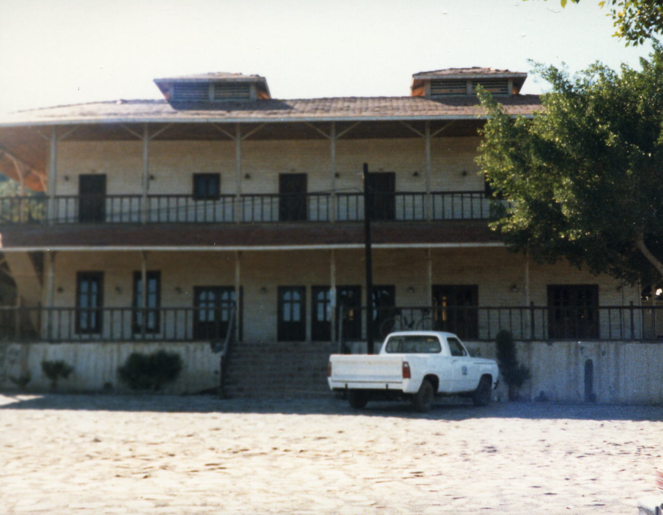
My wife and step-daughter drove me to the designated pick-up point in San Diego, CA where I was met by the Backroads staff and their support vans. When everyone had arrived we were then driven into Mexico to the Rosarito Beach Hotel in Rosarito where we stayed the night and had dinner.
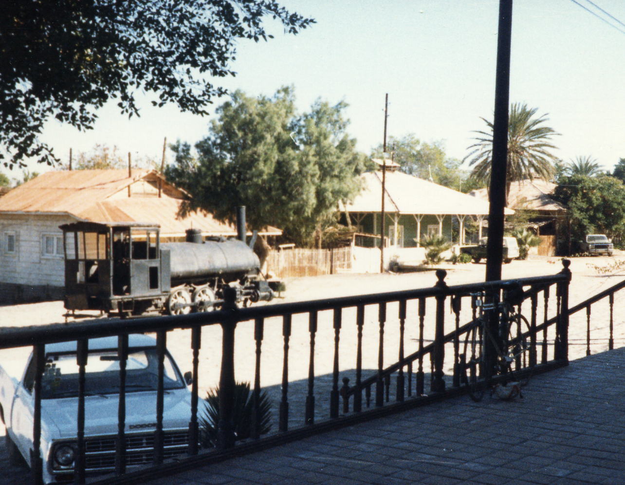
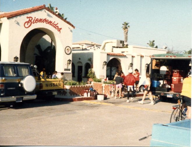 This is our hotel in Rosarita Beach the day before the Tour began. that first afternoon before dinner I met Ed Stiles at the bar. He was a retired walking route postman from the Seattle, WA area. He had been retired for about five years and had done some other bicycle tours and recommended the TransTexas Tour that he had just done. Since he was 70+ years old and everyone else on this tour was in their 20s or maybe early 30s he and I struck up a friendship that lasted until his death about 10 years later.
18 Dec: Rosarito to Ensenada, B.C. Norte, Mexico
Distance: 50.85 miles
Time/Speed: 3:19 / 15.3 mph
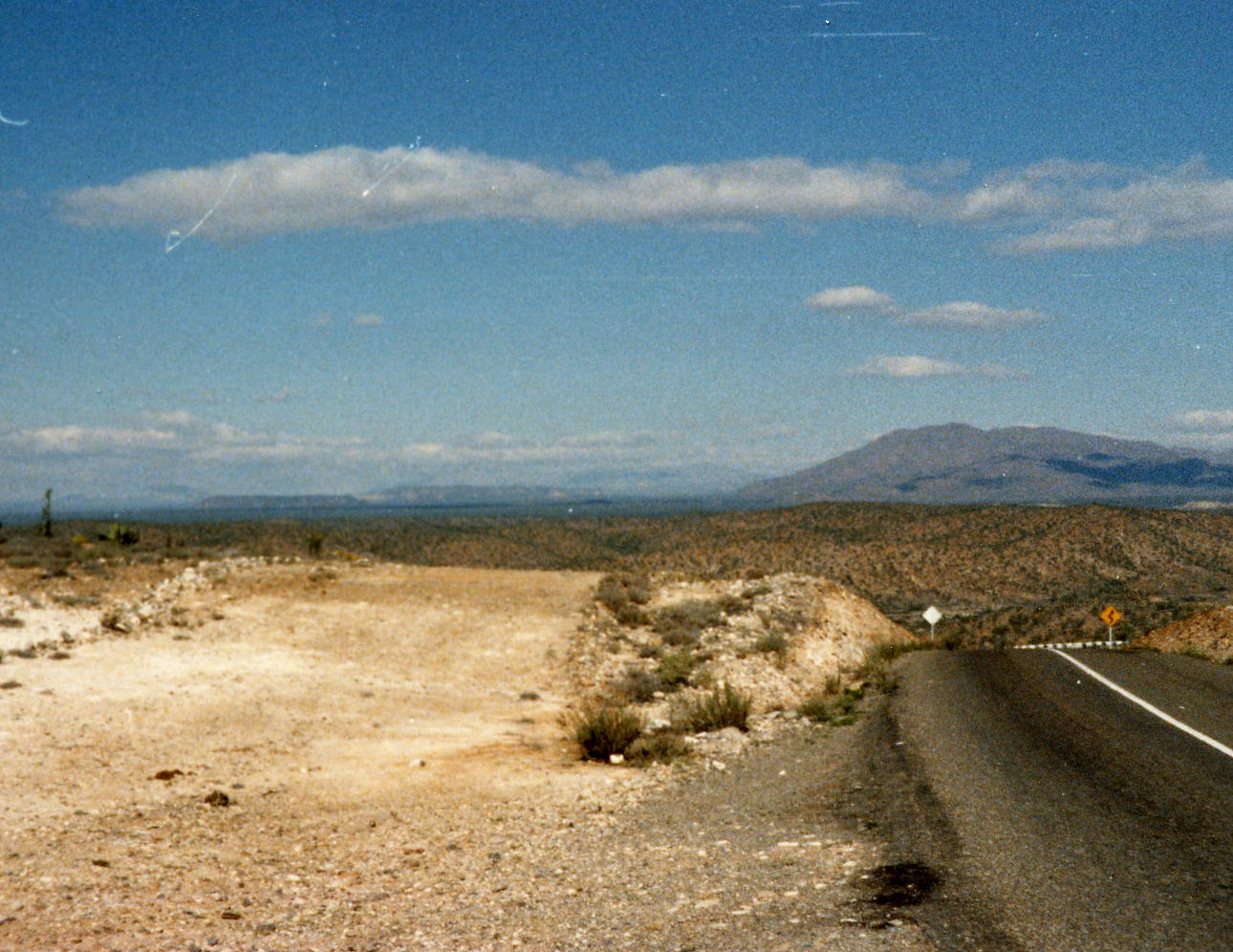
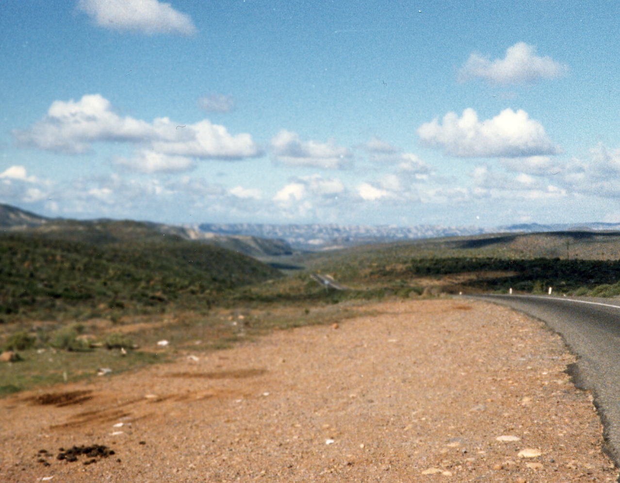
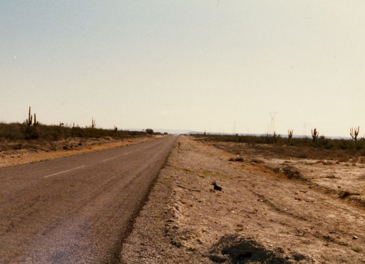
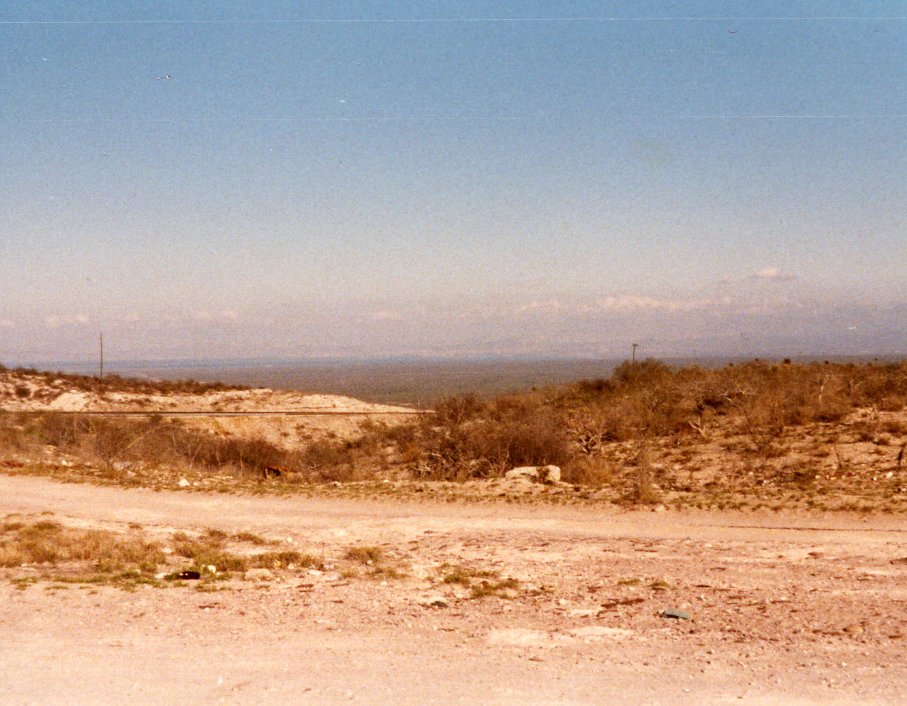
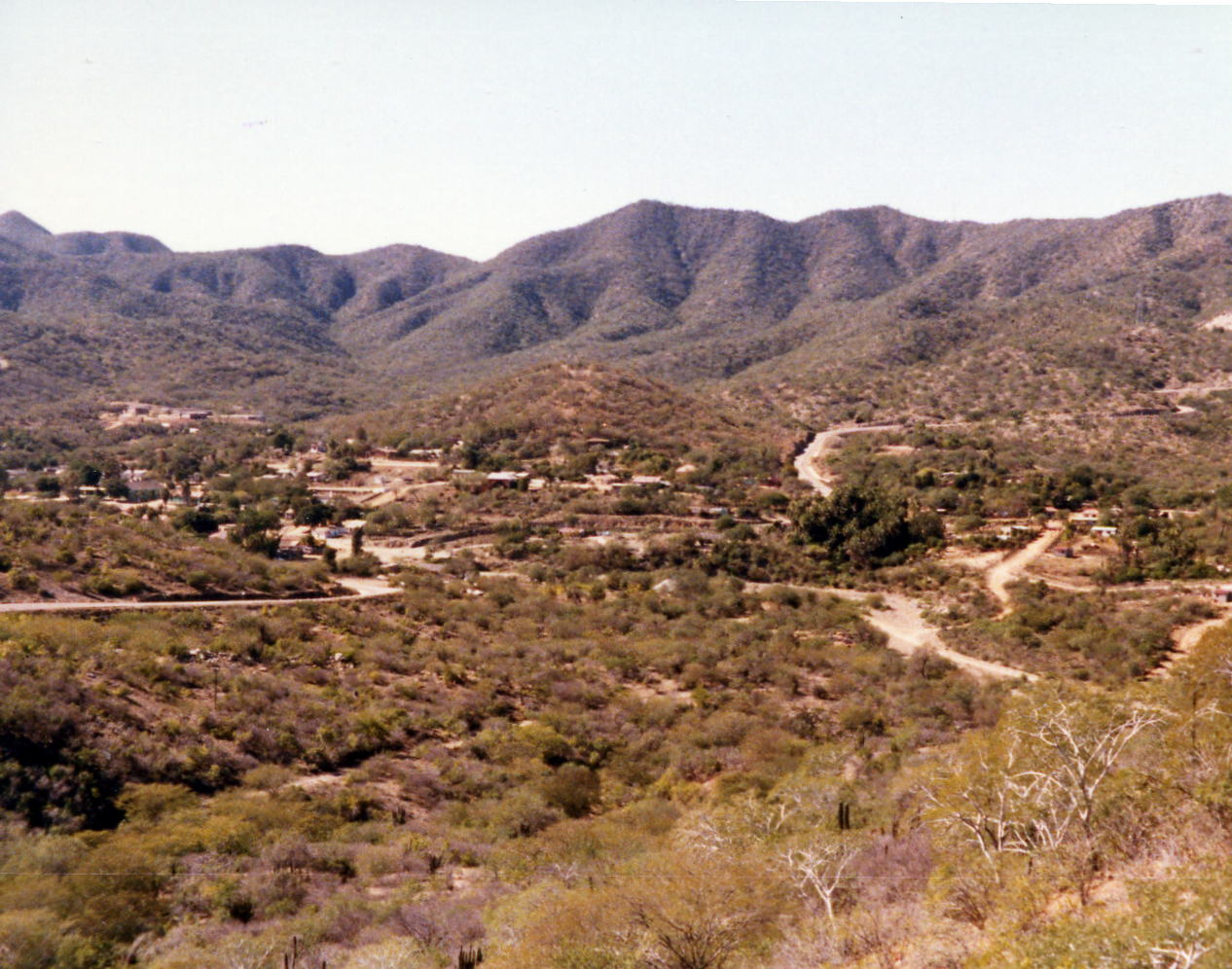
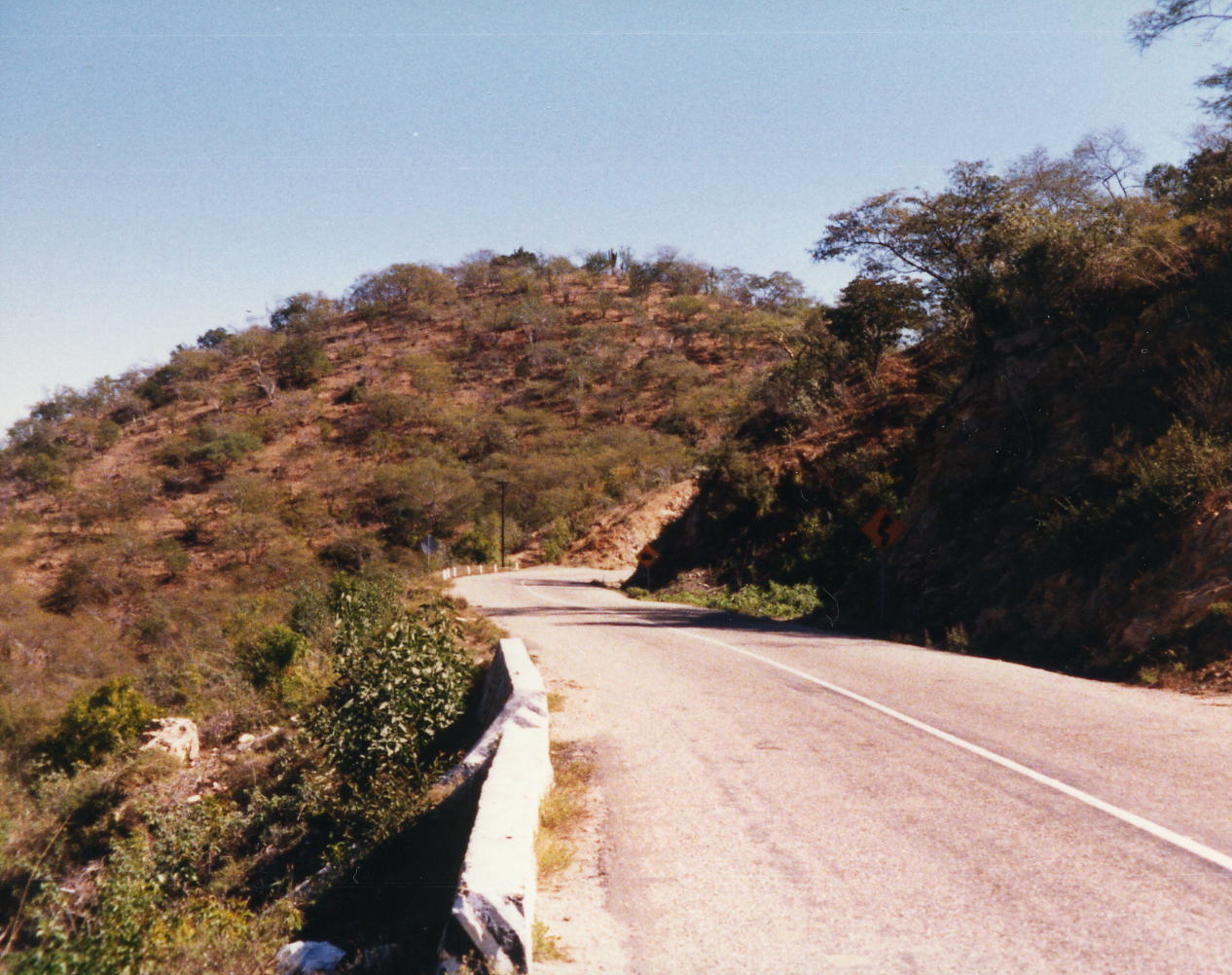
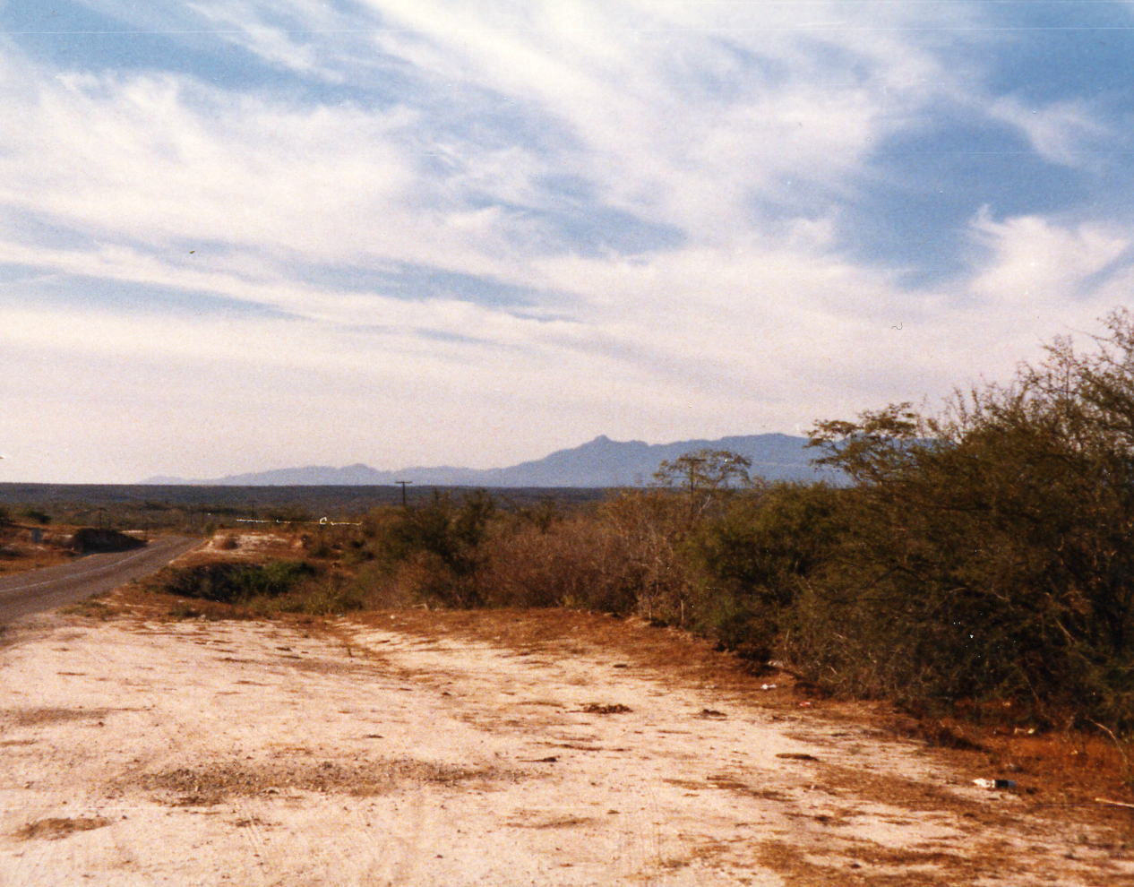
A lot of ranchos and small villages along the way today with about 6 climbs. We stopped at Immigration and got our tourist papers and arrived early enough in Ensenada to walk downtown and visit Hussongs Cantina where the Margarita was invented - back in October, 1941. We stayed at the El Cid Motor Hotel but I'm not sure where we had dinner.
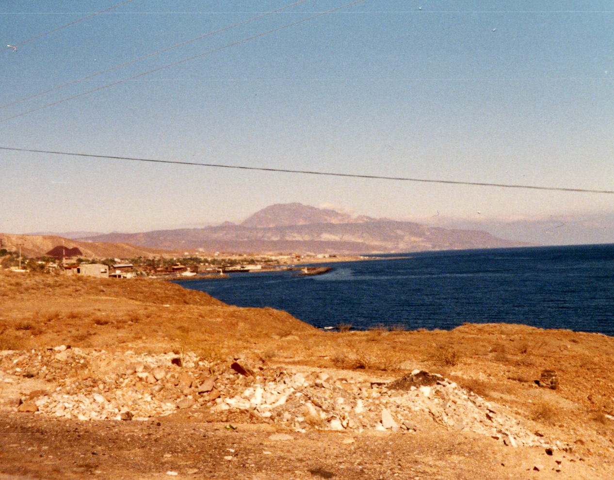
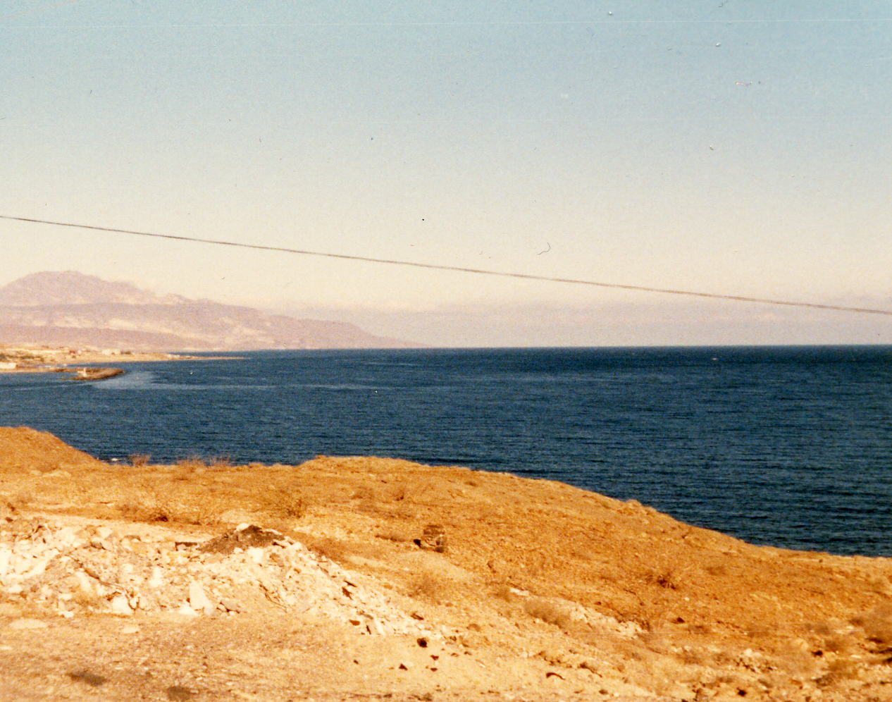
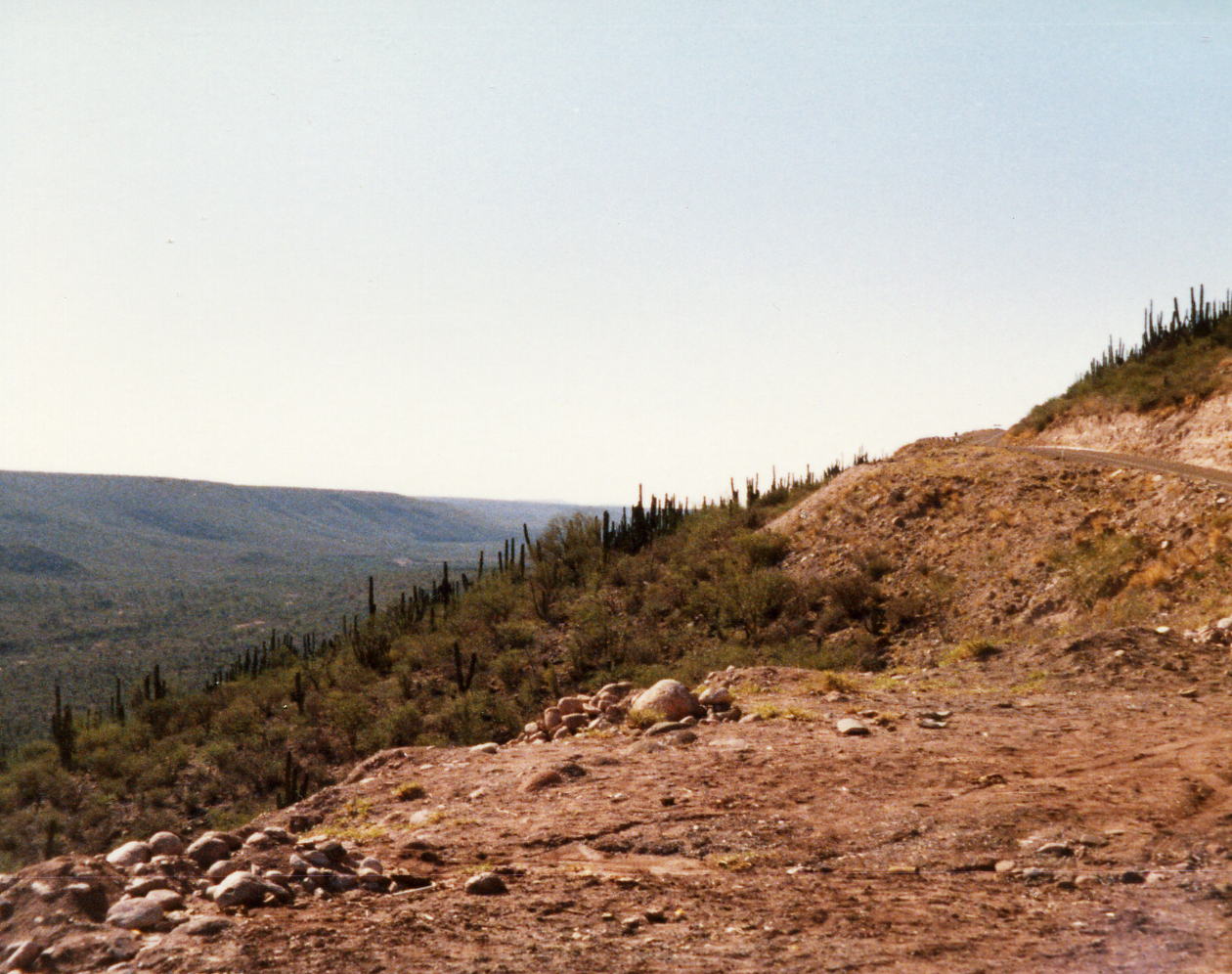
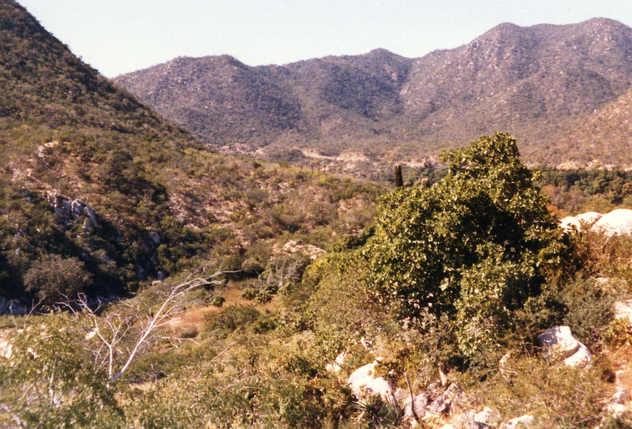
This is our stop at Immigration where we obtained our tourist cards for entry into Mexico. You do not need to have a car 'pass' in Baja as you do in mainland Mexico but do need a tourist card. I think these next two pictures were my attempt to show the mountains and the mountain pass that we were going to have to ride over. They were not the obstacle that they appear to be and it was a relatively easy day compared to what was coming.
19 Dec: Ensenada to San Quintin, B.C. Norte, Mexico
Distance: 131.40 miles
Time/Speed: 8:22/15.1 mph
I don't remember much about this day. It was my longest ride up to that time and I just made it to San Quintin before dark. The itinerary shows about twice the number of climbs as on the first day but I don't remember any of them as being very steep or very long. We stayed at the La Pinta San Quinton Hotel and had dinner there also.
20 Dec: San Quinton to Catavina, B.C. Norte, Mexico
Distance: 109.16 miles
Time/Speed: 7:50/13.9 mph
I remember even less about this day. I think I was just going through the motions to get to our next stop because I took no pictures at all and it is scenic near Catavina. Our overnight and dinner was at the La Pinta Catavina Hotel, the only hotel there at that time.
21 Dec: Catavina to Guerrero Negro, B.C. Sur, Mexico
Distance:144.72 miles
Time/Speed: 8:23/17.3 mph
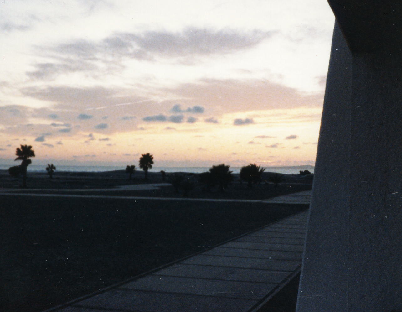
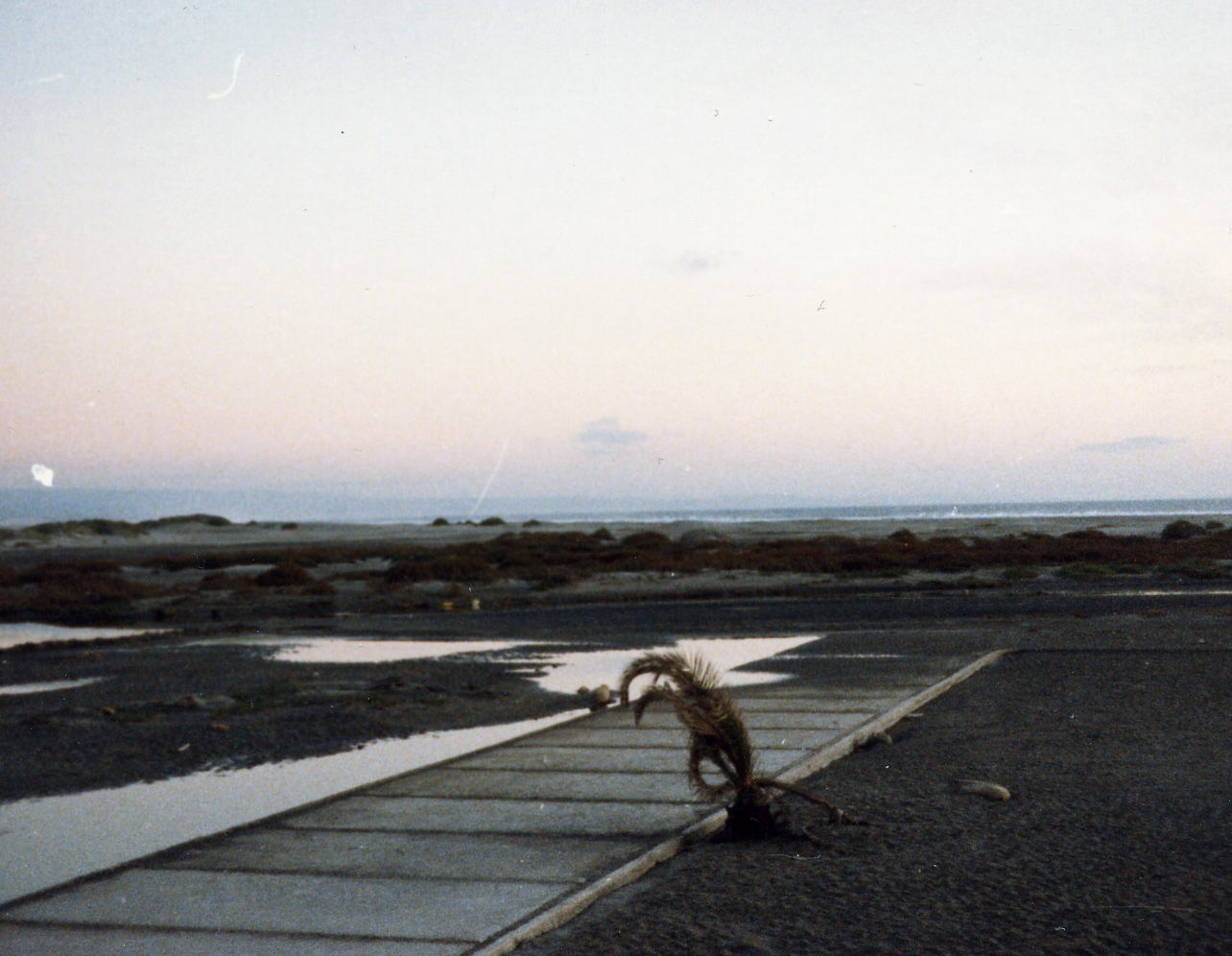
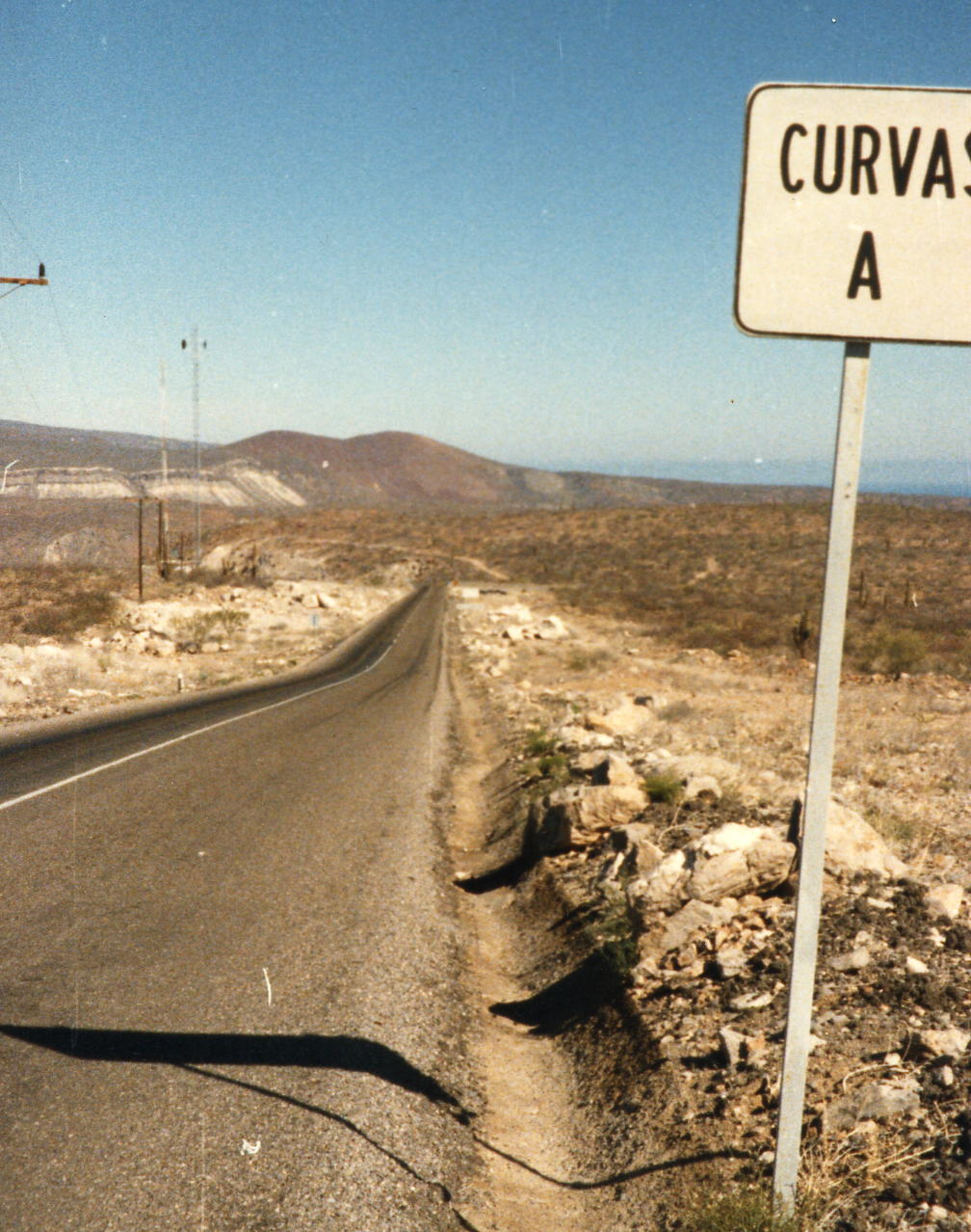
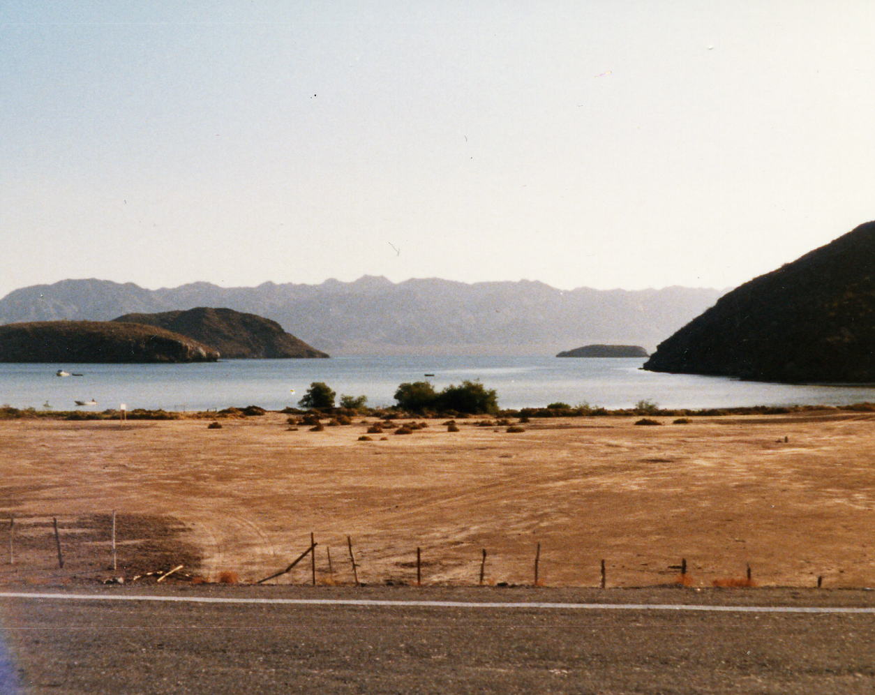
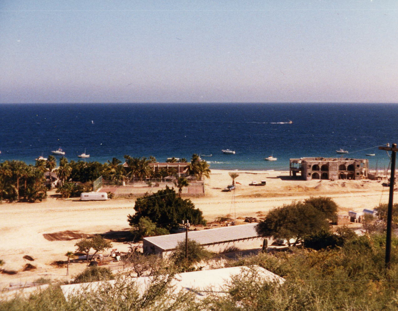
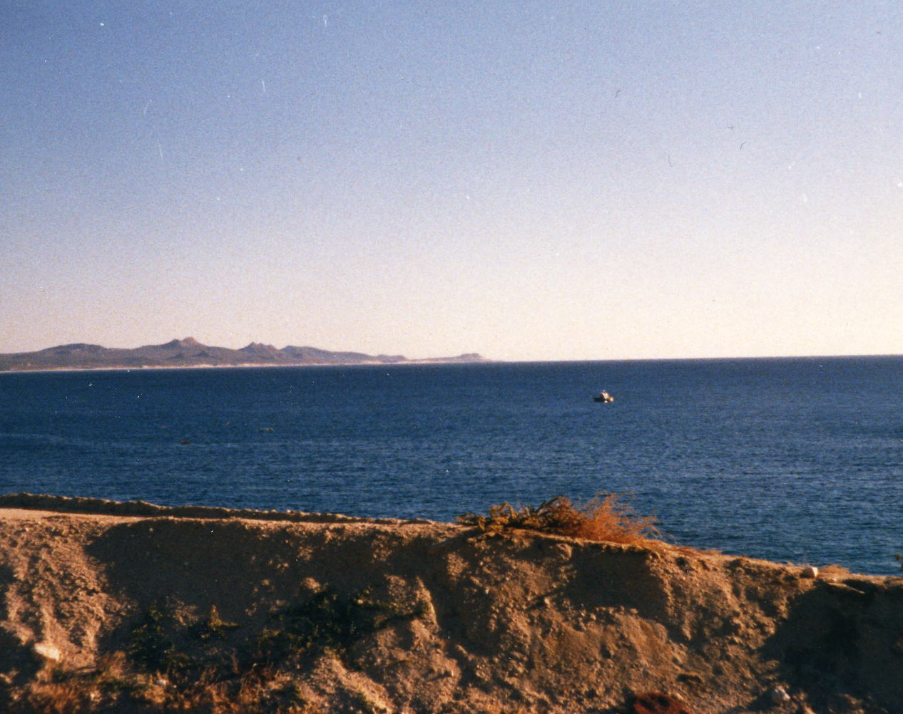
Today I set a personal best for distance that will remain for the rest of my life since I no longer ride a bike. I would not have been able to do the distance before dark if my speed had not been up for the day. I remember one downhill with a following wind that help that cause a lot at about the 2/3 mark. I also remember stopping at a small village store and buying a gallon of water to fill my water bottles. I then drank all I could hold, wrote a note that said the water was paid for and left it on the counter for anyone else that came along. There was no one, I was the only fool that was trying to ride ALL of each days distances. That was another problem for Backroads on this tour, they had to shuttle everyone for part(s) of almost everyday and they could not support their riders as they would have liked to. I didn't care that much but I never got water, snacks or lunch on these long days because I was out in front of the vans. We stayed at the La Pinta Guerrero Negro Hotel which is just off Mex 1 whereas the the town of Guerrero Negro is an additional 3.5 miles to the south and west.
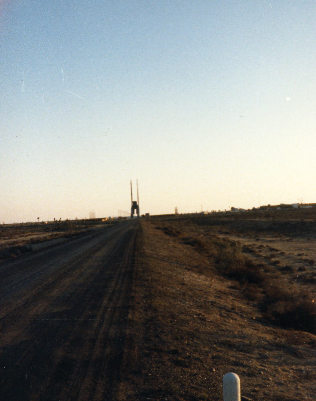 The three pictures above are what I think is the start of the downhill that made this day possible. The second picture is a pan to the left of the first one. Photo number three may be a little later in that downhill when another range of mountains appear before me. The near left picture is a stylized Eagle Monument that spans Mex 1 at the border of the two Mexican States, Baja California Norte and Baja California Sur, just north of the hotel stop for the night. You can tell by the long shadows and the glow in the sky that I'm about out of daylight. That was another challenge, do these long rides on the shortest daylight days of the year - today being the shortest!
Route Baja Sur
22 Dec: Guerrero Negro to San Ignacio, B.C. Sur, Mexico
Distance: 95.61 miles
Time/Speed: 6:23/15.0 mph
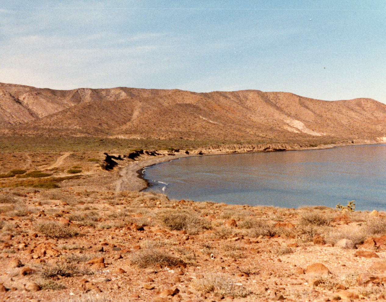
The first part of this day was what I liken to sensory deprivation, you are riding through a desert that does not change and it seems like you are standing still. The pedals are going around but nothing else appears to be moving. There are ranchos all along even the most desolate parts Mex 1 and I relied on them for brief rests and maybe a snack or soft drink but had taken very few pictures - today I lucked out and happened to get a classic shot. Today was also one of the very few days that I rode with anyone; I was usually up very early and on the road before most people were ready to ride. I think I was a little late in getting up this day, after the past three days, and I caught up with Ed Stiles who had shuttled past me. We stayed at the last of the La Pintas, the La Pinta San Ignacio Hotel where we also had dinner. These La Pinta Hotels were built by the Mexican Government to provide a place for tourists to stop when the paving of Mex 1 was completed in 1975, prior to that time it was much more difficult to travel by car to La Paz.
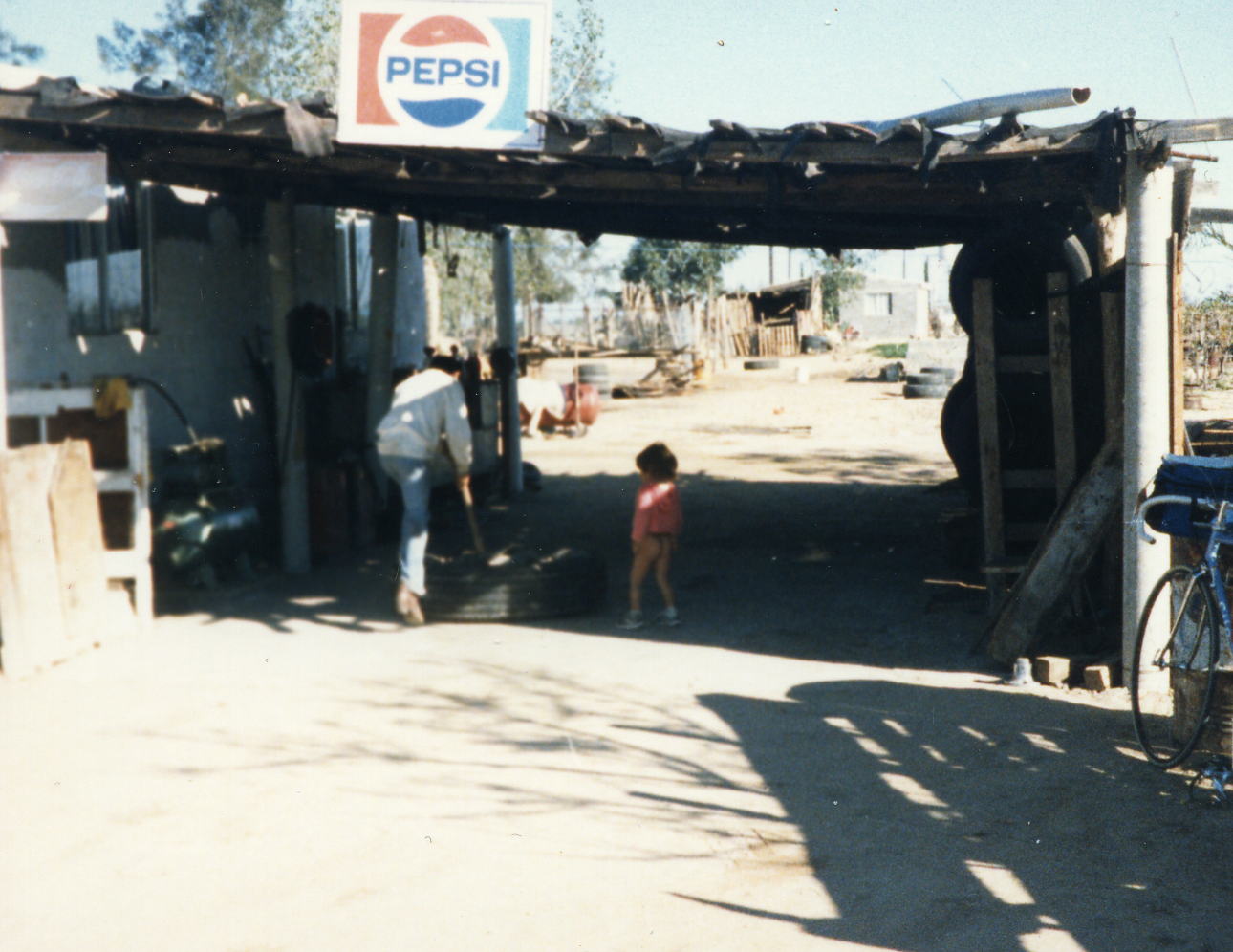
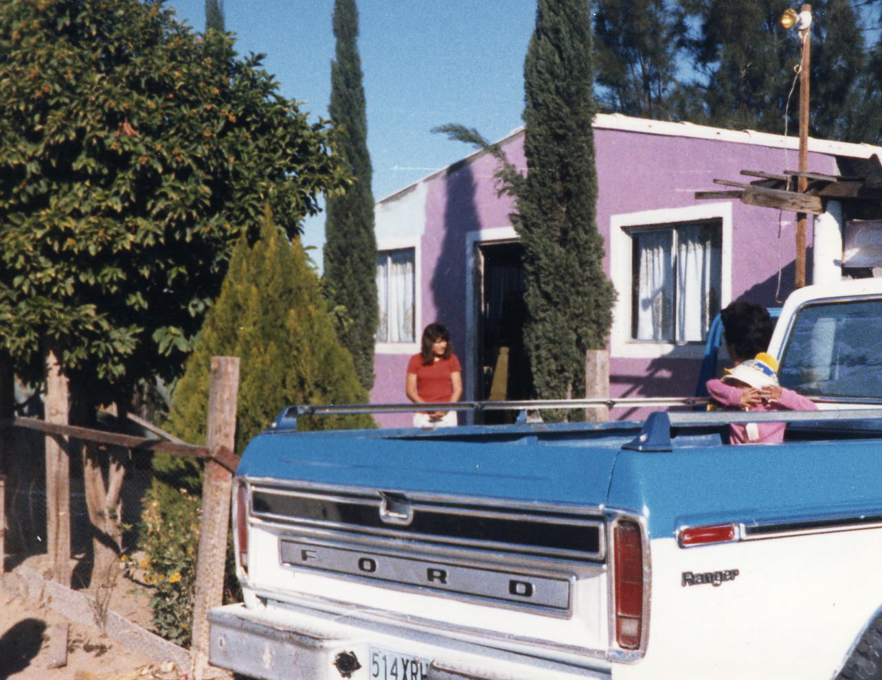
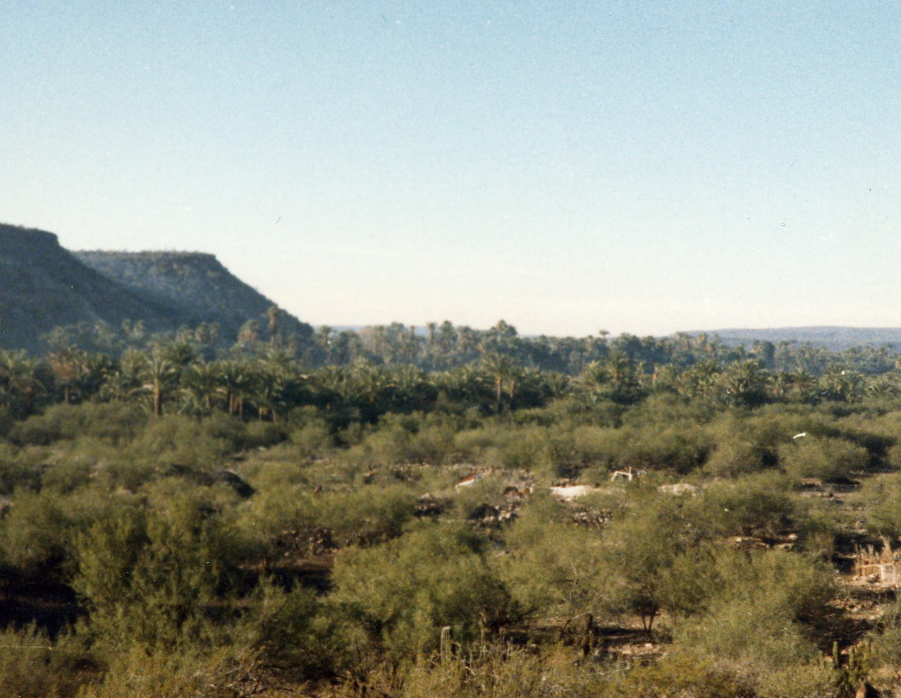 There are ranchos all along Mex 1 even in some of the most desolate parts. Here I possibly stopped for something to drink and got a classic picture of this child, watching dad fix a tire, that has solved the dipper problem. The second picture shows that that they have found a source of water and it appears a source of income to support a nice home and truck (Ford is the truck of choice). This is the San Ignacio valley with the town hidden in the date palms of the second picture. It is a startling sight to suddenly have this lush valley appear out of a rather stark desert.
23 Dec: San Ignacio to Santa Rosalia, B.C. Sur, Mexico
Distance: 48.22 miles
Time/Speed: 3:53/12.4 mph
A very short day that I used to try to recover from the hard days that I had put in. This was one of the few days that I stopped at the mid-day lunch stop and I may have been riding with other people but don't remember. It was also a day that gave me a lot of time to look around the town of Santa Rosalia. In addition it was close to Christmas so I found a telephone, I think it was a radio telephone hook-up with mainland Mexico, to call my wife in Phoenix where she was spending Christmas with her parents and sisters. I told her that I was doing fine and to wish everyone a Merry Christmas. We stayed at the Hotel Frances and I think dinner was there also.
24 Dec: Santa Rosalia to Mulege, B.C. Sur, Mexico
Distance: 40.91 miles
Time/Speed: 2:36/15.7 mph
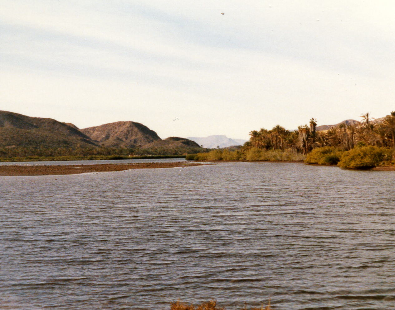
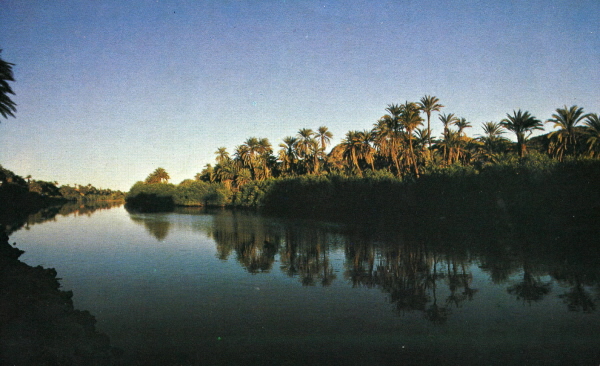
This was almost like having a day off. Almost a flat route and short mileage with an ice cream shop in Mulege where we turned to go out to the river mouth and our hotel for two nights, The Villa Hermosa.
 Two pictures of Santa Rosalia as I ride south to Mulege. I think these are the first pictures that I have taken of the town that I'm leaving because I've usually left at sun-up or just before.
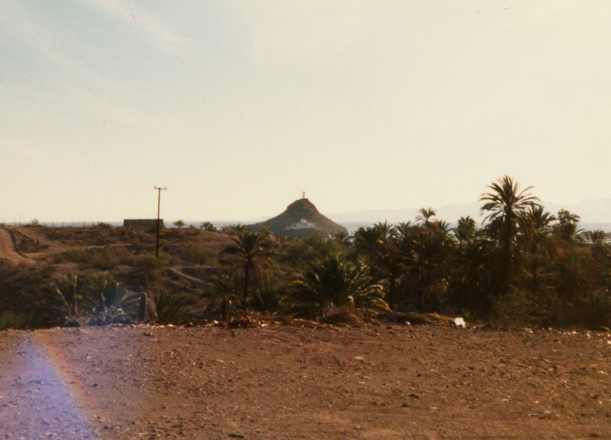
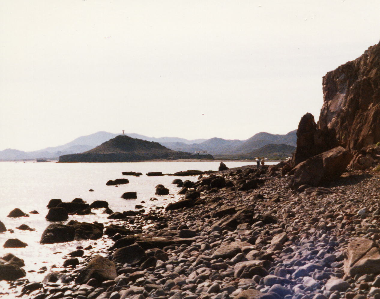
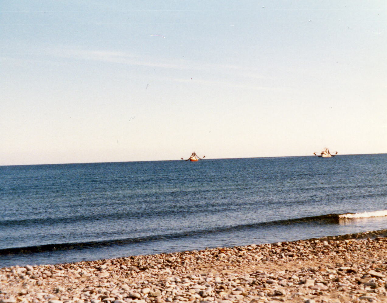
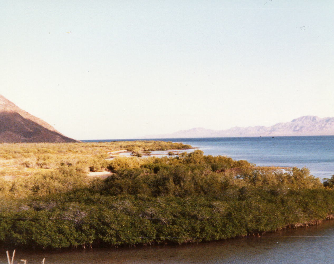
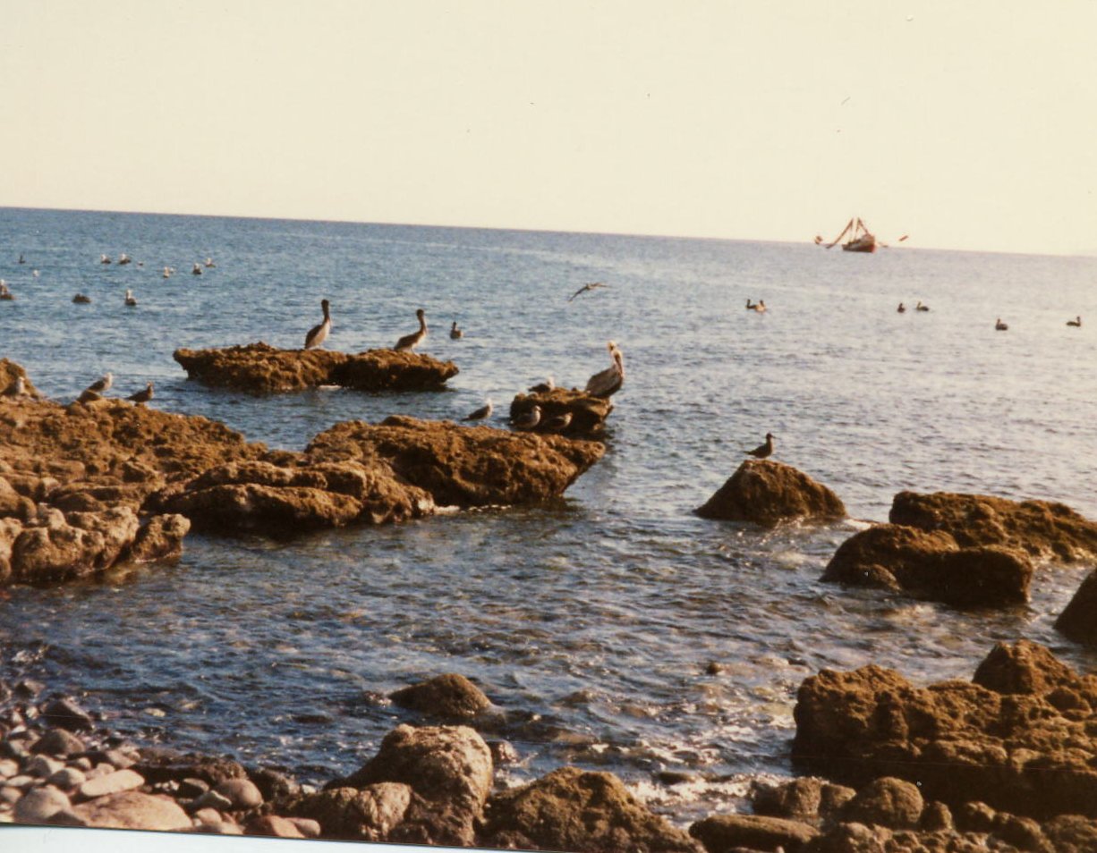 Two pictures of El Sombrerito, a hill that appears to be an island from some vantage points, with a light house on it's summit. Shrimp boats in the Gulf of California just off the mouth of the river and El Sombrerito.
25 Dec: Mulege, B.C. Sur, Mexico
Distance: None - Christmas Day
A full day off that gave me some more time to recover. It was also a good day to walk around some and stay off the bike. Went into Mulege once again to a laundromat next door to the ice cream shop and got clothes washed for the rest of the tour.
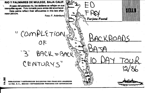
I am not sure if I was given this award here in Mulege today, but I think so. The end of the 10 Day tour is tomorrow in Loreto but since it is a Mulege postcard I think I got it at our Christmas Dinner.
26 Dec: Mulege to Loreto, B.C. Sur, Mexico
Distance: 88.44 miles
Time/Speed: 5:55/14.9 mph
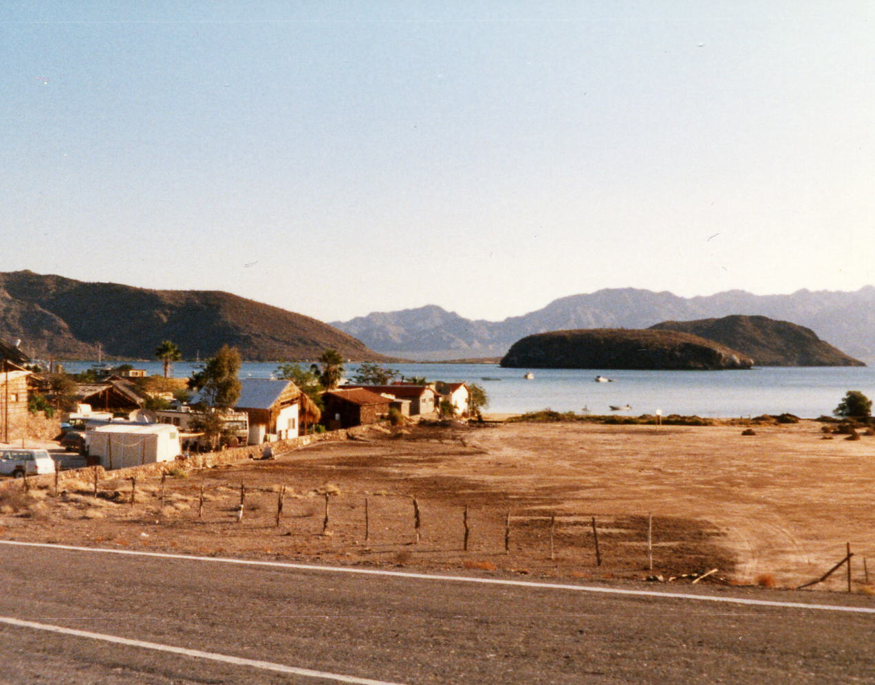
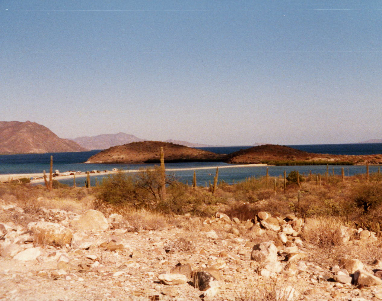
I don't remember this day as being this many miles. Perhaps it was due to having the Bahia de Santa Ines and Bahia Concepcion in view much of the time. I am reasonably sure that I made the lunch stop again today and maybe the socialization made for a shorter day. Today is the last day for the 10 Day Baja I and there may be some people leave tomorrow and new riders will join us for the 8 Day Baja II. We stayed at the hotel Oasis for two nights.

27 Dec: Loreto, B.C. Sur, Mexico
Distance: None
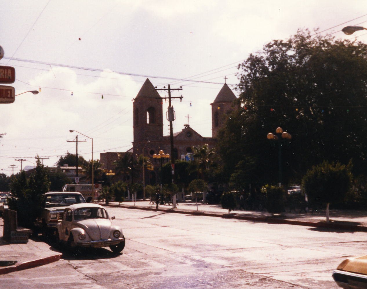
Today is a rest day or a transport day for riders that are leaving or joining. I don't remember doing anything in Loreto, only took one picture in town. The day is a blank.
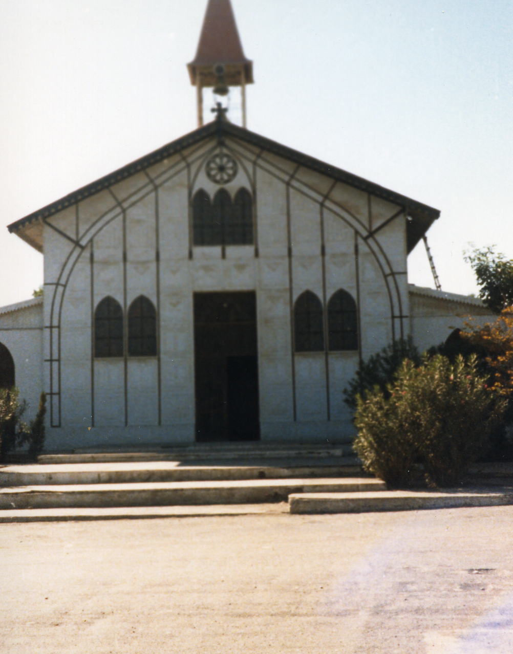
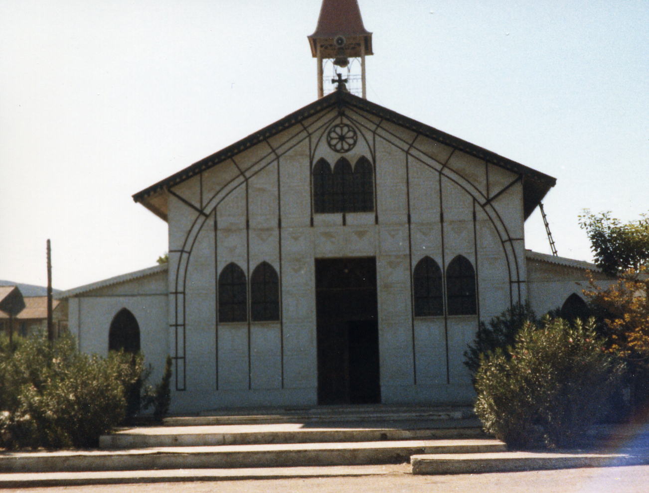
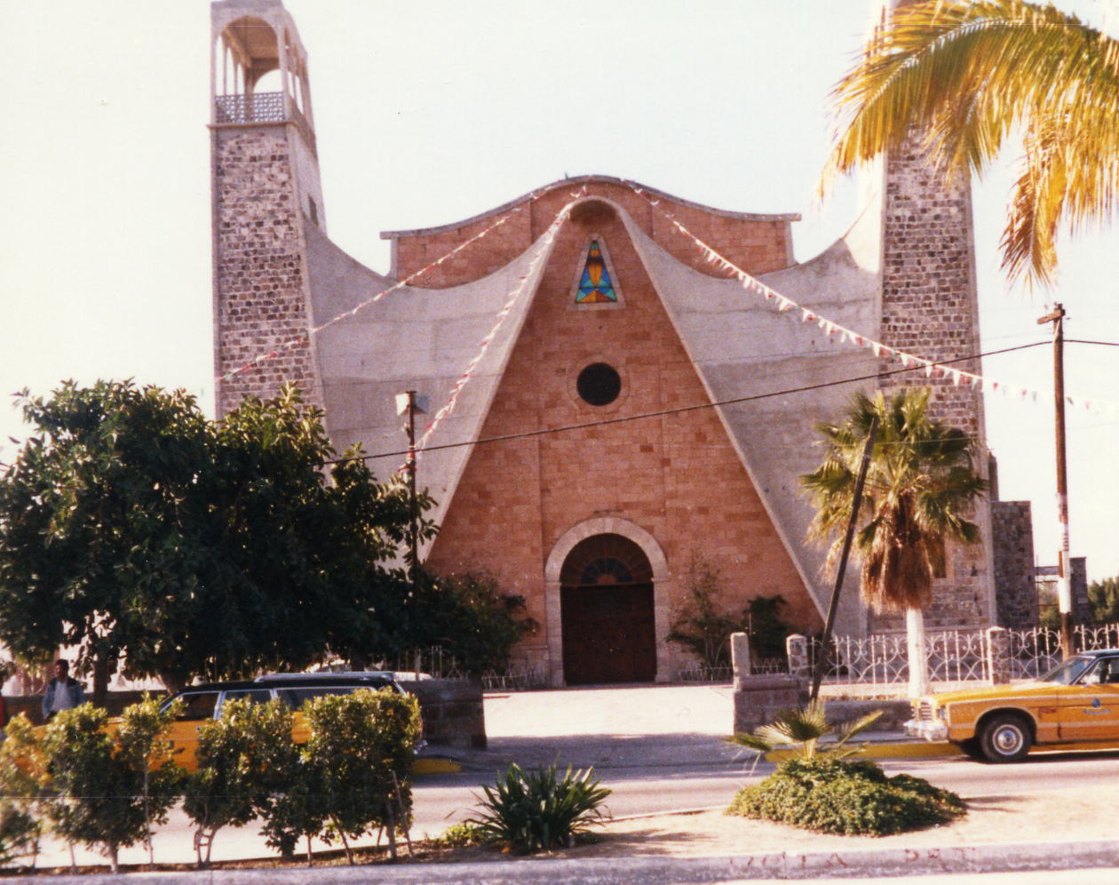
 This is the church of Nuestra Senora de Loreto, it was completed in 1752 but an earthquake in 1877 collapsed the tower. It has been extensively remodeled and practically rebuilt during the last century. Loreto was the first permanent settlement in California and it's capital in 1697 but when most of the town was destroyed by a hurricane in 1829 the capital was moved to La Paz.
28 Dec: Loreto to Ciudad Constitucion, B.C. Sur, Mexico
Distance: 93.09 miles
Time/Speed: 6:26/14.5 mph
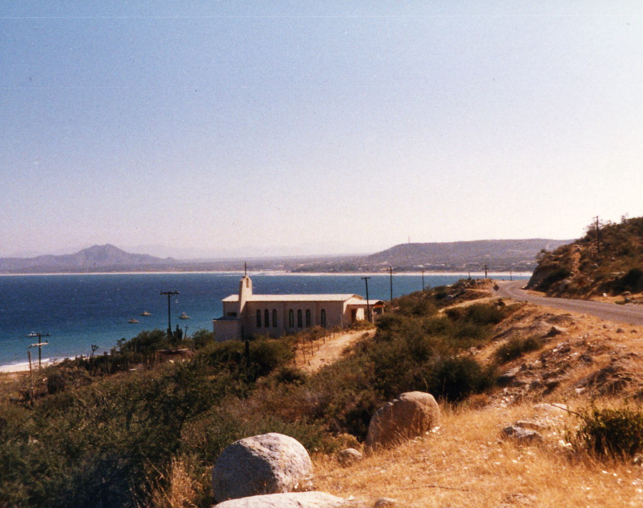
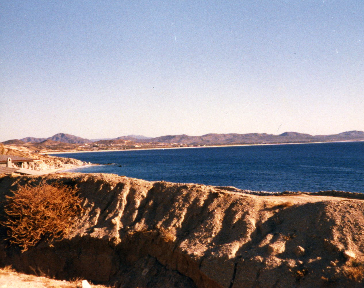
Today the route took us back west toward to Pacific Ocean and then due south. Tomorrow we will continue south and the turn east again to get back to the Gulf of California. I don't remember anything special about this day except there was some farming once again versus all desert. The Hotel Maribel where we stayed did not leave any lasting impression either.
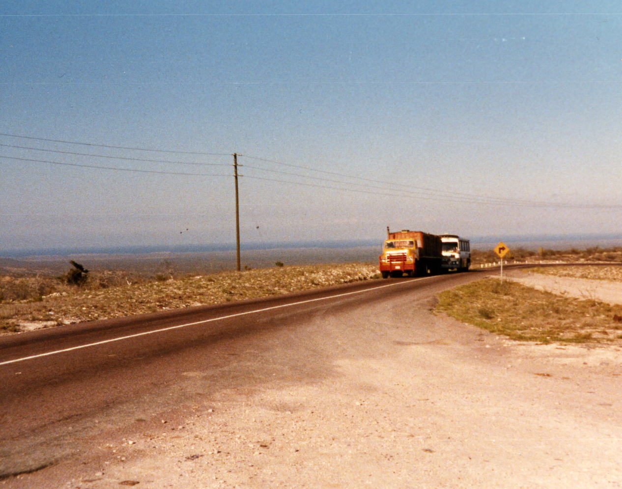
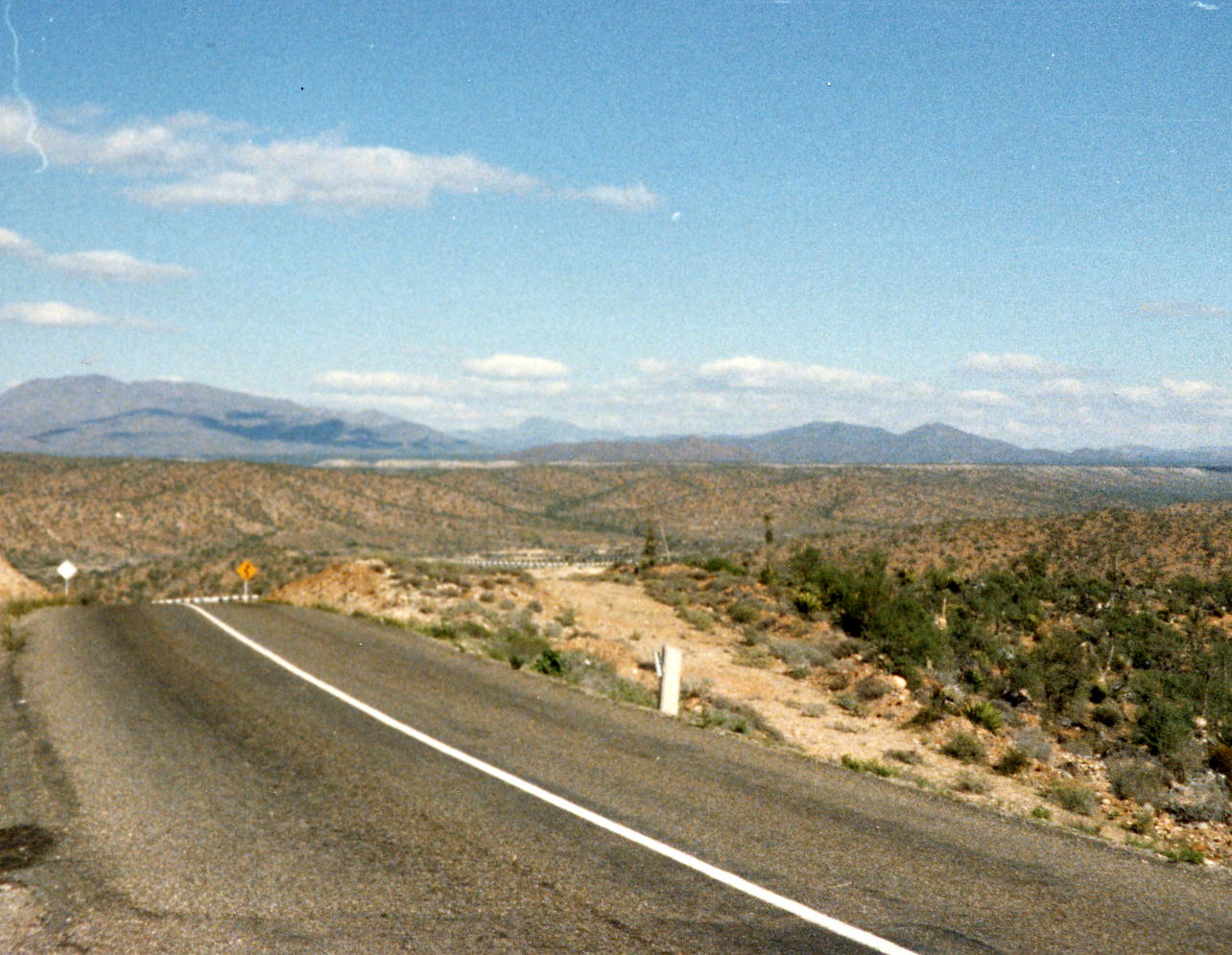
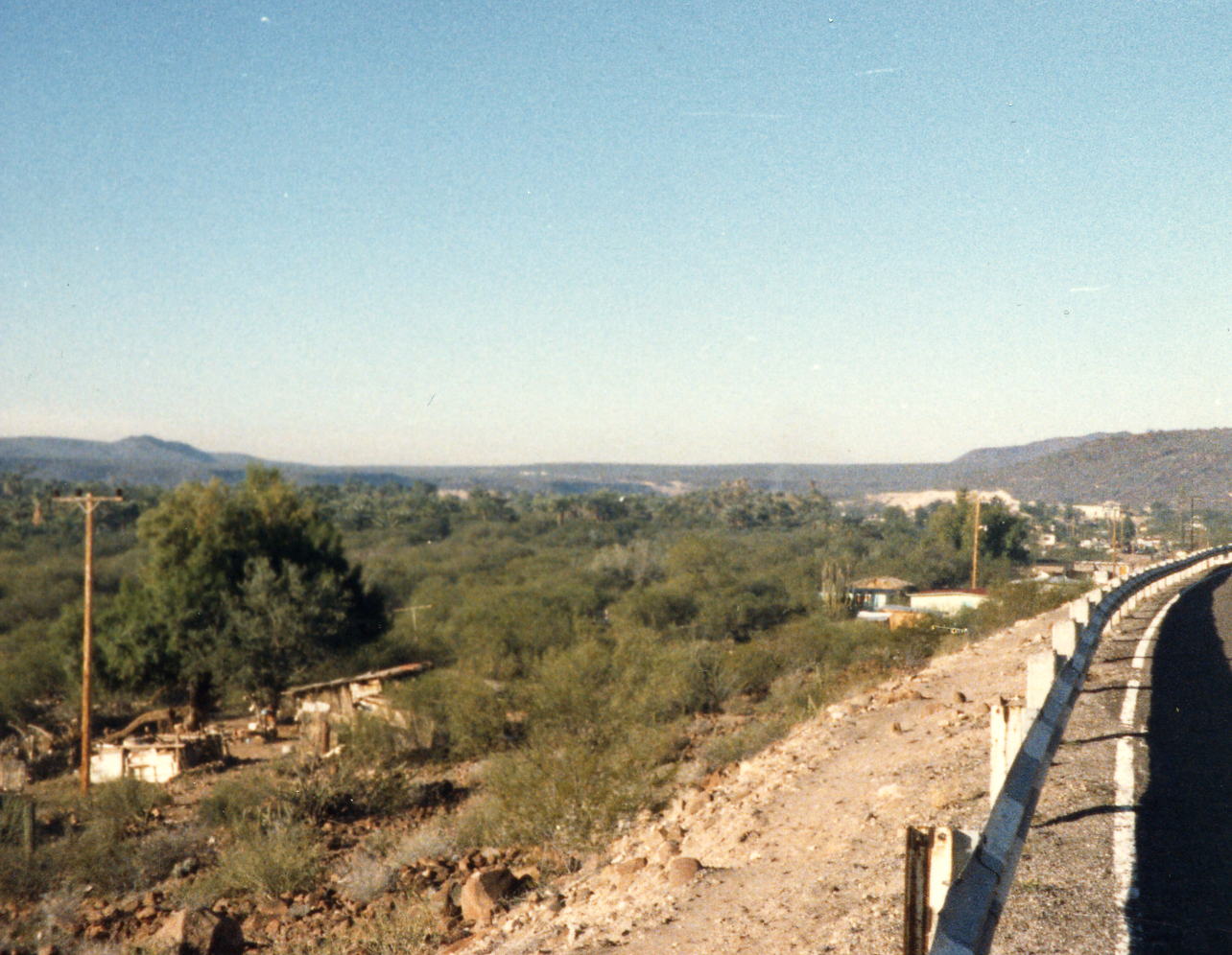
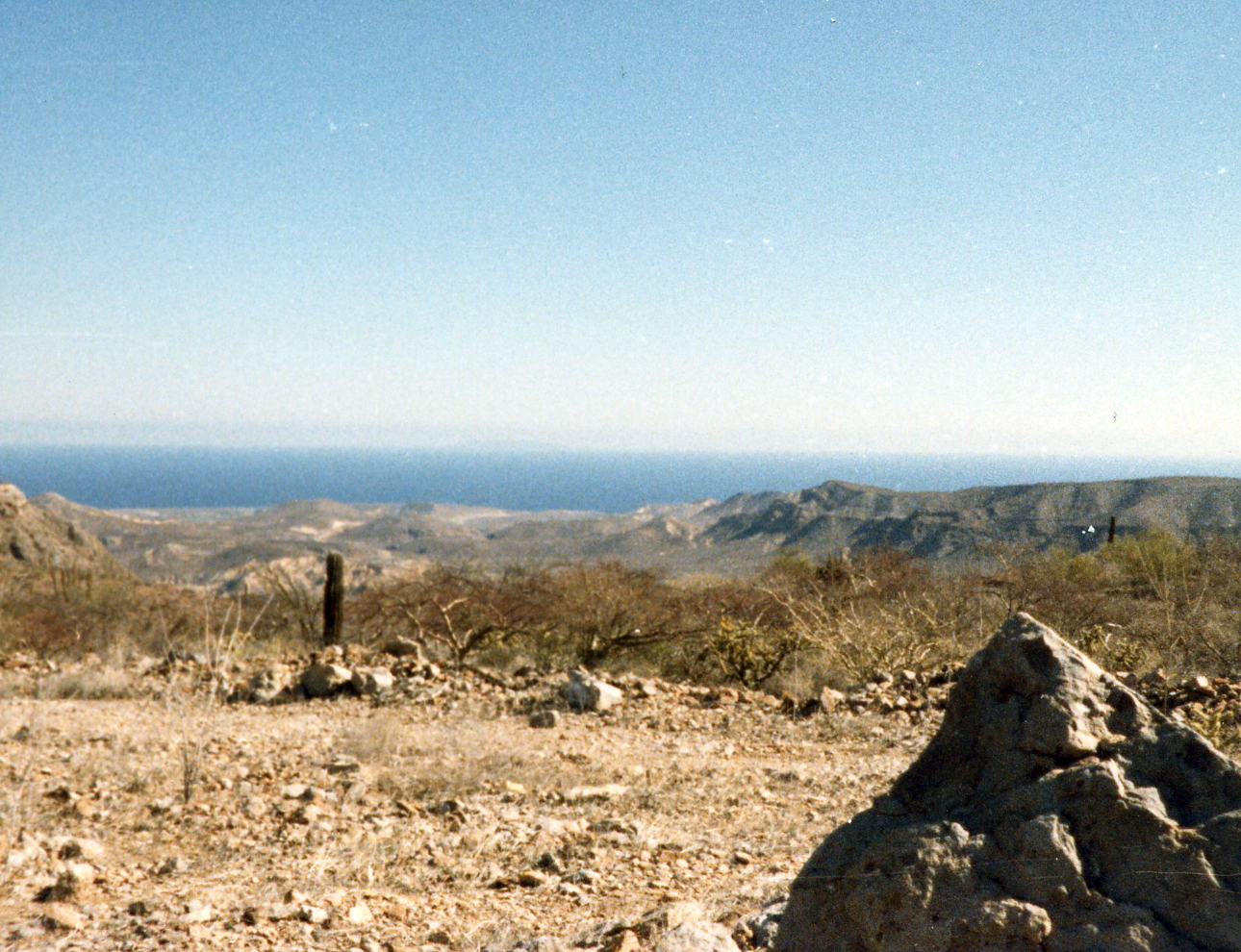
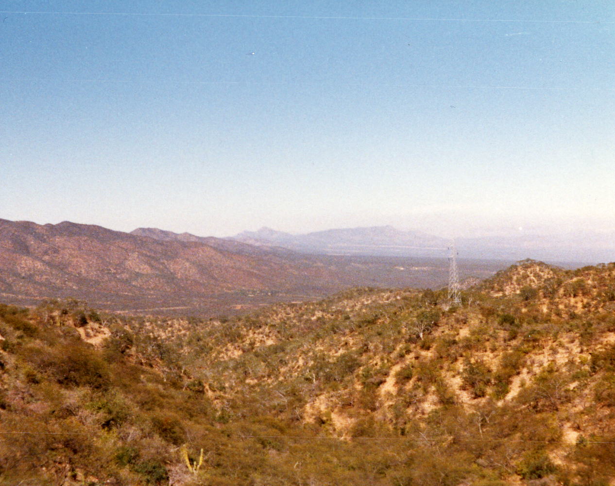
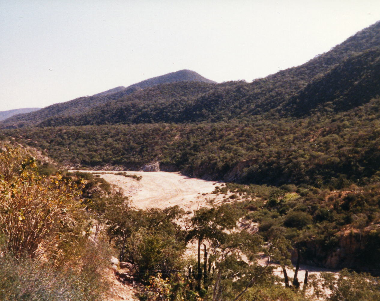
 In the rows above are three shots of the desert along the Pacific side Baja before irrigation begins. In the third picture you can see the Pacific on the far horizon. You also see the trucks that we had passing us every day; they always gave us plenty of room, it was the American tourists that were the bigger danger. One of our riders was 'brushed' by a boat that was wider that the tow vehicle and the driver did not allow enough passing room. Two pictures of a large canyon that Mex 1 follows to the west. It opens up in the flat desert that has been brought under cultivation with wells as you approach Ciudad Constitucion.
29 Dec: Ciudad Constitucion to La Paz, B.C. Sur, Mexico
Distance: 132.15 miles
Time/Speed: 8:55/14.8 mph
This was another long day and I would not have made it without some help. I don't remember if the two guys that caught up to me at about the 100 mile mark had shuttled part of the way or was just faster than I was and had started later. However, at the point that they did catch up to me we had turned toward the east and were getting an afternoon on-shore wind i.e. a head wind. I was struggling and without their help in a pace line I think I would have waited for the shuttle van. We were at the Los Arcos Hotel for the next two nights.
30 Dec: La Paz, B.C. Sur, Mexico
Distance: None We had a rest day in La Paz which was good after yesterday. Walked around town a little and took a few pictures but took it easy to recover.
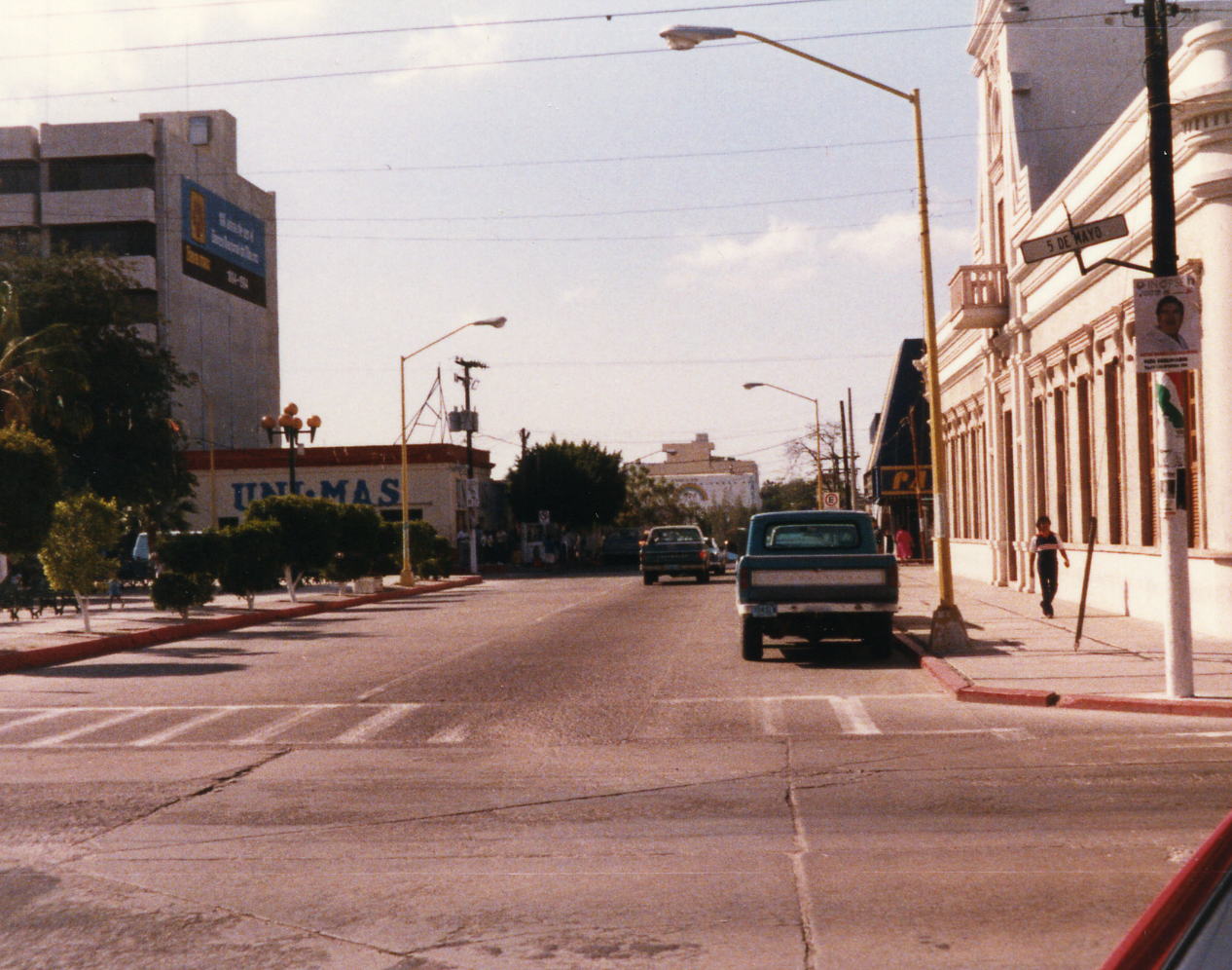
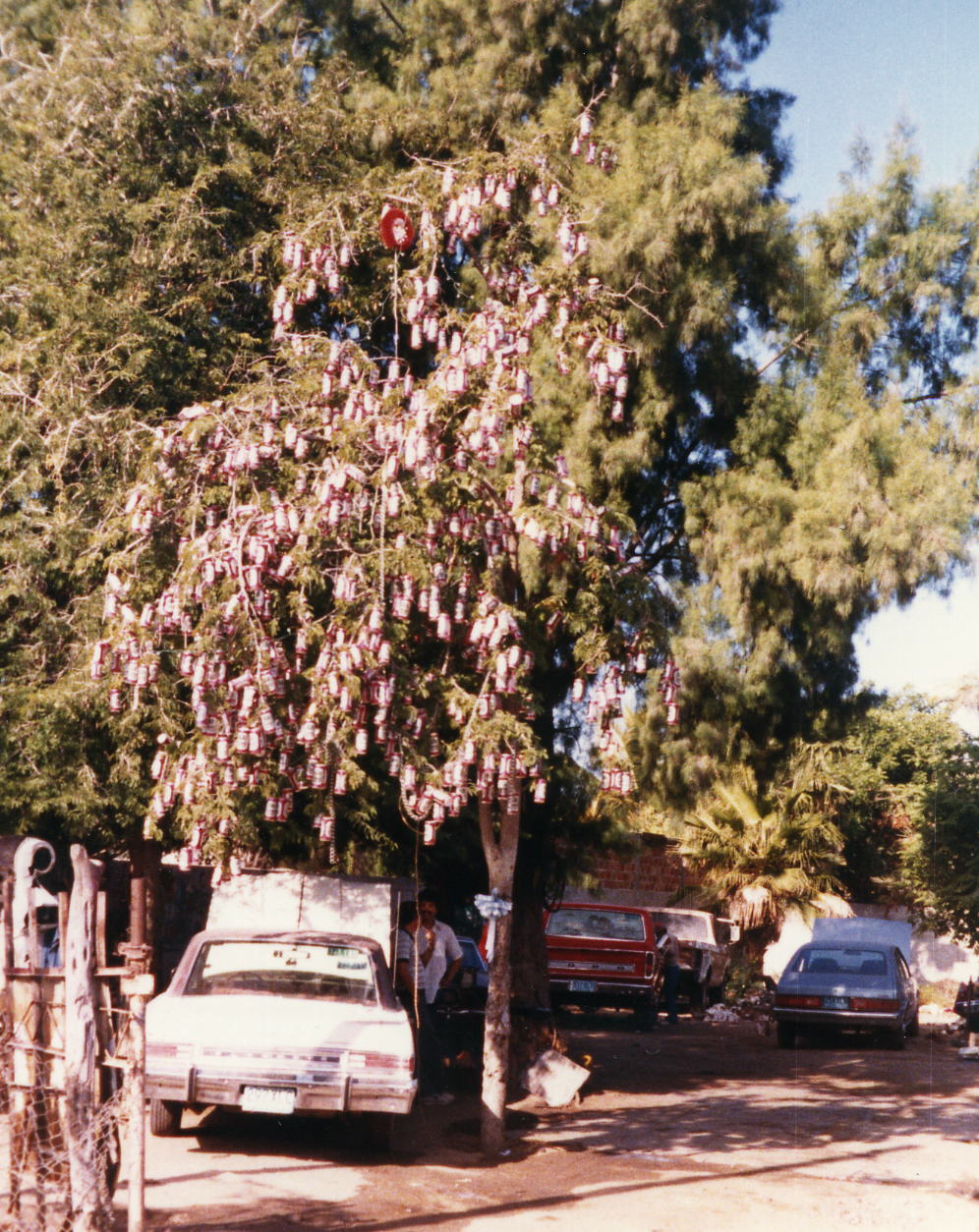 This is a La Paz Christmas Tree or perhaps they continue decorating of the tree all year long for the various holidays. The decorations are all Tecate beer cans. Three pictures above are of downtown La Paz taken when I did a brief walk.
31 Dec: La Paz to Buena Vista, B.C. Sur, Mexico
Distance: 70.19 miles
Time/Speed: 4:58/14.1 mph
The thing that sticks in my mind from this day was a truck that followed me for 1-2 miles up a hill and never attempted to pass. There was plenty of opportunity and I don't remember any other traffic but he was happy to follow along behind me as I did my climb. At the top of the hill he then passed and I was following on his bumper at 30 mph for a short time with 3-4 kids in the back encouraging me on to more speed. I was also impressed by the small mining towns and the Sierra de Laguna, the most interesting mountains that the tour went through. It was also New Years Eve and the Rancho Buena Vista had a party where I might have stayed for one or two drinks. I remember being awakened by my room mate(s) at some time in the morning and I took very little care to be quiet when I left at sunrise.
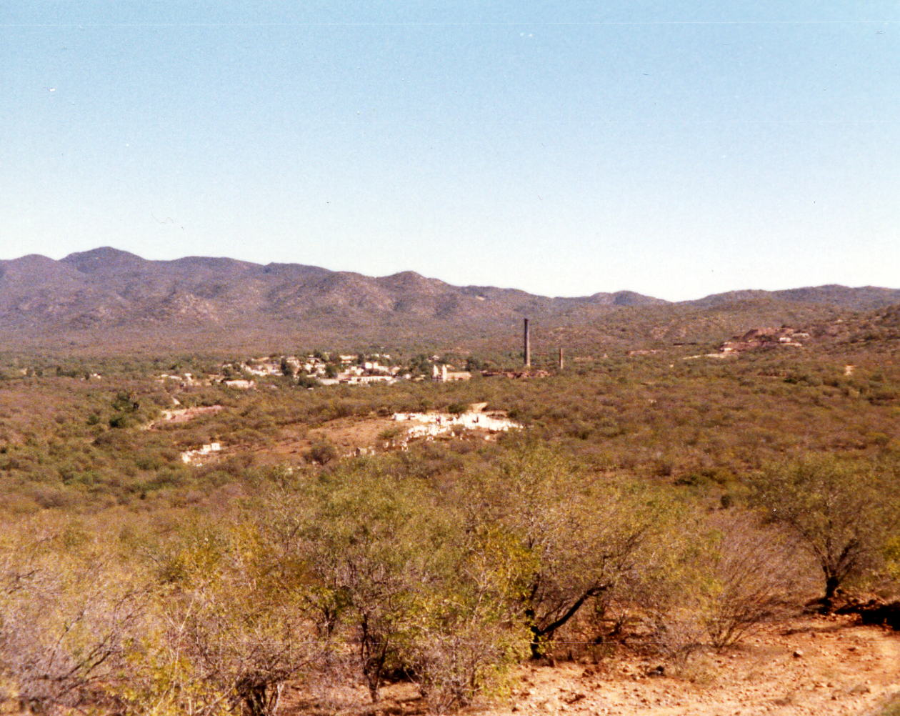
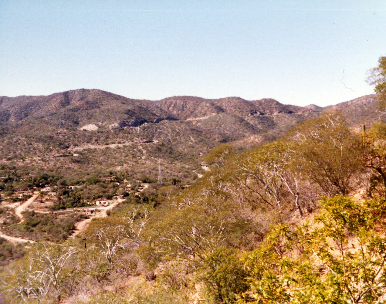
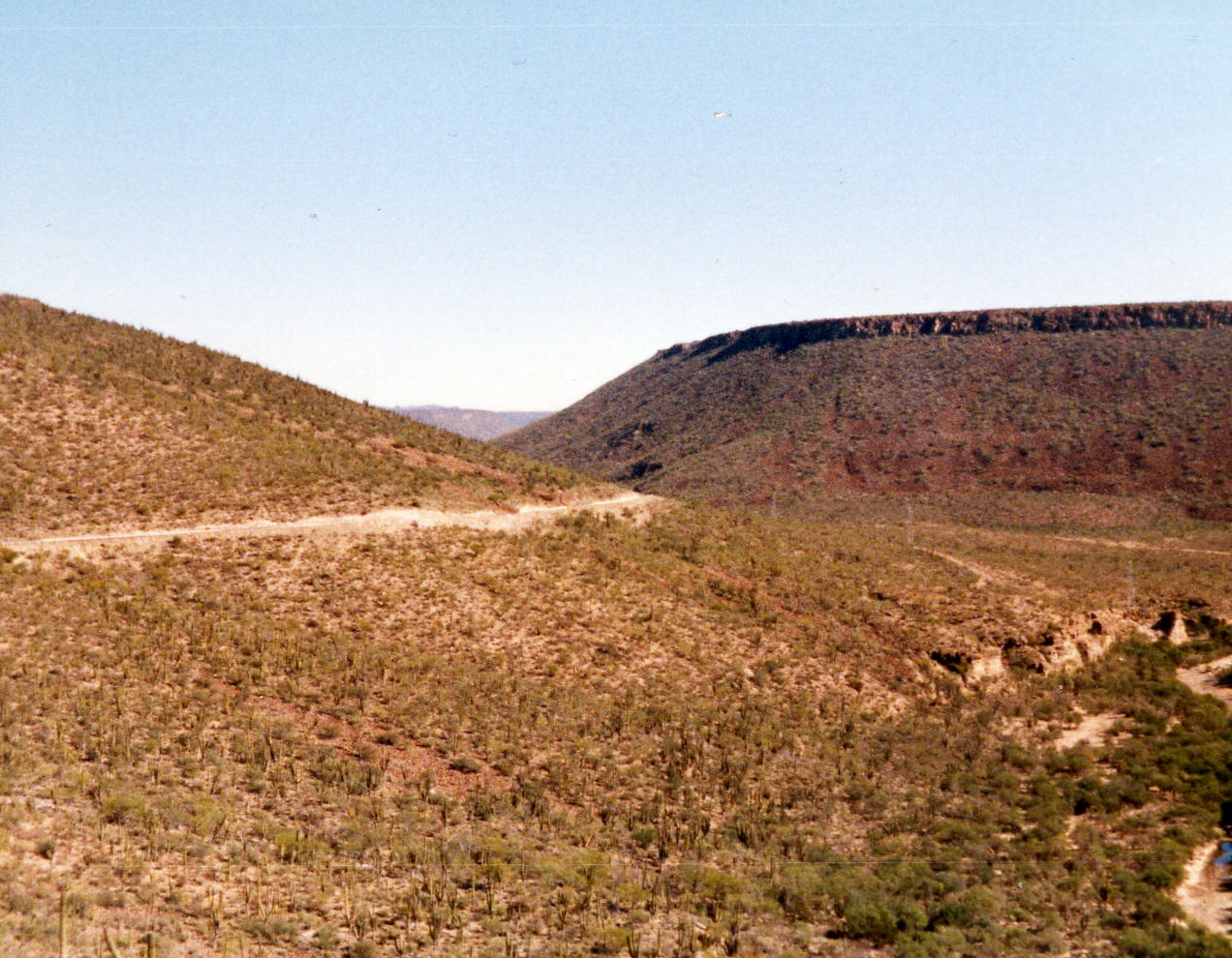
 Two pictures of small mining town with what appears to be a smelter stack, probably discontinued, about half way to Buena Vista from La Paz. It is off of Mex 1 on side roads but perhaps I'll explore it some other time? Two pictures of what I think is another mining town not far from the one above; it is probably no longer an active mine operation.
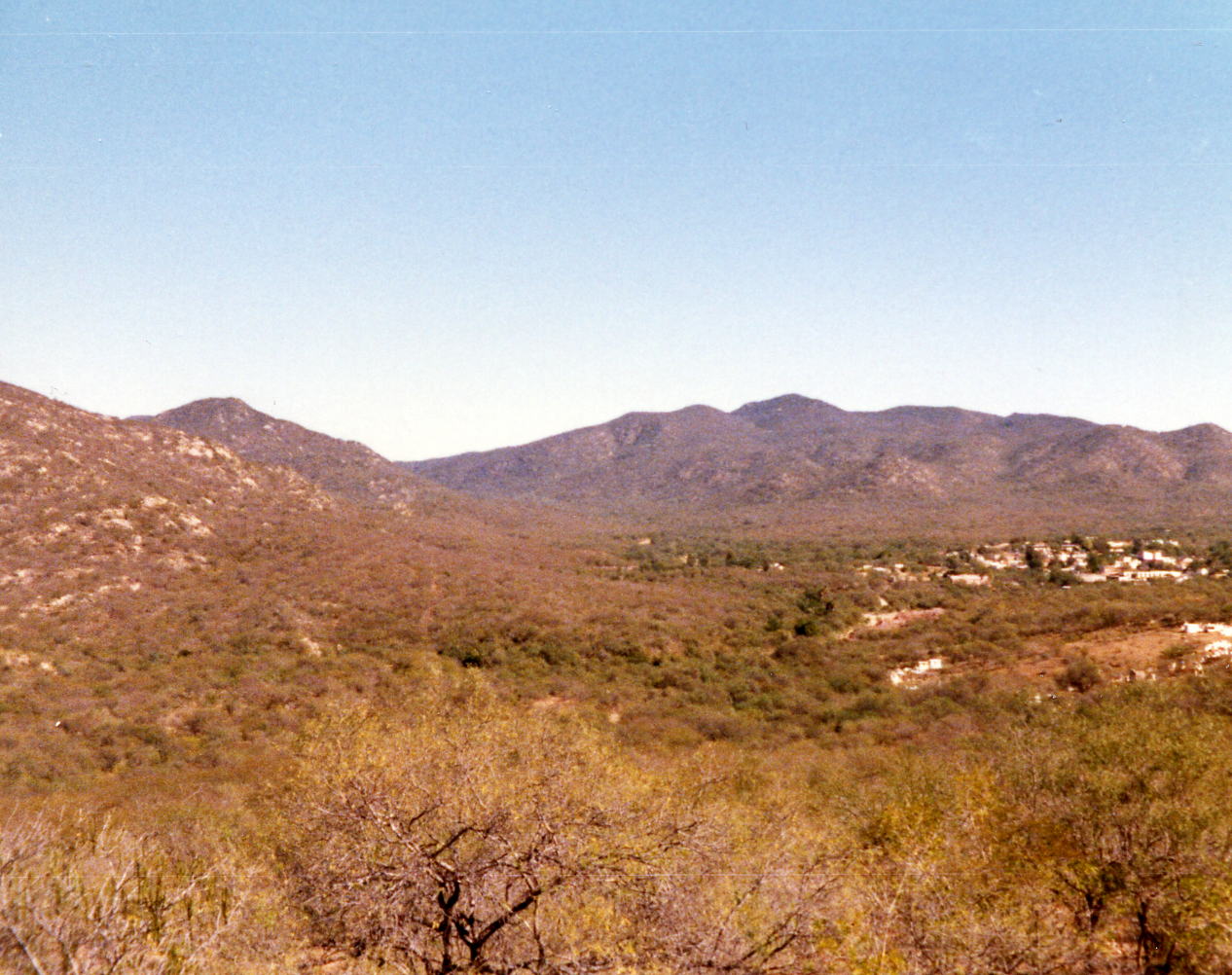
 These four pictures are of the Sierra de la Laguna, the most interesting mountains that we rode through.
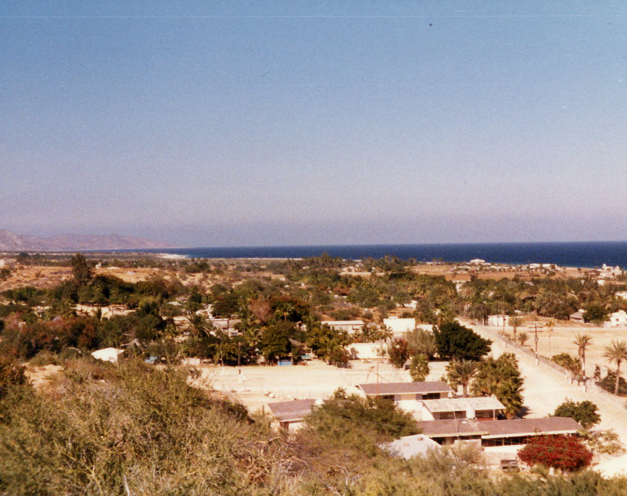
 These first two pictures are of the town/village of Buena Vista.
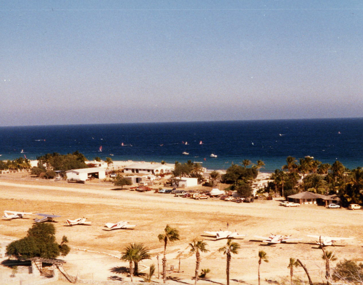
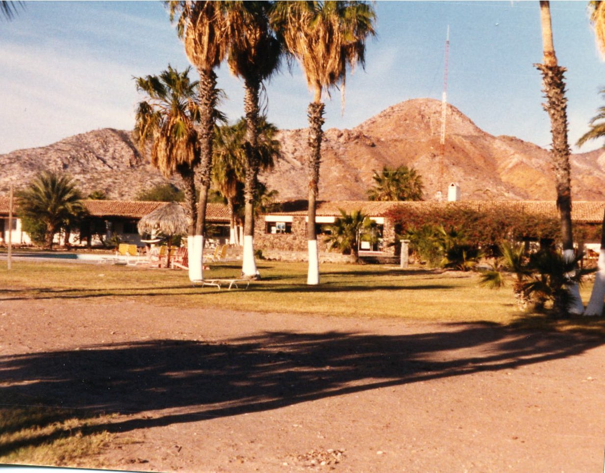
 The next two are of the Rancho Buena Vista Resort area where we stayed the night. As you can see the resort has a lot of it's guest fly in for charter boat fishing.
1 Jan: Buena Vista to San Jose del Cabo, B.C. Sur, Mexico
Distance: 48.30 miles
Time/Speed: 3:23/14.3 mph
This was a short day with more villages and traffic than usual but I can't think of anything special about it. The Aquamarina Hotel did not leave any fond memories either although I do have a picture of my room.

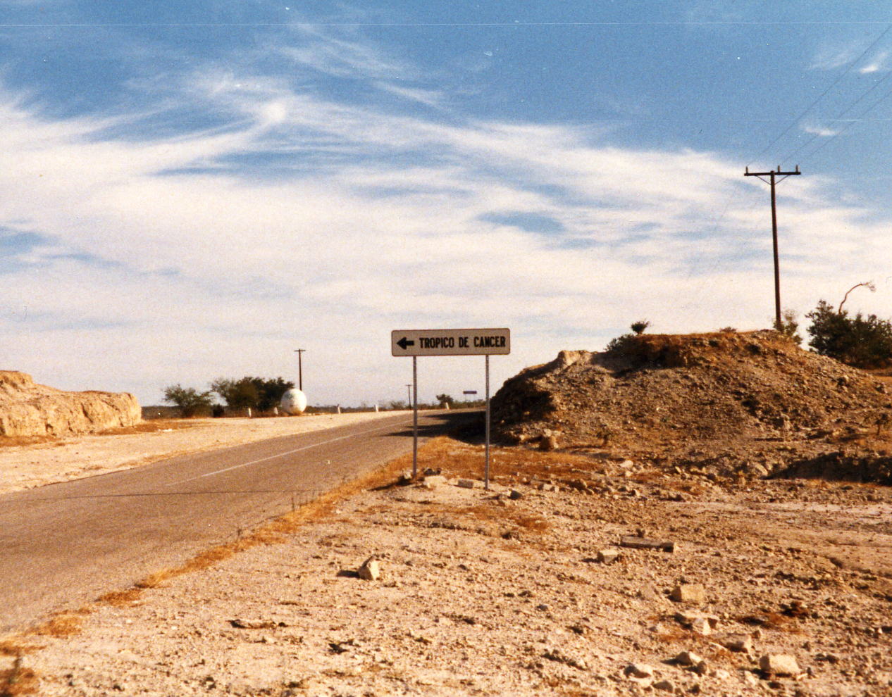
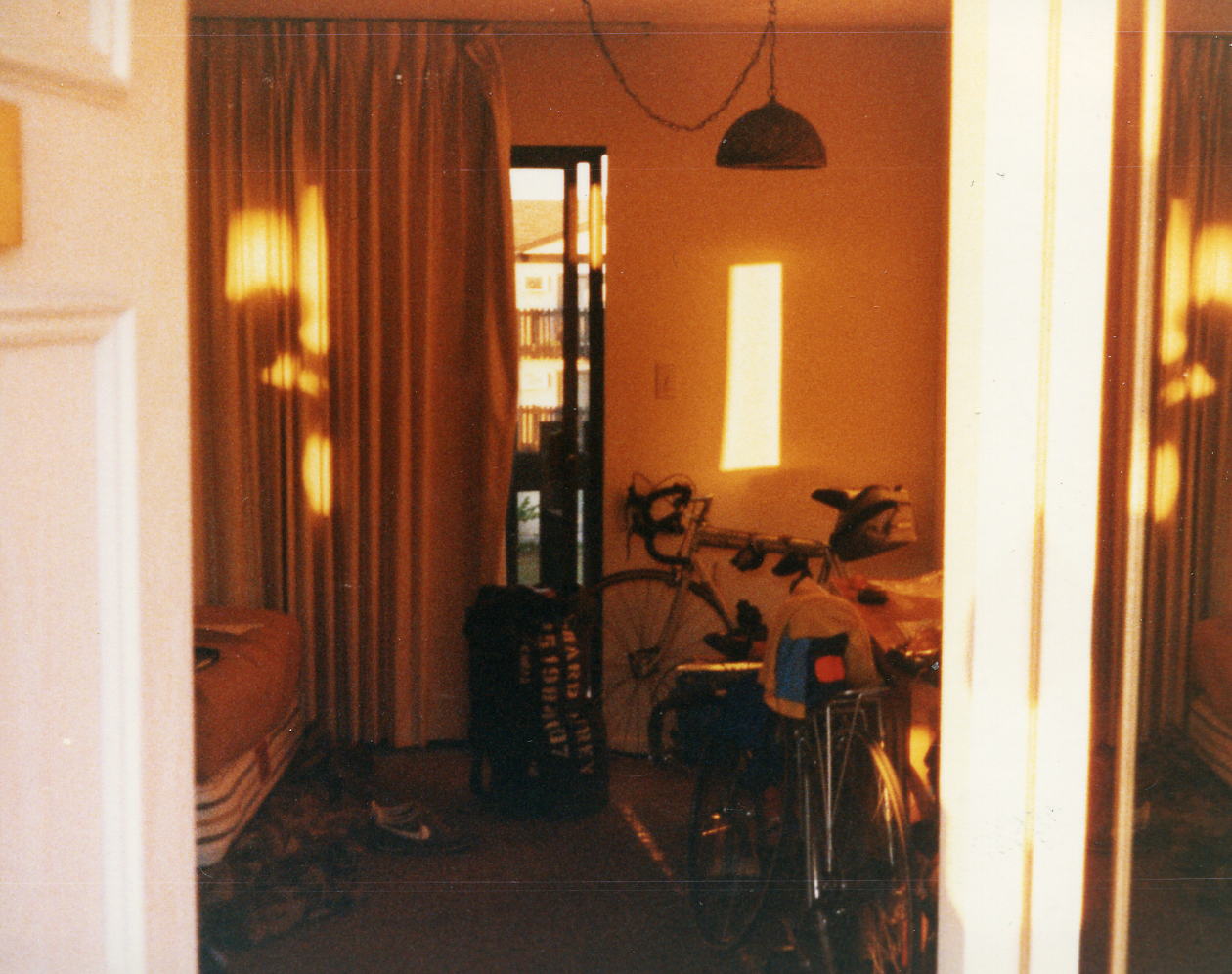 Two pictures on the way to San Jose del Cabo, flater riding but still with scenic mountains in the distance. Here I am about to cross the Tropic of Cancer at 23 degrees 27 minutes north latitude; I thought it would be at 22 degrees 30 minutes but I looked it up. This is my room at the Aquamarina, nothing much but better than some on this trip.
2 Jan: San Jose del Cabo to Cabo San Lucas, B.C. Sur, Mexico
Distance: 20.42 miles
Time/Speed: 1:27/14.1 mph
This was a warm up ride before breakfast. Although I think I did stay for breakfast this morning and then had all the time in the world to make it to lunch at the pool in the Hotel Finnesterra where we stayed the next two nights. The Finnesterra was up to Backroads standards and a proper way to end the trip. I did a short walk up to the town of Cabo San Lucas which at that time was not much of a town and then along the beach cliffs for some pictures.
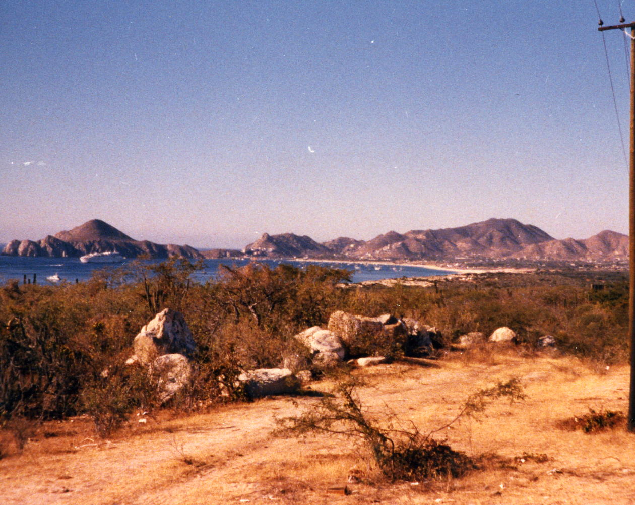
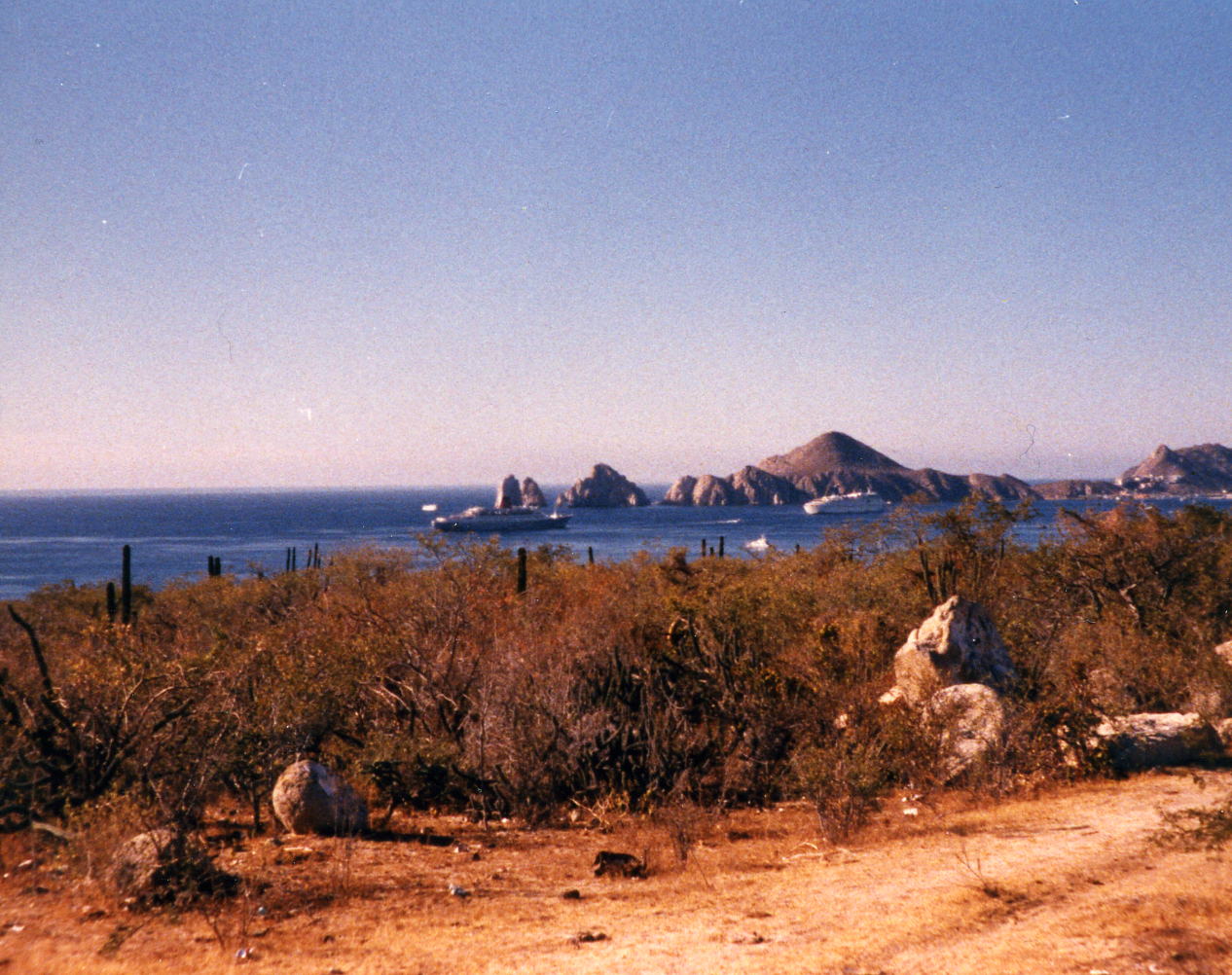
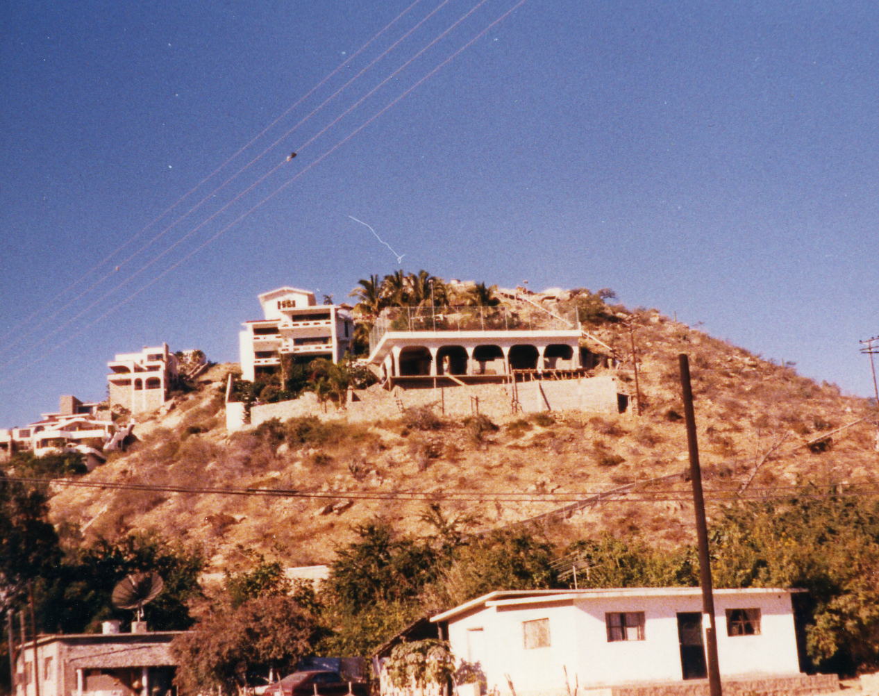 Two pictures of Bahia San Lucas to the east. Then two pictures of the Bahia to the west with a cruise ship in the first one, two ships in the second in front of Lands End. This is part of the town, the resorts are all down closer to the water with many of them on cliff edges.
3 Jan: Cabo San Lucas, B.C. Sur, Mexico
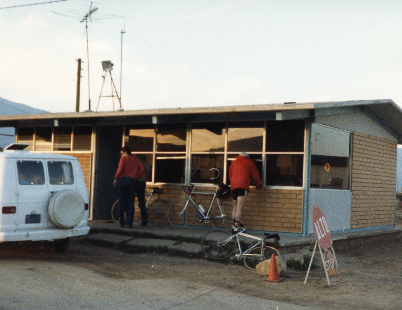
A rest day in Cabo. I took a few pictures but was not feeling very good and spent most of the afternoon in bed; I don't remember going to the tour-end dinner and think that I stayed in bed.
4 Jan: Cabo San Lucas to San Jose del Cabo Airport, B.C. Sur, Mexico
Today was simply a shuttle back to the regional airport to catch my flight back to Las Angles, CA and then an airport shuttle home in Upland, CA. The only interesting thing that I remember was seeing my bicycle lying on the runway as I peered out the window; the only requirement that they had about my bike was to let the air out of the tires and they then loaded it last (probably the best care any of my bikes ever had).
Epilogue: The Baja Tour went well all in all and I decided to act on Ed Stiles recommendation and do the TranTexas Tour in the fall. I took my bike in to have it looked over and 'serviced' after I got back and the shop discovered one of the drop-outs was cracked. It was a Schwinn Sport if I remember correctly and Schwinn gave me a new frame under warranty with no hassle what-so-ever. My wife, now ex-wife, served me with separation/divorce papers on March 21, 1987; there never was any marital conflict regarding my bicycling and she never did object to my traveling but when we traveled together she never enjoyed the trips.