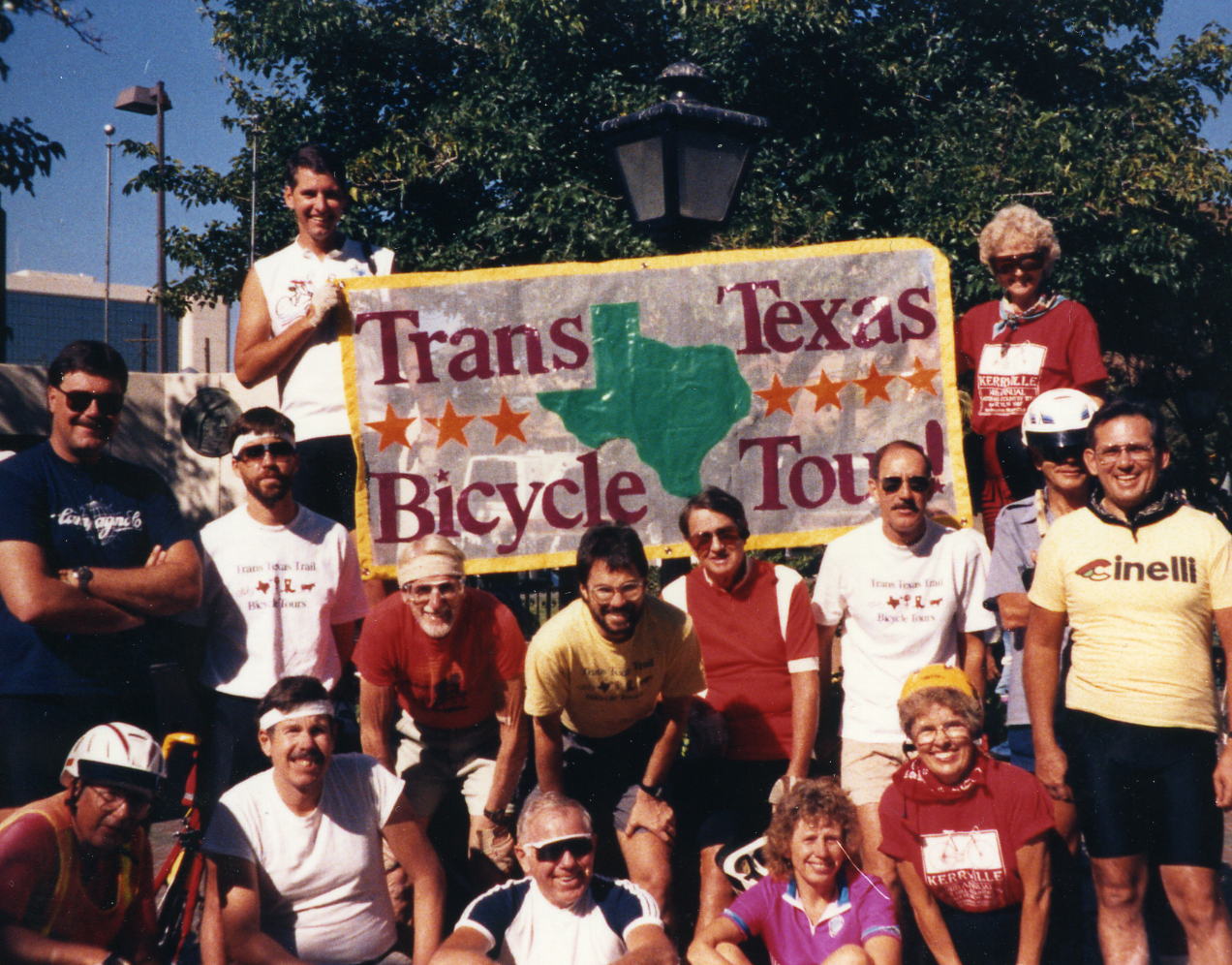
Trans Texas Tour
El Paso to Orange, TX
3 - 25 October 1987
1,055.5 Miles

Total Tour

Once again I have no journal for this trip but I did take some pictures and did still have the very detailed itinerary that I used to write a journal for this site and give me a platform for the pictures.
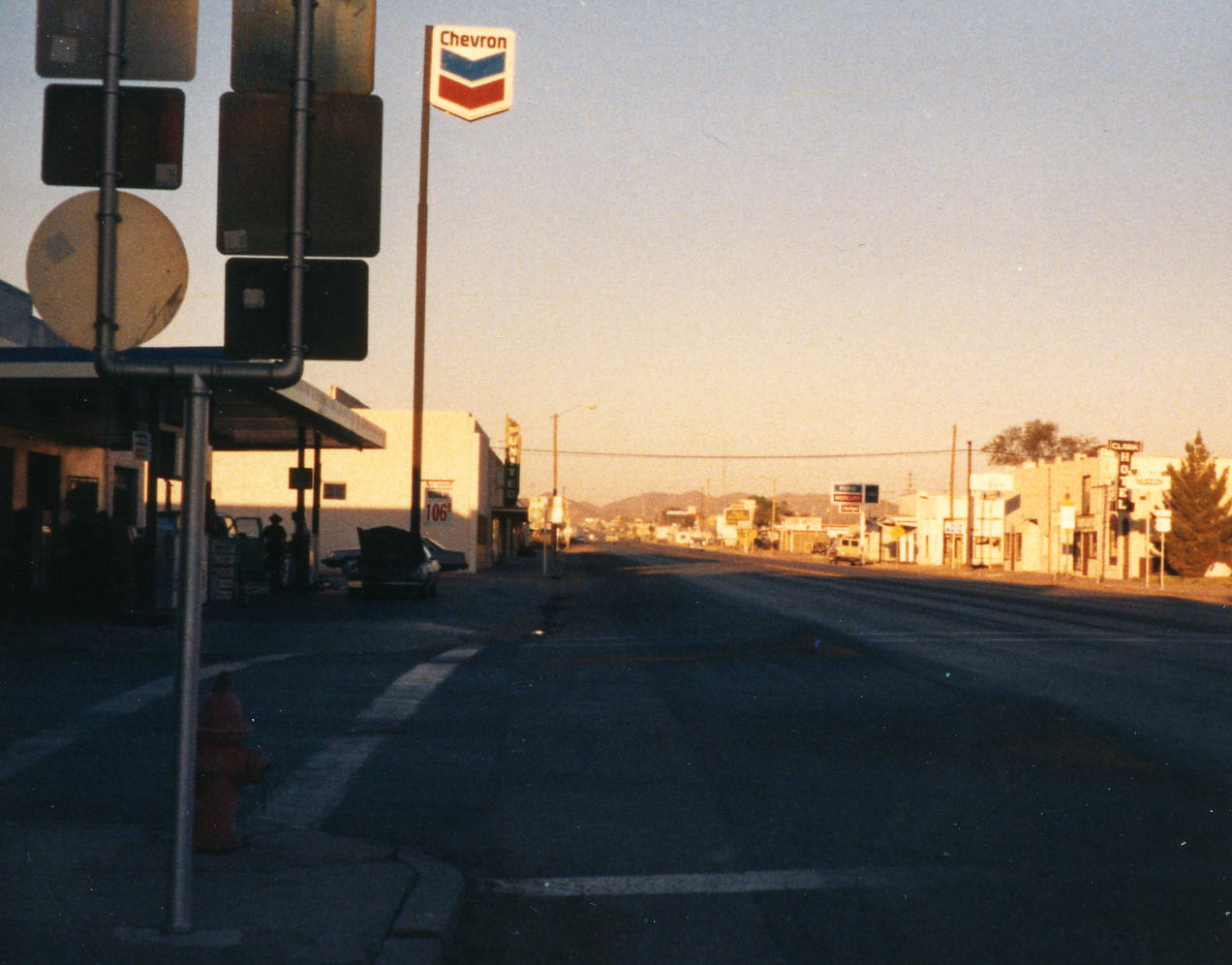
3 Oct: El Paso, TX
I am reasonably sure that I arrived in El Paso, TX today but do not recollect what I might have done other than get to the hotel, unpack and get my bike ready. I vaguely remember walking across the border to Juarez for dinner but I'm not certain of it. I was in The Plaza Hotel for the next two nights.
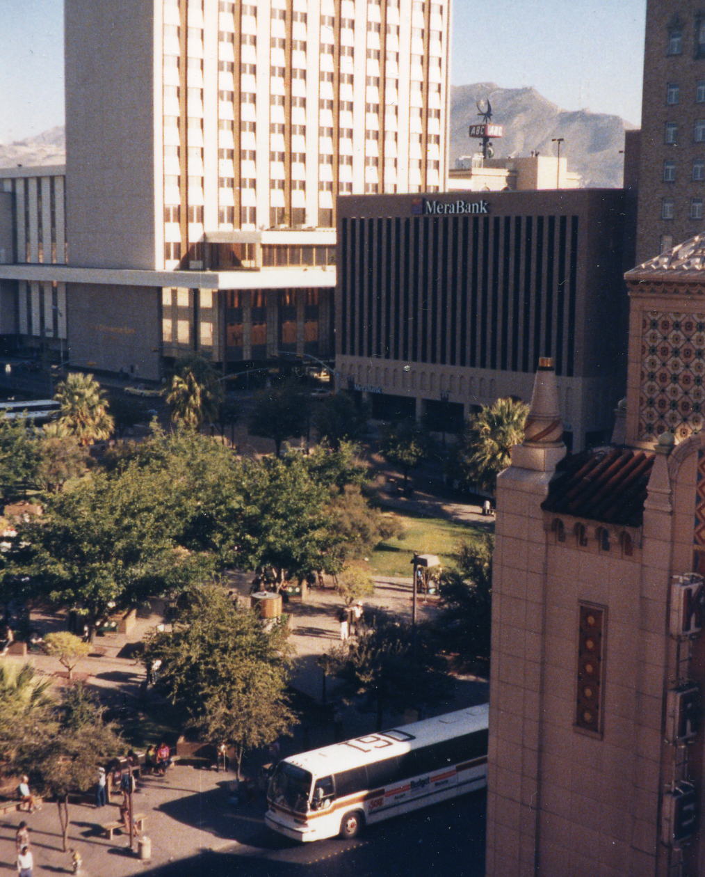 This is looking down on The Plaza from my hotel room.
4 Oct: El Paso, TX
Distance: 32.9 miles I do remember doing what the itinerary described as a tri-border ride (TX, NM & Mexico) with the El Paso Bicycling Club that started at the Plaza in front of the hotel. I recorded the mileage for this ride but was not consistent in doing so for the entire tour. I'll use the itinerary mileage for the tour as I did for the Grand Canyon to Mexico ride.
5 Oct: El Paso to Ft. Hancock, TX
Roads:San Jacinto Plaza, E. Mills Av, N. Mesa St/TX-20, E San Antonio Av, S St Vrain St, Delta Dr, Alameda Av/TX-20, S. Old Pueblo Dr, Socorro Rd/Farm Road-528 & Spur TX-148
Distance: 52.5 miles
Camp: Ft. Hancock High School
Route
I have not provided detail maps for El Paso but the road descriptions that I have given above were provided on our trip sheet for the day. A more straightforward route would be to take TX-20 all the way from downtown to Ft. Hancock. This routing took us past Ysleta del Sur Mission, Socorro Mission and the ruins of Acala, TX.

6 Oct: Ft. Hancock to Van Horn, TX
Roads: Spur TX-148, TX-20, Farm Road 192, Farm Road 34, I-10 (2.2 miles), Frontage Road (10.0 miles), I-10 (5.6 miles), Frontage Road (20.4 miles), I-10 (11.5 miles) & Bus 80
Distance: 71.4 miles
Camp: Best Western Inn
Route
This was my first experience with extended Interstate Highway riding and I found it to be as good or better than some narrow roads with a lot of traffic. I got used to the Interstate traffic blasting by me at 80 mph and it was only the occasional big truck that gave me a wind blast that upset the zen-like state that I get into.
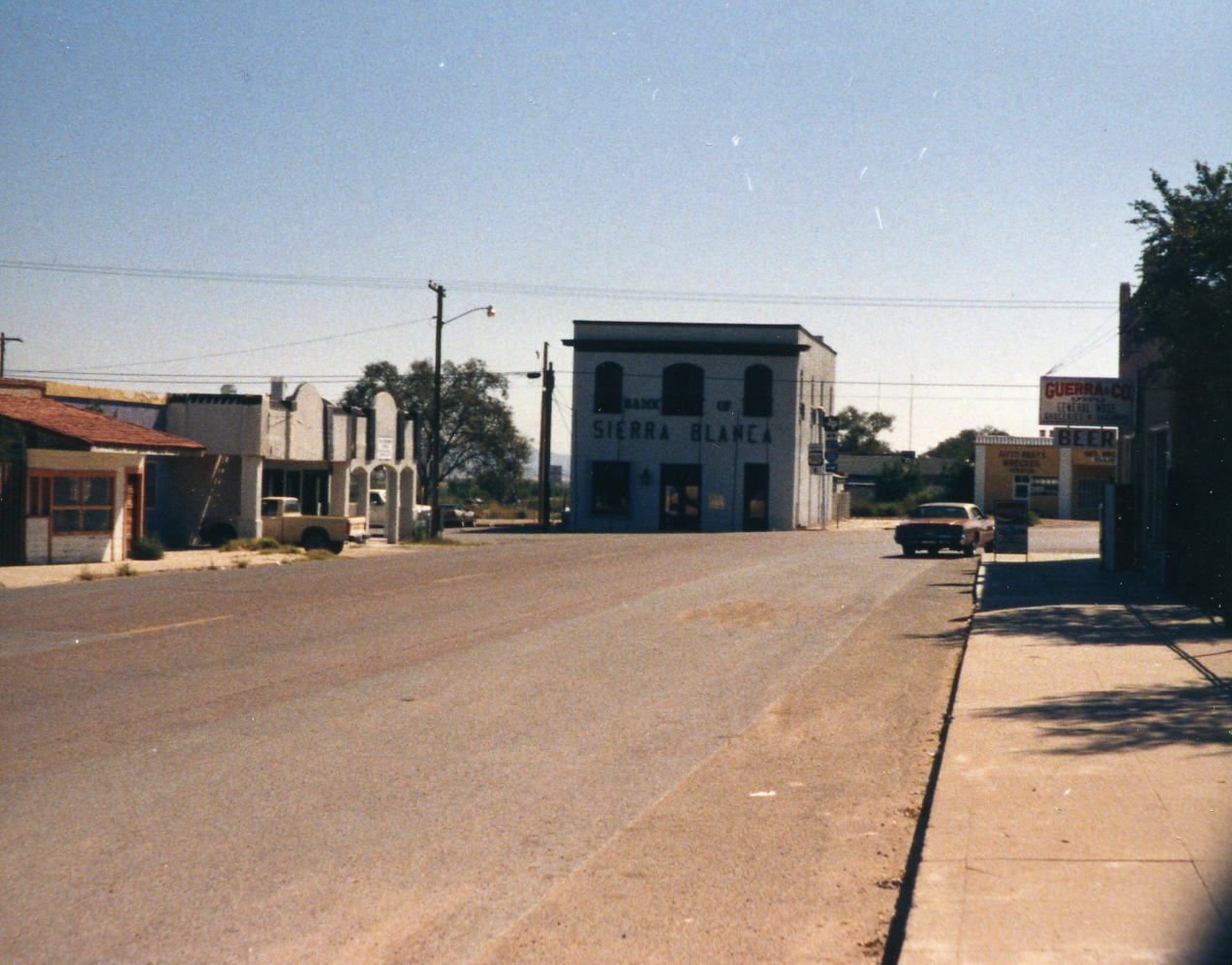
 About the mid-point of the days ride was Sierra Blanca, TX. Then at the end of the ride was Van Horn; I thought Sierra Blanca had more 'character'.
7 Oct: Van Horn to Madera Canyon, TX
Roads: Bus 80, Frontage Road, @ 20.6 miles I-10, (16.6 miles) & TX-118 Distance: 65.7 miles
Camp: Madera Canyon (Lawerence E. Wood) Picnic Area
Route
I don't remember much about this day and/or have it combined with the next day. I have not been able to find Lawrence E Wood Picnic Area but the Madera Canyon Roadside Park is at the right location. Don't remember anything about this camp.
8 Oct: Madera Canyon to Davis Mountain State Park, TX
Roads: Tx-118, Spur 78 & TX-118
Distance: 24.6 miles
Camp: Davis Mountain State Park
Route
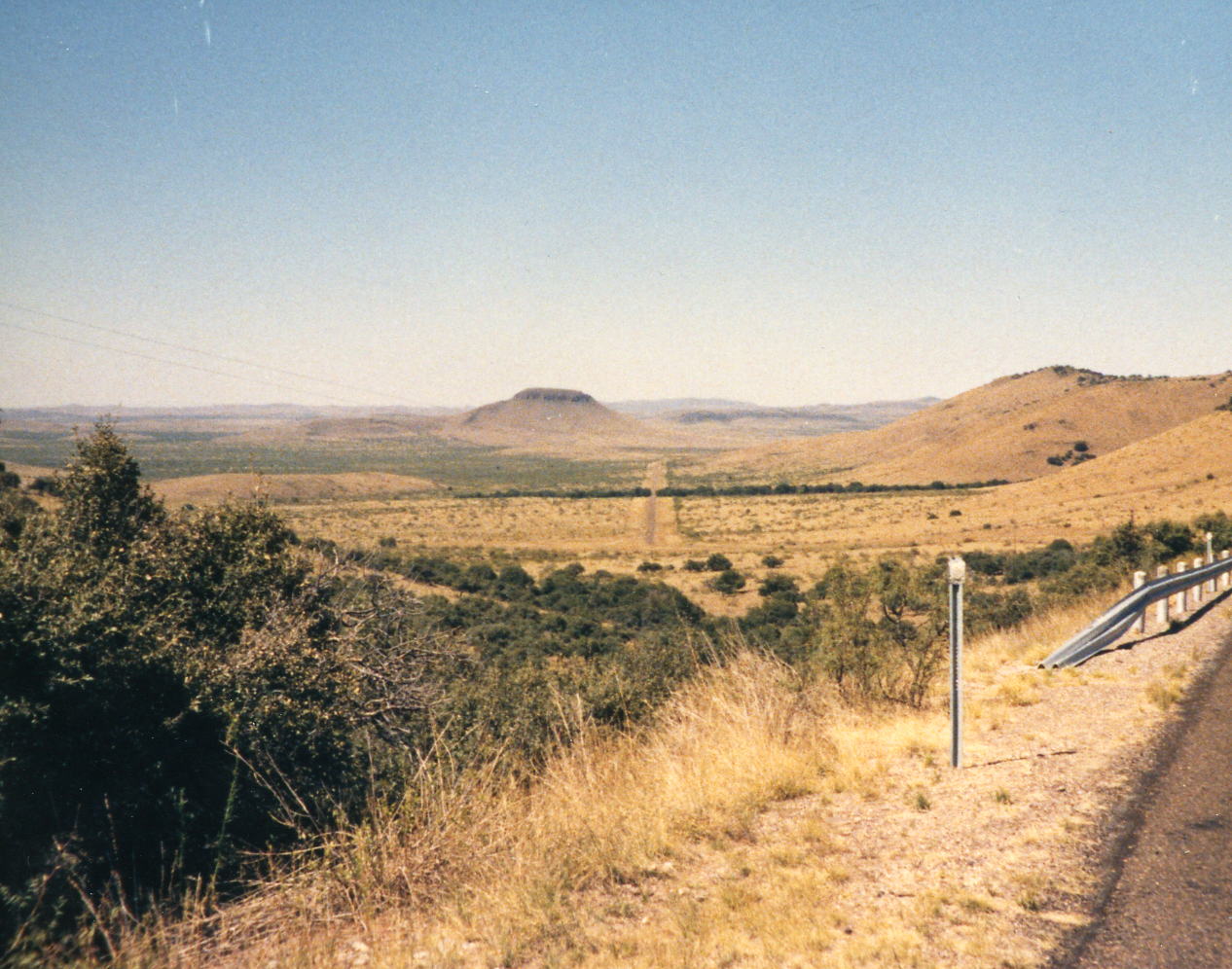
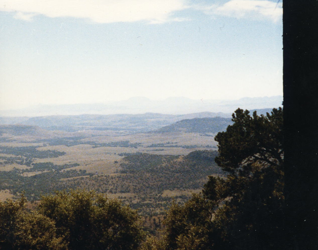
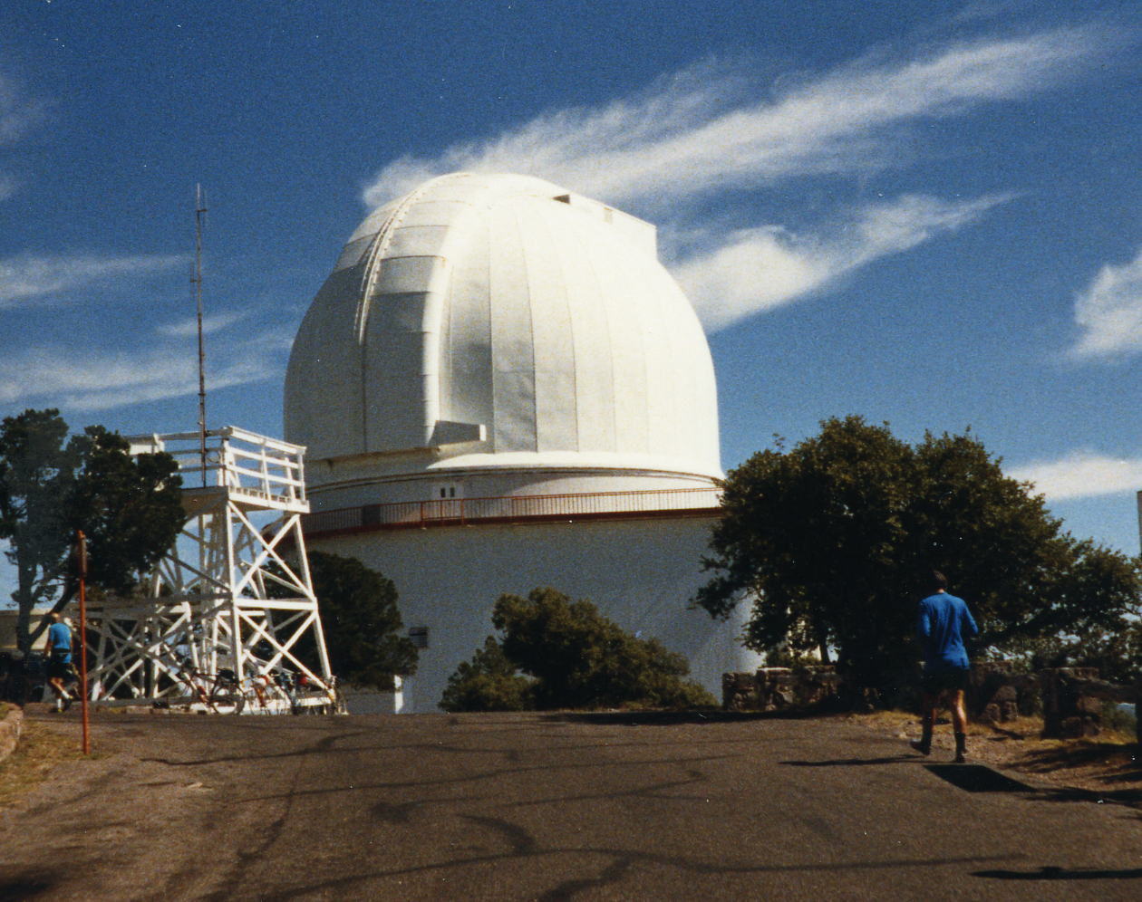
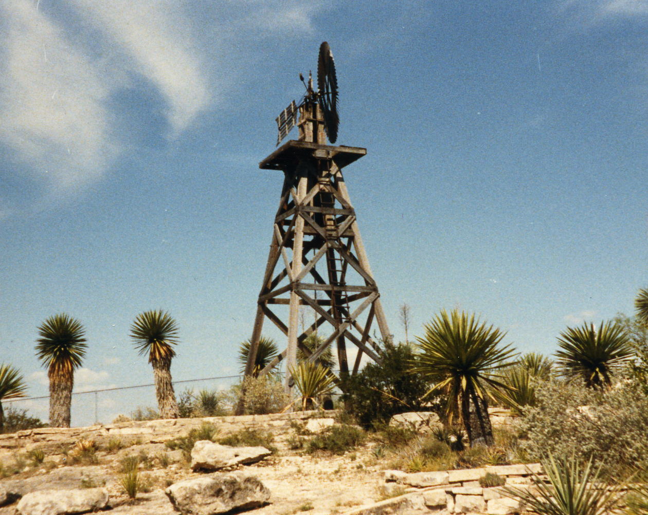
Today we climbed the highest road in Texas to the McDonald Observatory atop Mt. Locke. Then there was a nice downhill from there on a very short day. Last night one of my gold crowns came off a rear molar as it has done a few times in the past. Now I have the problem of getting it fixed while out here in the wide open spaces of West Texas. The tour organizer said there was a dentist in Ft. Davis that should be able to glue it back for me - I'll stop in the morning.
9 Oct: Davis Mountain State Park to Marathon, TX
Roads: TX-118 & US 90
Distance: 56.6 miles
Camp: Gage Hotel
Route
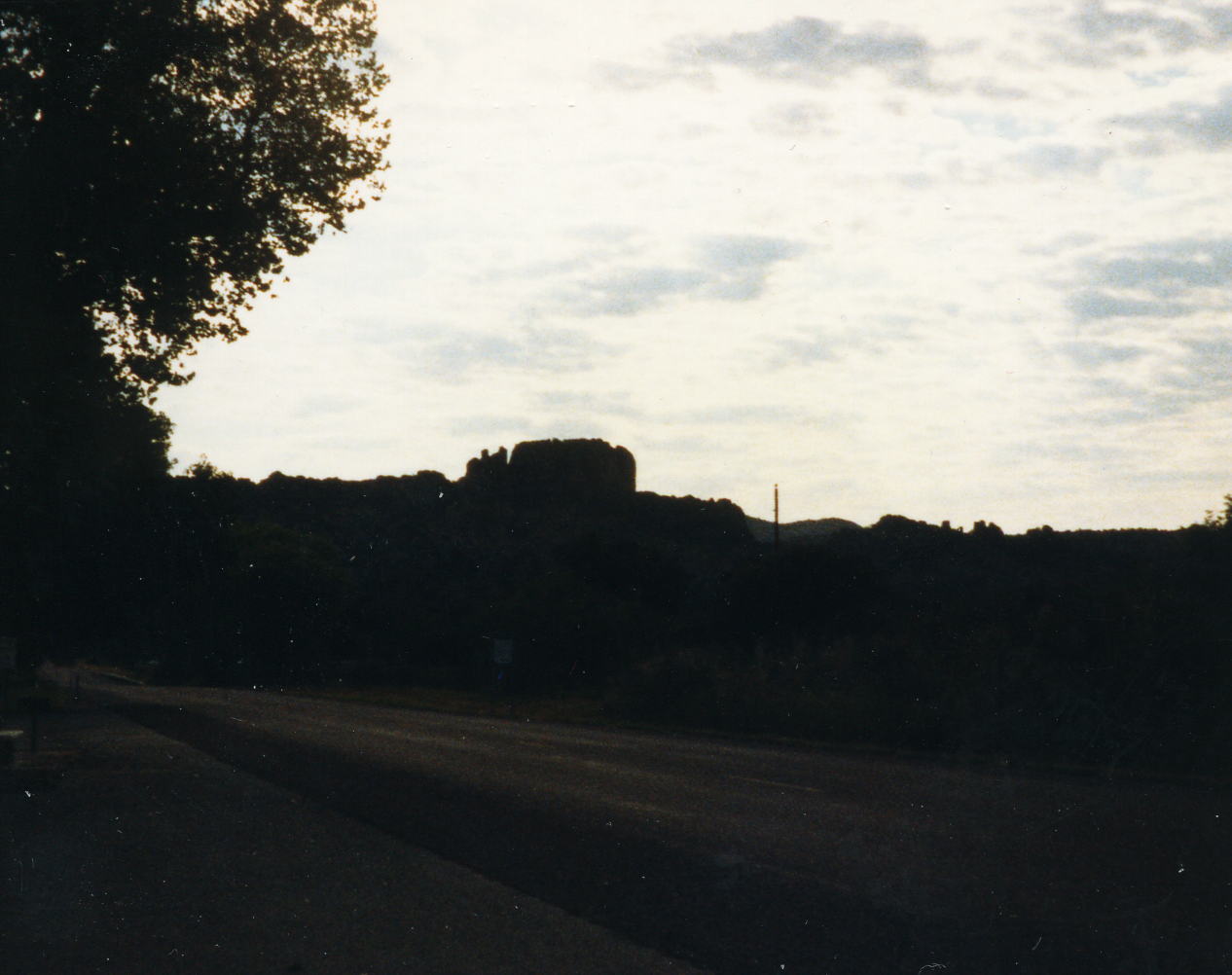
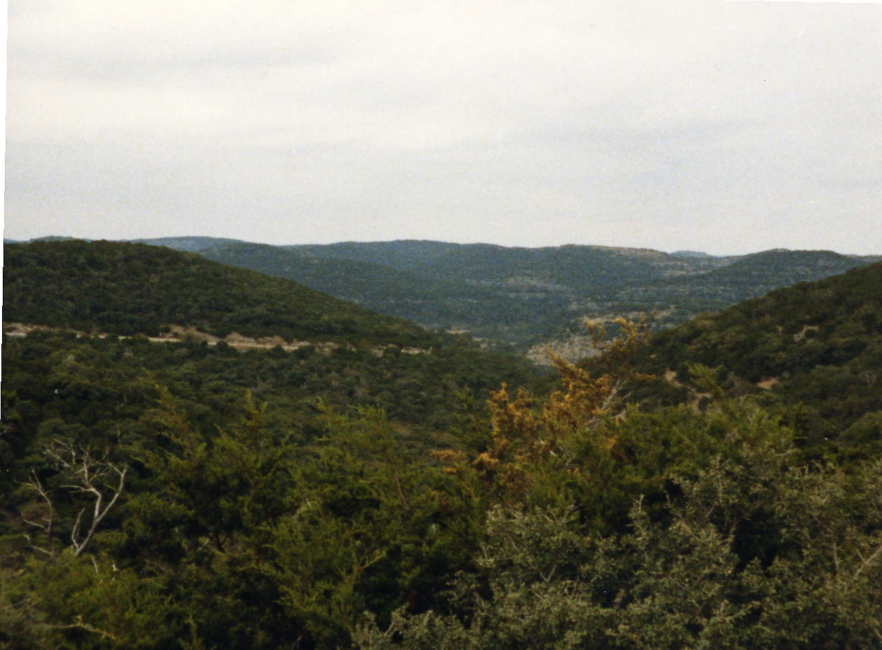
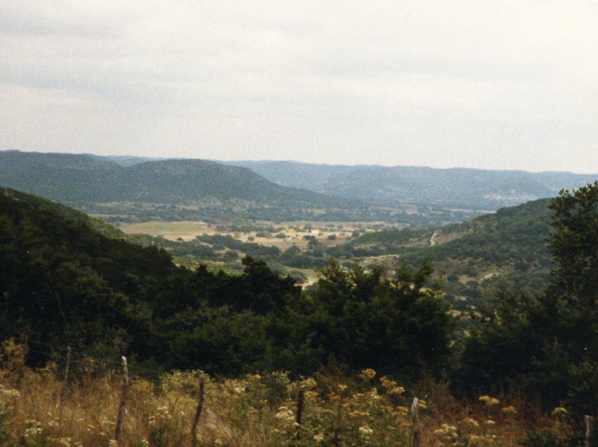
I was at the dentist office about 15 minutes before he opened at 8:00 and got some pictures of Ft. Davis. When he showed up he was dressed like some rancher that had come in to see the dentist but then I found out he was the dentist! I told him my problem, he fixed it, charged me less than my dentist and I was on the road by 8:15. Very nice mountain scenery until Alpine, TX then it became flat as the plains of Marathon, Greece; where the name for the Texas town came from. The Gage Hotel had been restored to it's late 1800s splendor and also served some very fine meals.
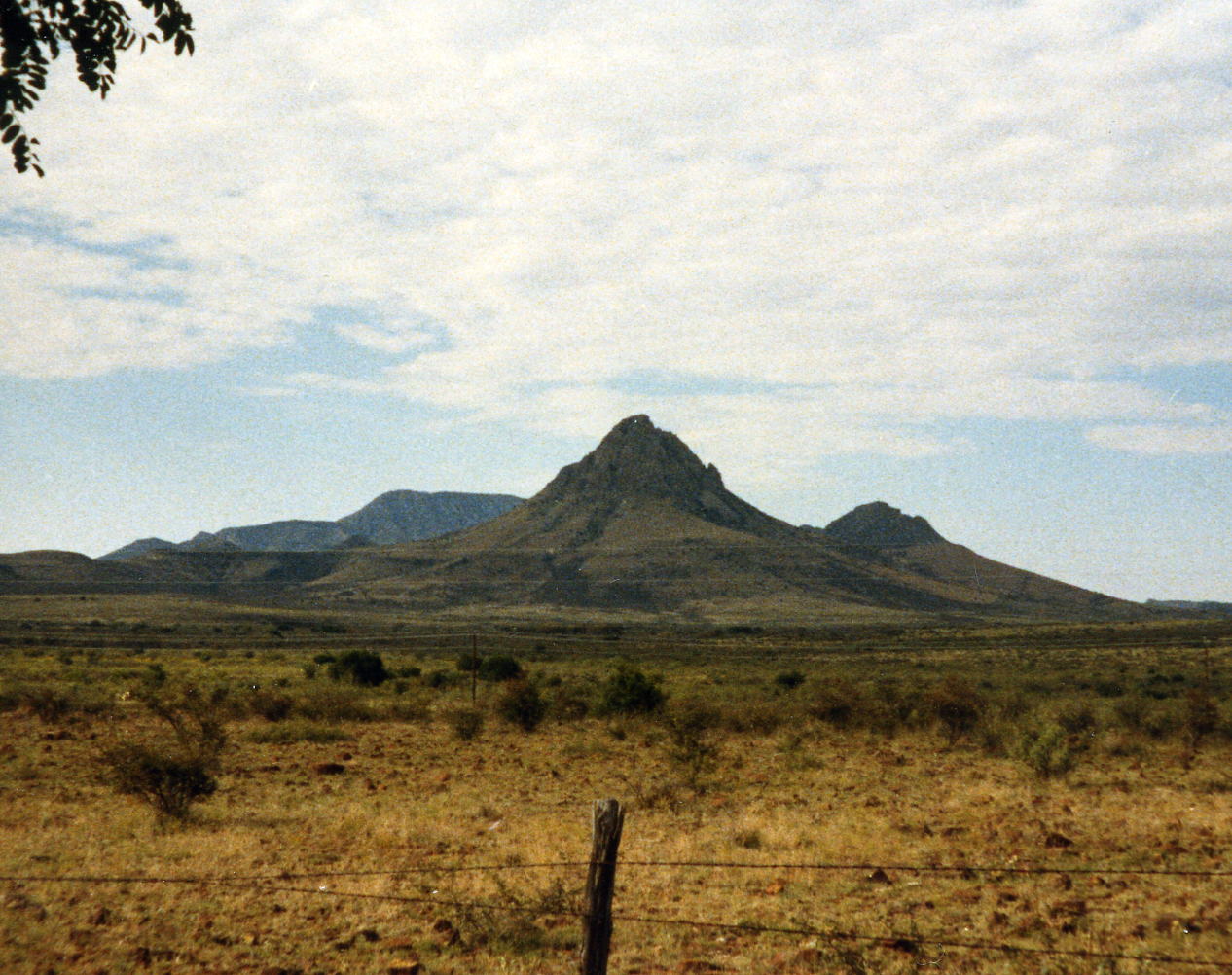
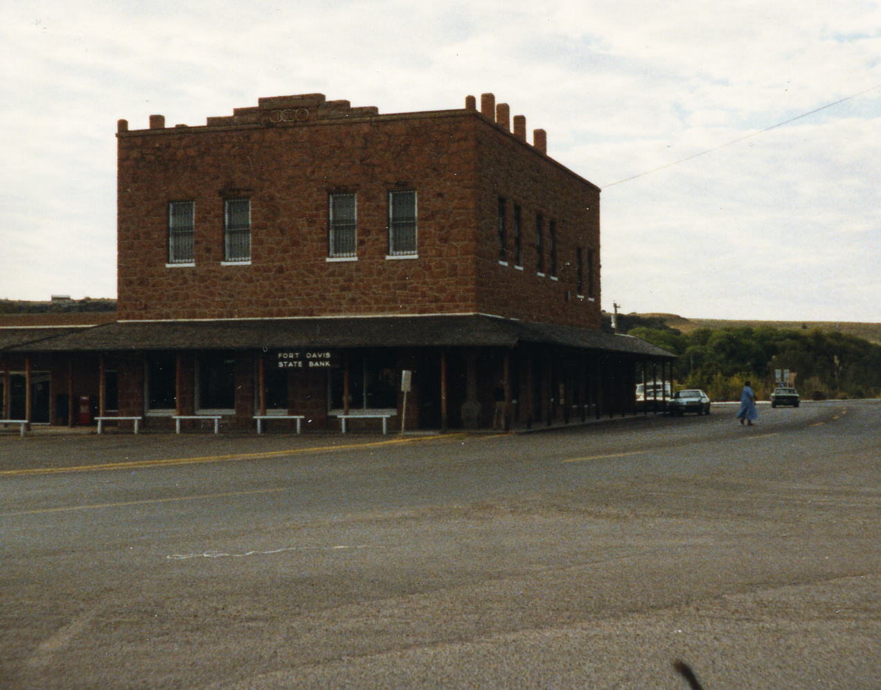 The three top pictures are of the mountains between Fort Davis and Alpine, TX. There is a lot of new development around the town that seems to be growing as a retirement area. The two pictures in the second row are of old town Fort Davis, TX.
 10 Oct: Marathon to Sanderson, TX
Roads: US 90 Distance: 52.5 miles
Camp: Desert Air Motel
Route
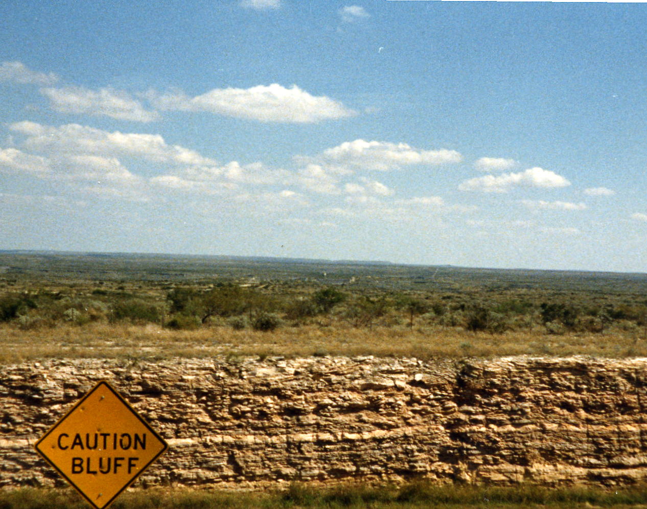
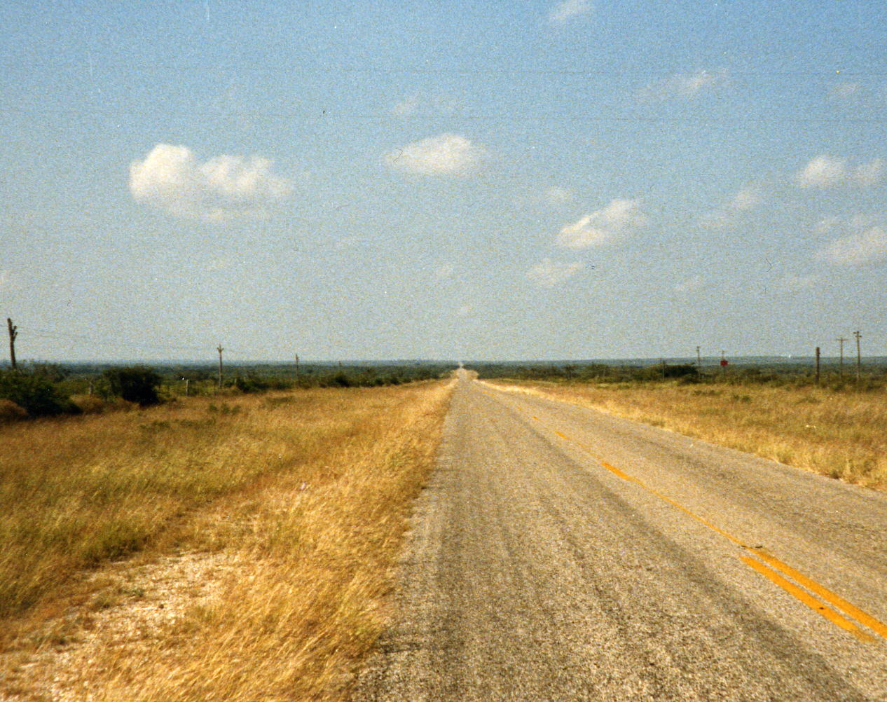
This day can be summed up from the itinerary: @ 3.8 miles - shade trees (next shade trees @ Sanderson). A long flat dry stretch of road with a store not quite half way to break up the day.
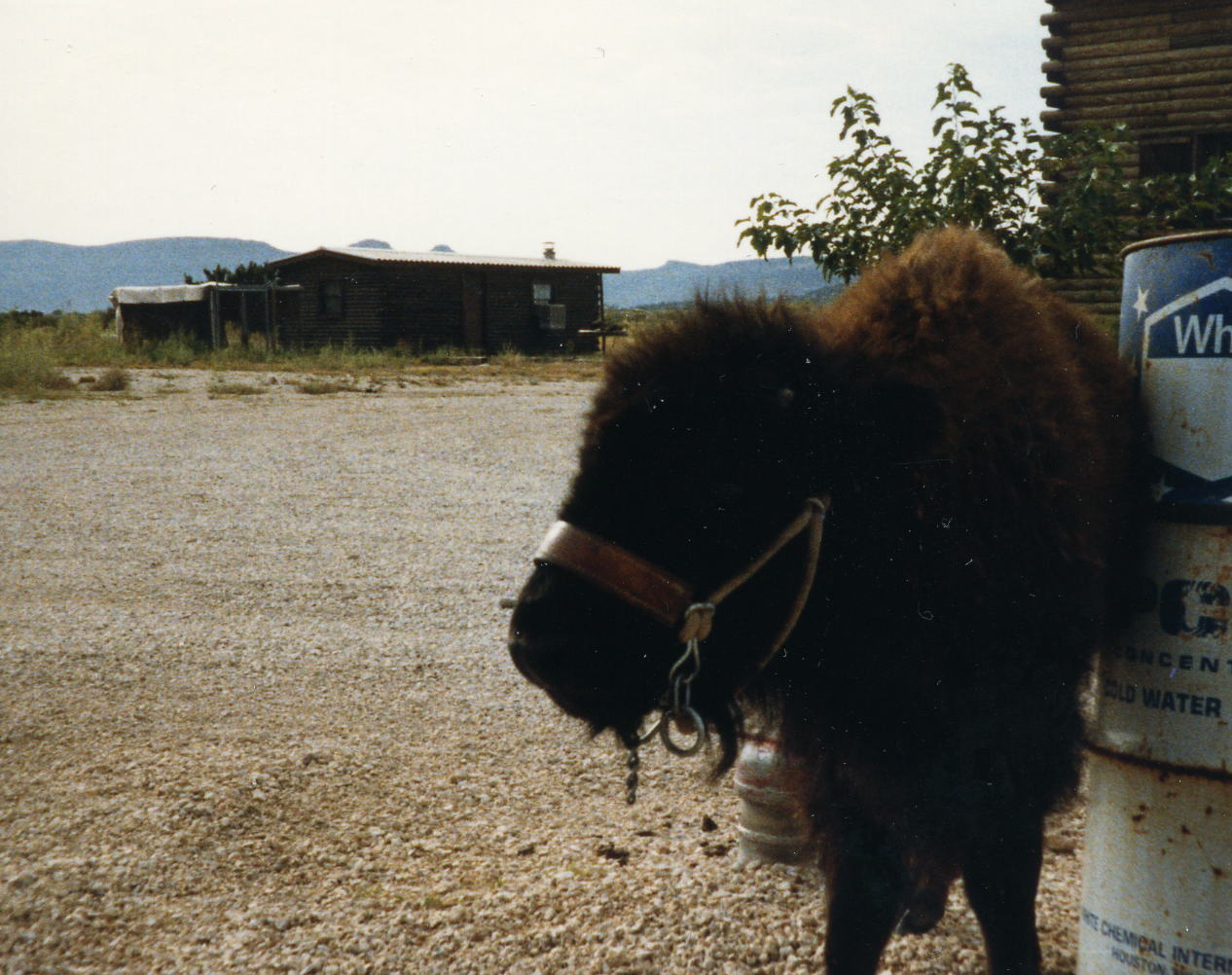
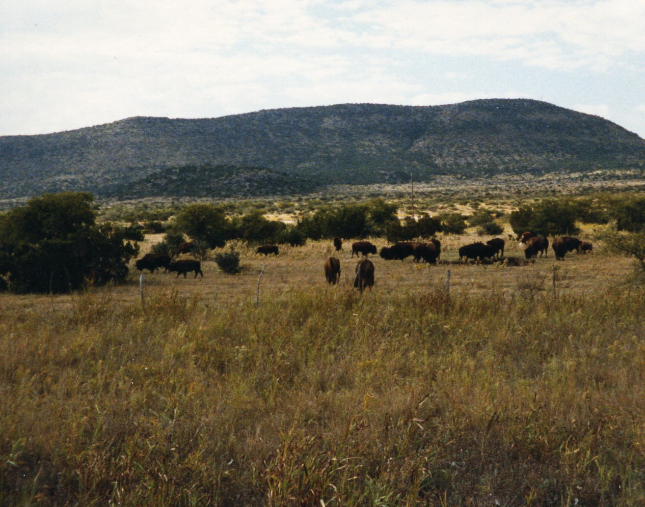 A buffalo calf tied up outside the store at Housetop Mountains about mid-way through todays ride. The second picture shows the rest of the herd.
11 Oct: Sanderson to Seminole Canyon State Historical Park, TX
Roads: US 90, TX-25 Loop, US 90 & Park Road 67
Distance: 79.6 miles
Camp: Seminole Canyon State Historical Park
Route
I don't remember anything about this day and don't have any pictures; it seems that it was just an 80 mile ride across West Texas. I do remember enjoying this part of the state; the weather was good, traffic was light and you could ride along and let your mind just kind of shut down.
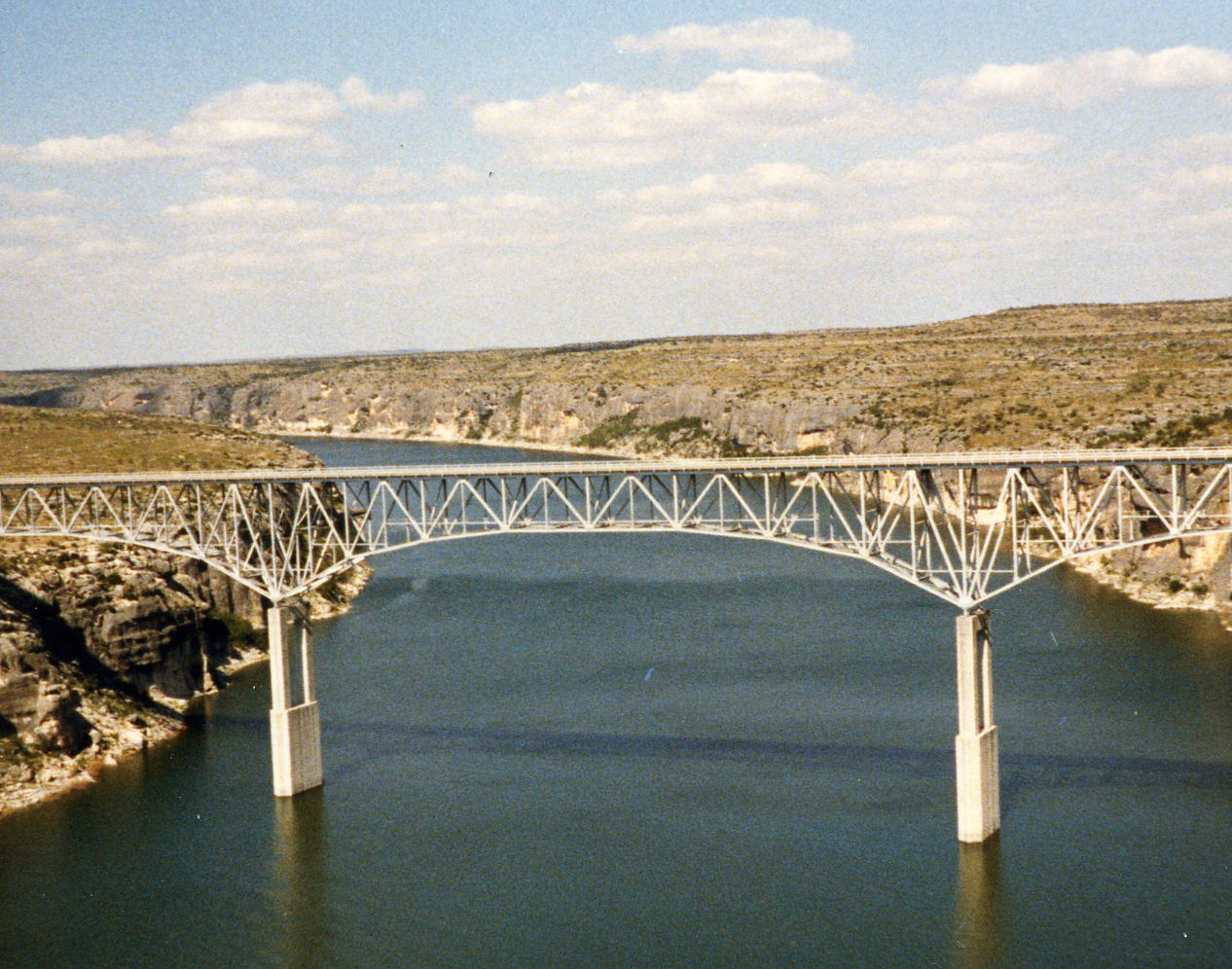
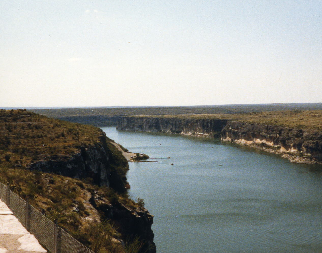
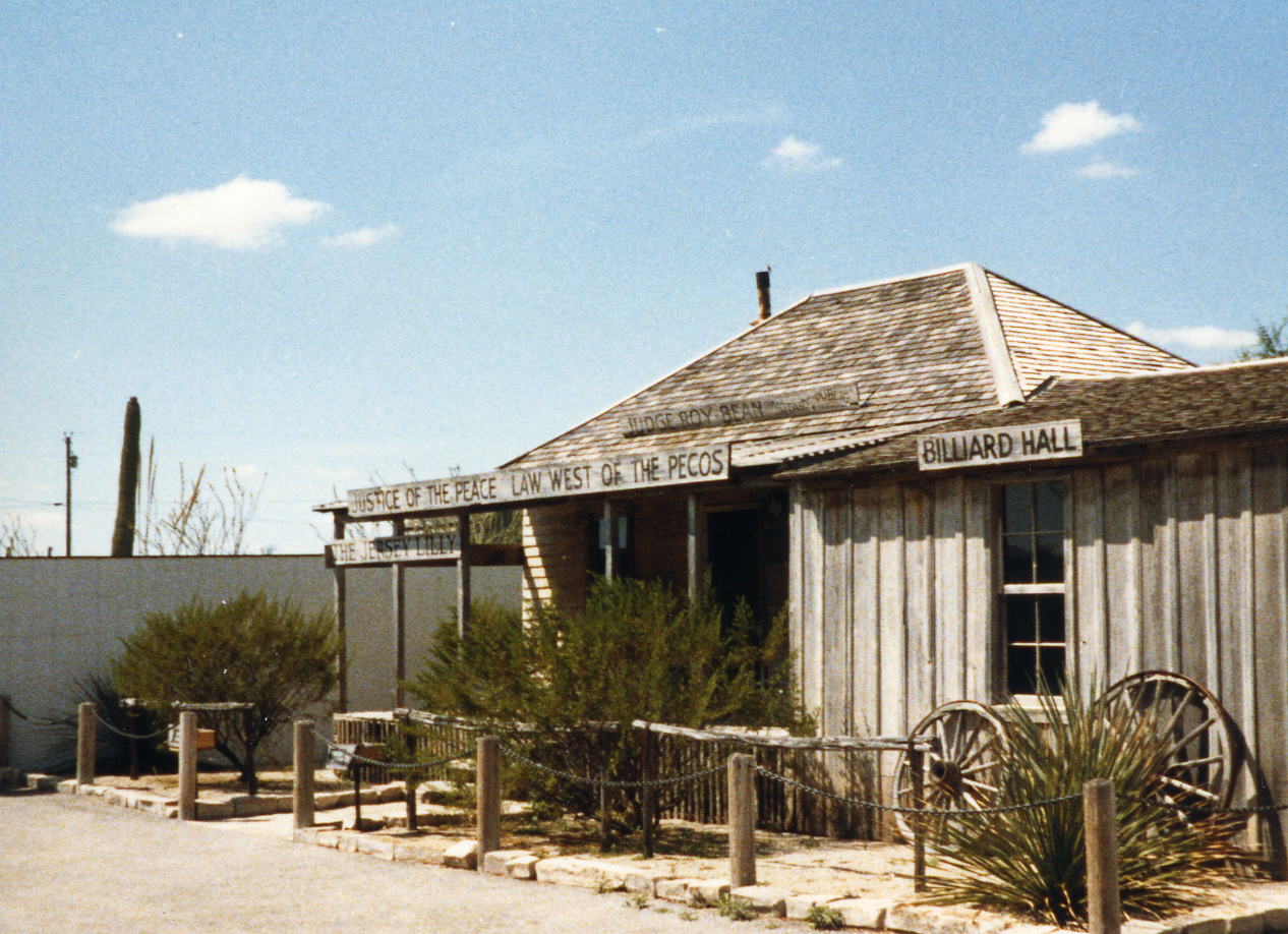
 The first three pictures above are of the Pecos River and these two are of Langtry, TX the home of Judge Roy Bean and 'Law West of the Pecos'.
12 Oct: Seminole Canyon State Historical Park to Del Rio, TX
Roads: Park Road 67 & US 90
Distance: 39.2 miles
Camp: Desert(Now Cielito) Hills Motel
Route
A short day into Del Rio. I don't think I did anything but lounge around for most of the day. I do remember that we went into Ciudad Acuna, Mexico and had dinner at Ma Crosby's (Now Closed).
13 Oct: Del Rio, TX
Roads: None
Distance: None
Camp: Desert(Now Cielito) Hills Motel
I don't remember doing anything on this our first rest day except rest and probably did laundry .
14 Oct: Del Rio to Camp Wood, TX
Roads: US 90, Farm Road 334/674, Farm Road 334 & TX-55
Distance: 75.3 miles
Camp: Lake Nueces/Wes Cooksey Park
Route
The early part of this ride was a lot like the 11th, flat open West Texas land for as far as you can see. Started to see some trees and slight hills by the time we got to Camp Wood.
 I think this is Farm Road 334 between Brackettville, TX and TX-55. However, a lot of the roads have looked like this in West Texas and I like them this way!
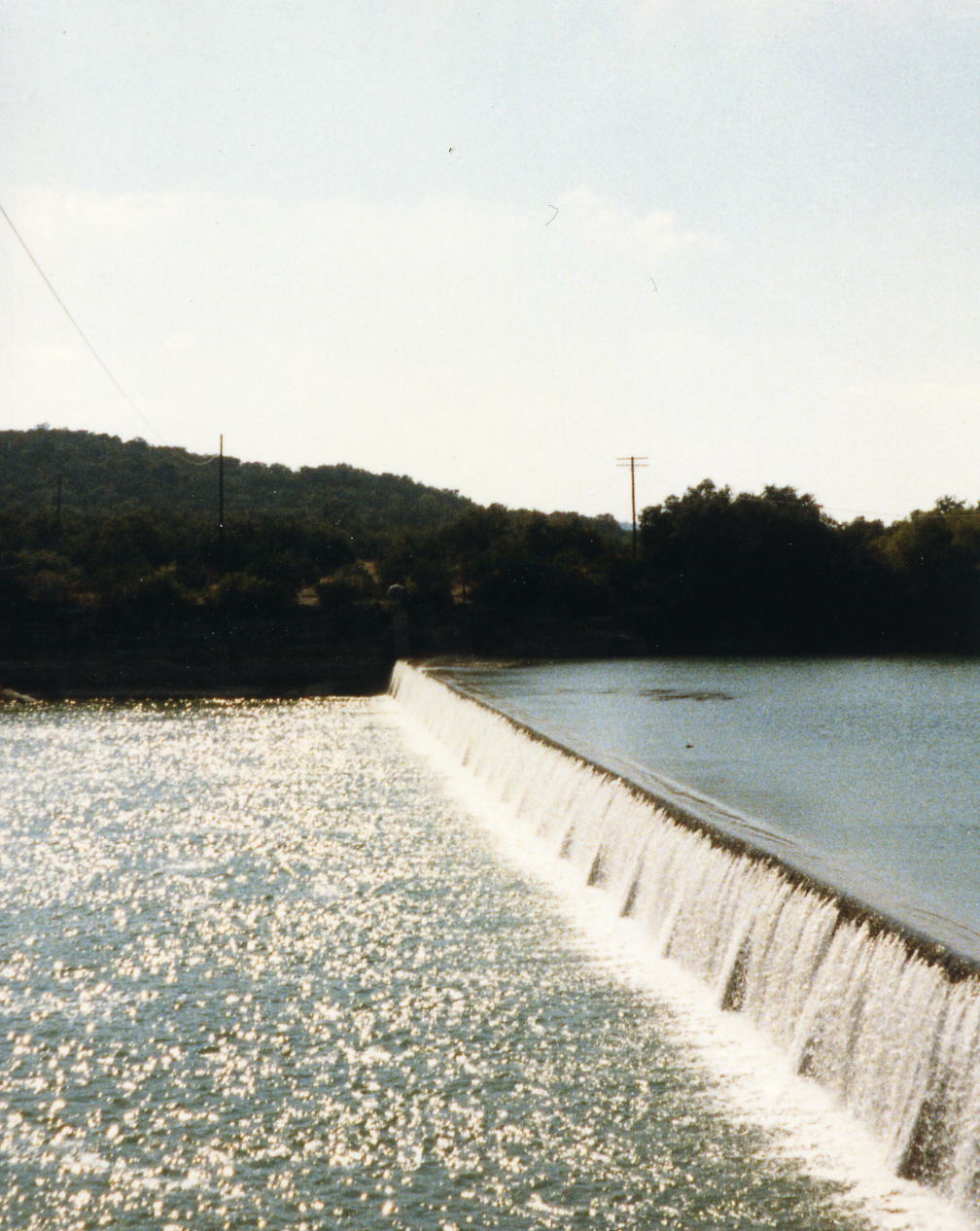
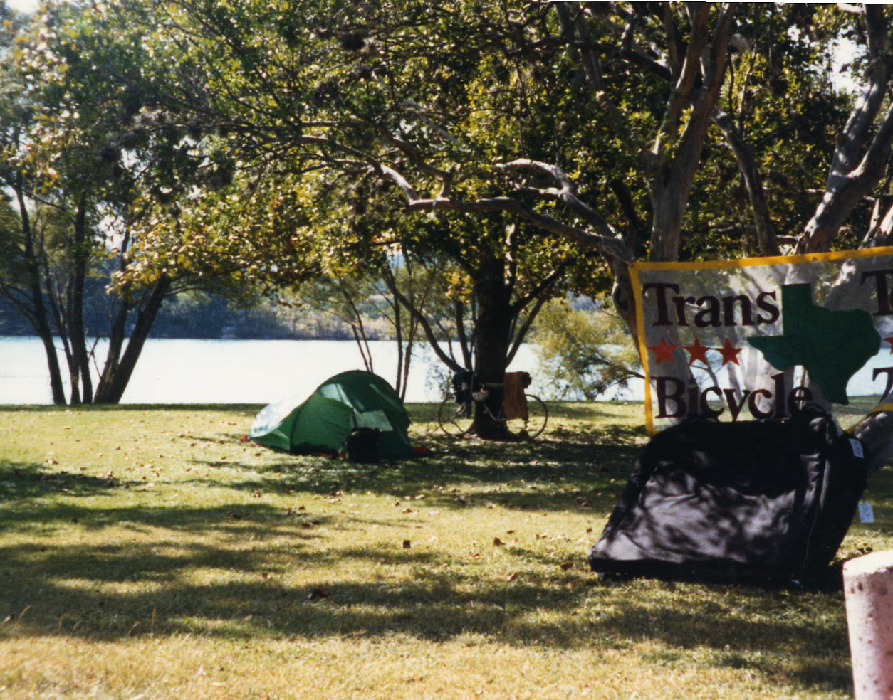 Two pictures at our camp at Lake Nueces Park.
15 Oct: Camp Wood to Lost Maples State Park, TX
Roads: TX-55, TX-337 & TX-187 Distance: 43.0 miles
Camp: Lost Maples State Park
Route
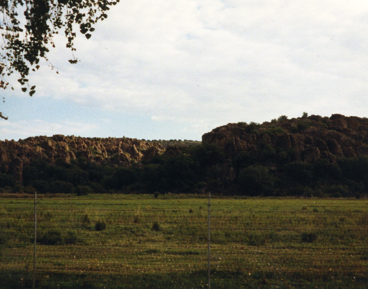
Today we got into the Texas Hill Country with some steep climbs although they are not very long. A tough day for short miles. I have combined today and tomorrow on tomorrows map; Lost Maples is at location 'B'.
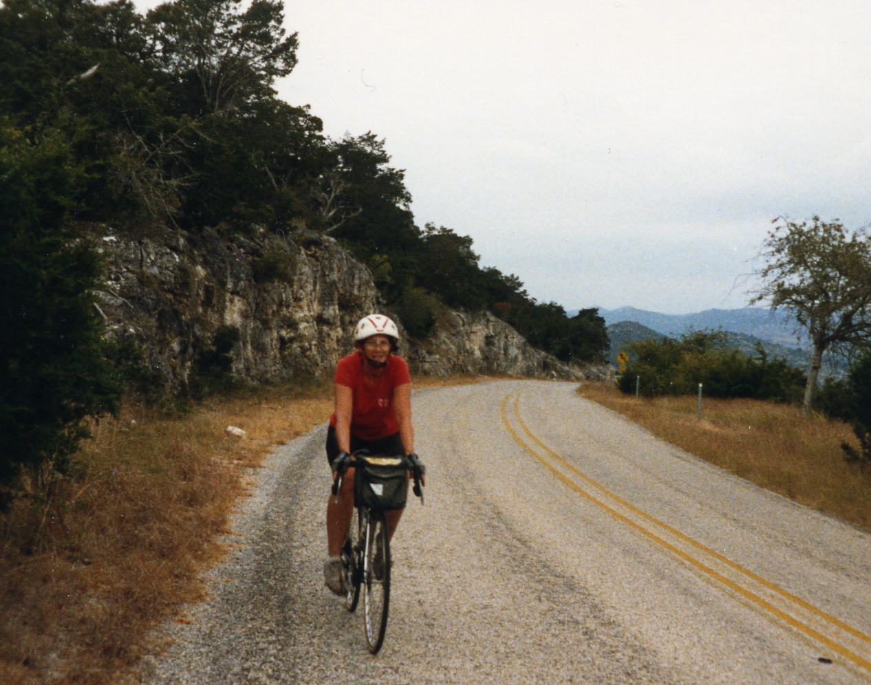
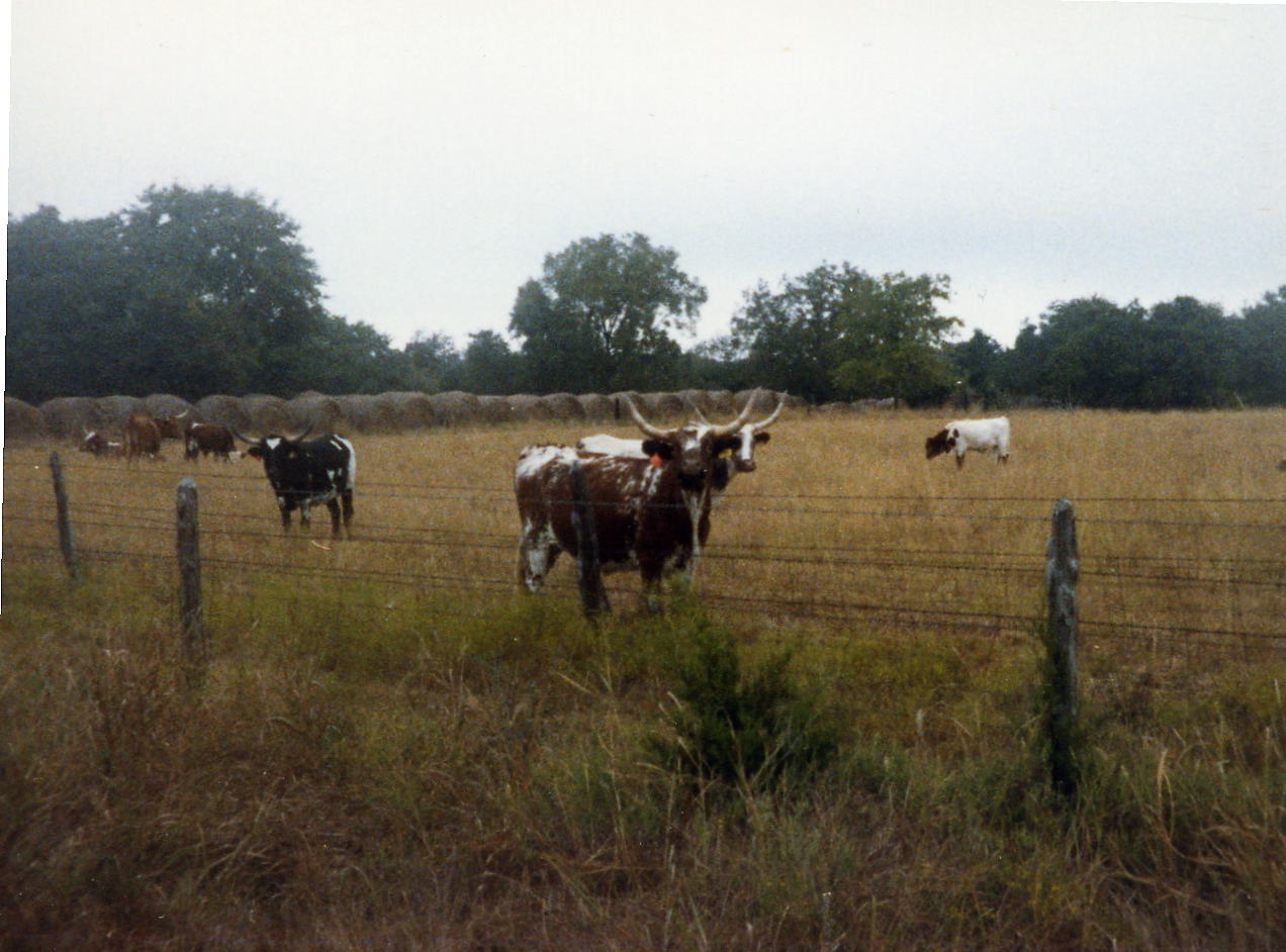 A rider just reaching the summit of the longest and steepest climb in the Hill Country on Farm Road 337. Then two more pictures of the Hill Country. These were some of the long-horns that I saw on the trip. There are a lot of 'trophy ranches' in the Hill Country so it would be natural to see some there. There are also a lot of exotic animal ranches that have African animals on their 'ranches'.
16 Oct: Lost Maples State Park to Kerrville, TX
Roads: TX-187, TX-39, TX-27, Loop 534 & TX-173
Distance: 49.5 miles
Camp: Kerrville State Recreation Area
Route
Another day in the Hill Country but not as steep as yesterday. Do not recall anything memorable and took no pictures.
17 Oct: Kerrville to Blanco, TX
Roads: TX-173, Wharton Rd/Center Point River Rd, TX480, Farm Road 1350, US 87 then Left on W. Frontage Road goes under I-10 becomes E. Frontage Road, Farm Road 1621, Farm Road 473 & Kendalia Rd/Blanco County Rd 102
Distance: 59.6 miles
Camp: Blanco State Recreation Area
Route
Today was one of the more complicated routes that I have followed. It took two 8 1/2x11 pages to write up the route with some instructions reading 'Y intersection, keep left on unmarked road'. I have prepared a map that approximates the route and have simplified it. Basically we followed the Guadalupe River from Kerrville to Waring which was a scenic route with very little traffic.
18 Oct: Blanco to Austin, TX
Roads: US 281, TX-165, Hays County Road 190, Hays County Road 220, US 290, Loop 64, Farm Road 12/Brooks Ranch Rd, Farm Road 3238, TX-71, Farm Road 2244, Loop 1 E. Frontage Road/Barton Springs Rd & Congress Av
Distance: 54.1 miles
Camp: Ark Co-op (near Texas University)
Route
The route today was almost as bad as yesterday but not as many 'unmarked roads', an accurate cycle computer was a must because the indicated distance between turns was very good. The trick was to ride from turn to turn and then reset your cycle computer and watch it for the next distance indicated. I did not get lost these past 2 days because of the good distances shown on the trip sheets and resetting computer a lot.
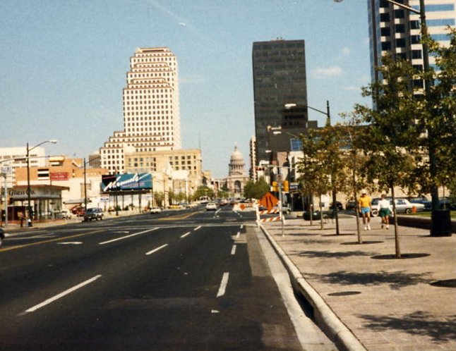
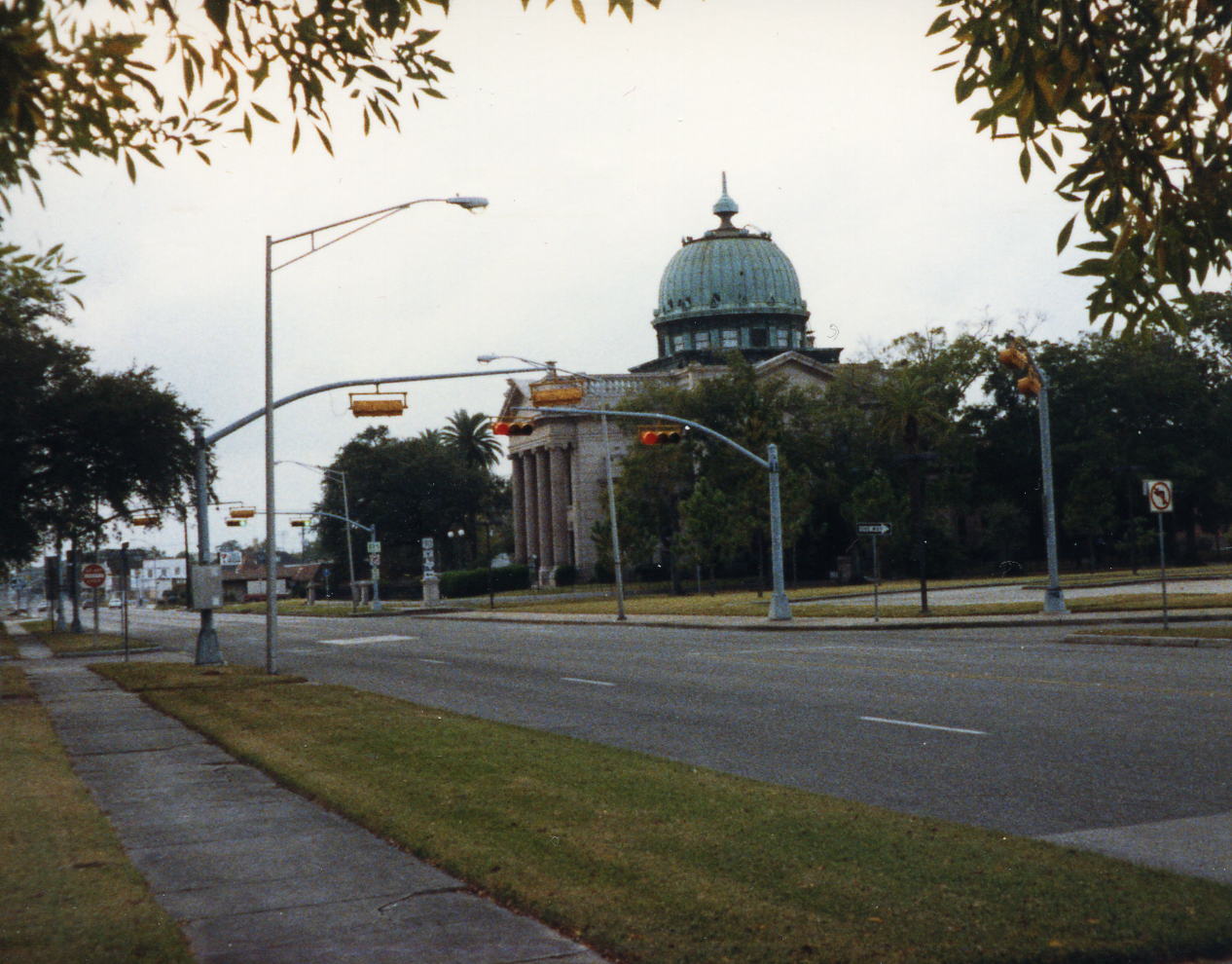
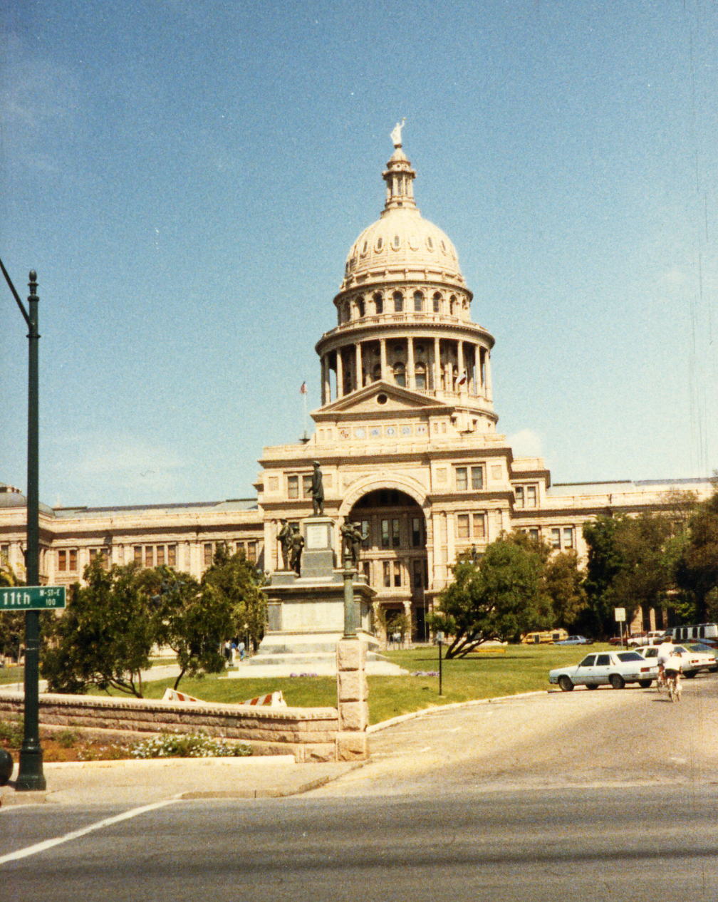 This is looking down Congress Av toward the Texas State Capital; quite an impressive building.
19 Oct: Austin, TX
Roads: None
Distance: None
Camp: Ark Co-op
I don't remember doing anything in Austin. The Co-op was near the University campus and I remember seeing the clock tower that Charles Joseph Whitman used in his sniper killing of 14 and wounding of 32 people on August 1, 1966. I didn't take any pictures, probably got laundry done and dinner at Matt's El Rancho (but don't remember the dinner).
20 Oct: Austin to Buescher State Park, TX
Roads: Martin Luther King/Farm Road 969, TX-71/21, Old Austin Hwy, Loop 150, State Park Road 1A & 1C
Distance: 47.5 miles
Camp: Buescher State Park
Route
I remember this as being the last day of good scenery. The remainder of this trip seems in my mind to be one of riding through a tunnel of green trees. Nothing but pine trees on both sides of the road for as far as the eye can see all day long.
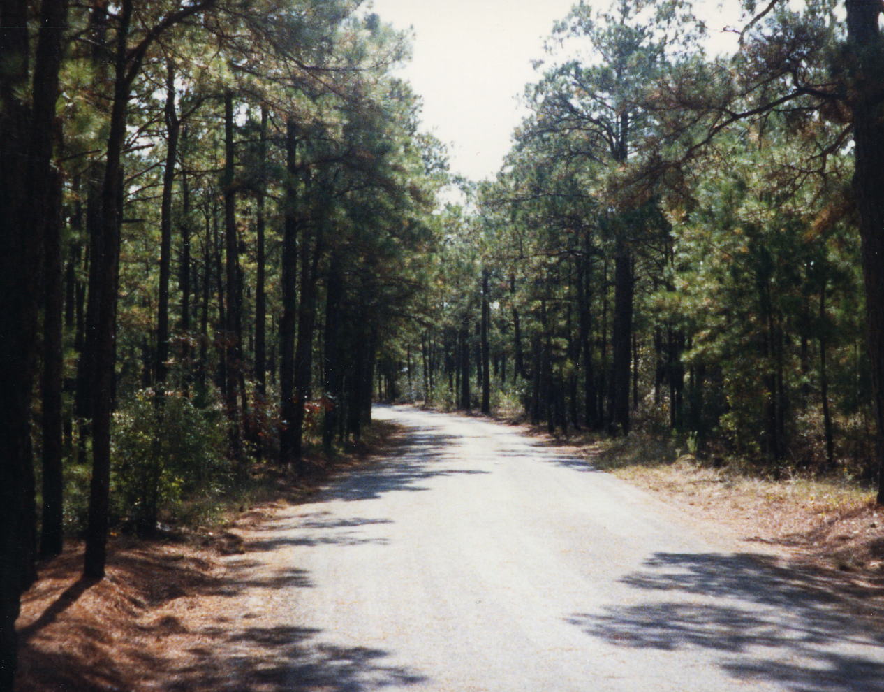
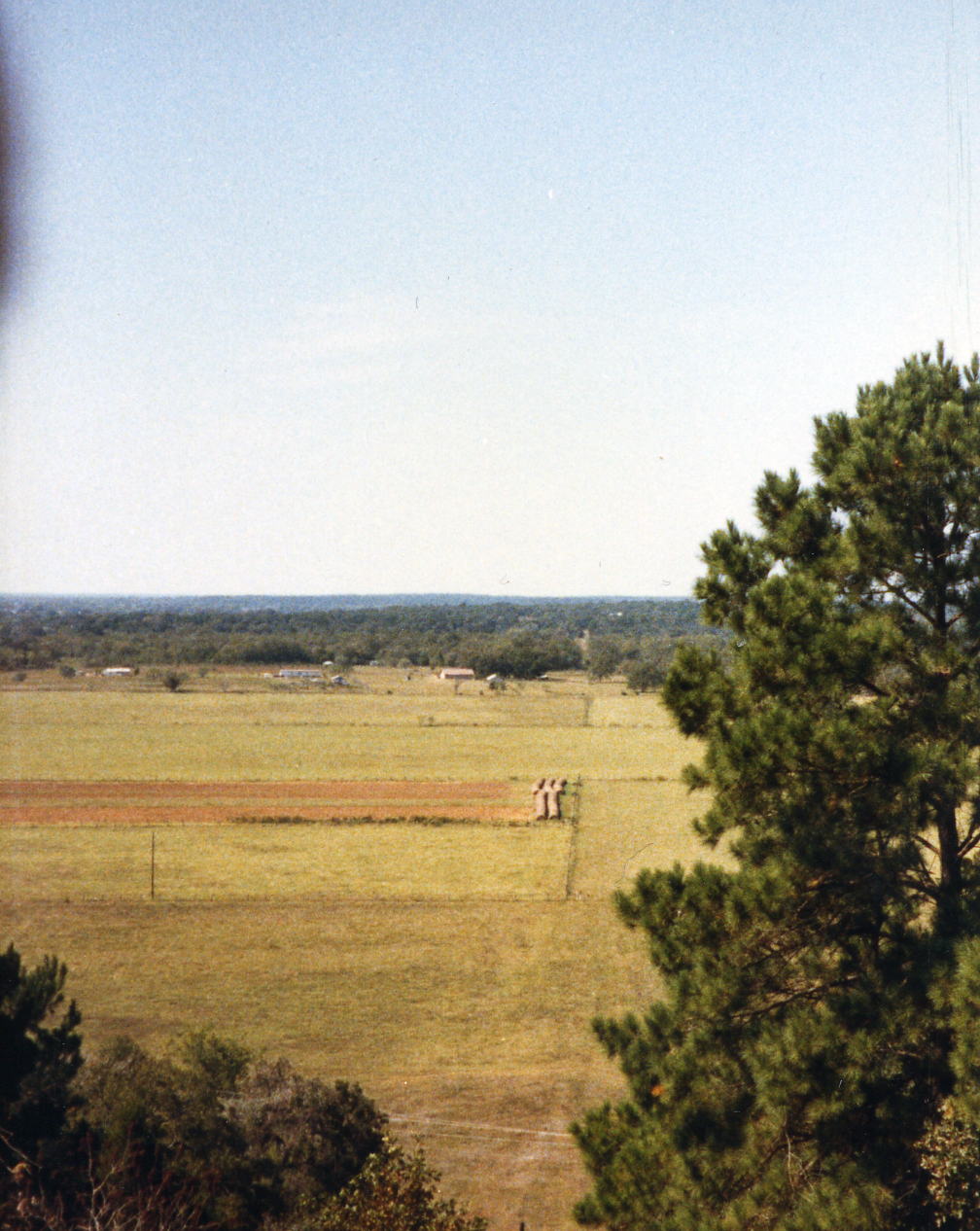 The tunnel of green that last for most of the way from here to Orange. The last open view that I can remember after Austin. This was taken from in Bastrop or Buescher Park which is on a ridge that soon gives way to flat land across East Texas.
21 Oct: Buescher State Park to Winedale, TX
Roads: State Park Road 1C, Farm Roam 153, US 77, TX-71/159, TX-159, TX-237, Farm Road 1457 & Farm Road 2714
Distance: 45.6 miles
Camp: Winedale Historical Center
Route
I don't remember much about this day except when I saw the picture of the Post Office. I know that I stopped to mail a separation/alimony check to my ,ex-wife to be (we separated in March but the divorce was not final until January 1988). I could find only a P O Box address for the Winedale Historical Center but it is on 2714 and only 1.2 miles after the turn from 1457.
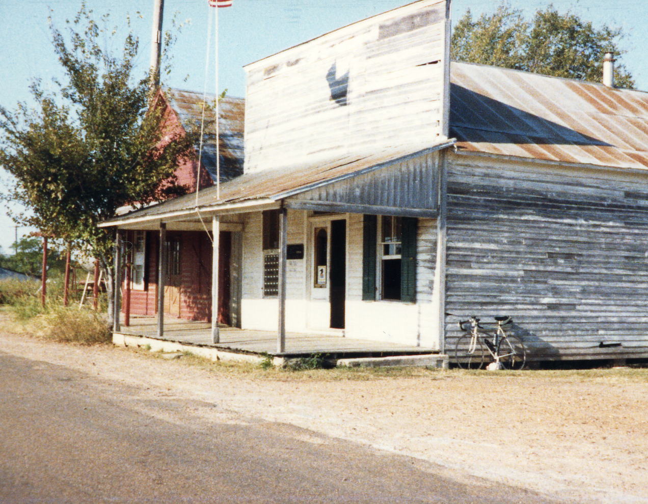
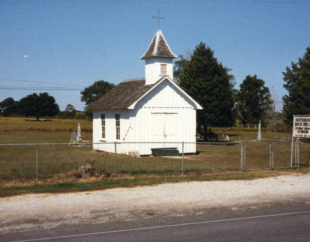 I think this Post Office is in Oldenberg, in fact it probably is most of Oldenberg. The World's Smallest Catholic Church, which I would not expect Texas to claim, is about 4 miles east of Oldenberg.
22 Oct: Winedale to Navasota, TX
Roads: Farm Road 2714, Farm Road 1457, TX-237, US 290, Farm Road 390, TX-105, Farm Road 912/1155, TX-105 & TX Bus 6
Distance: 59.8 miles
Camp: Vangard Motel
Route
I took a couple of pictures today but remember nothing about the route or the ride - probably more pine trees. We had a complicated route again that would have kept me entertained trying not to get lost.
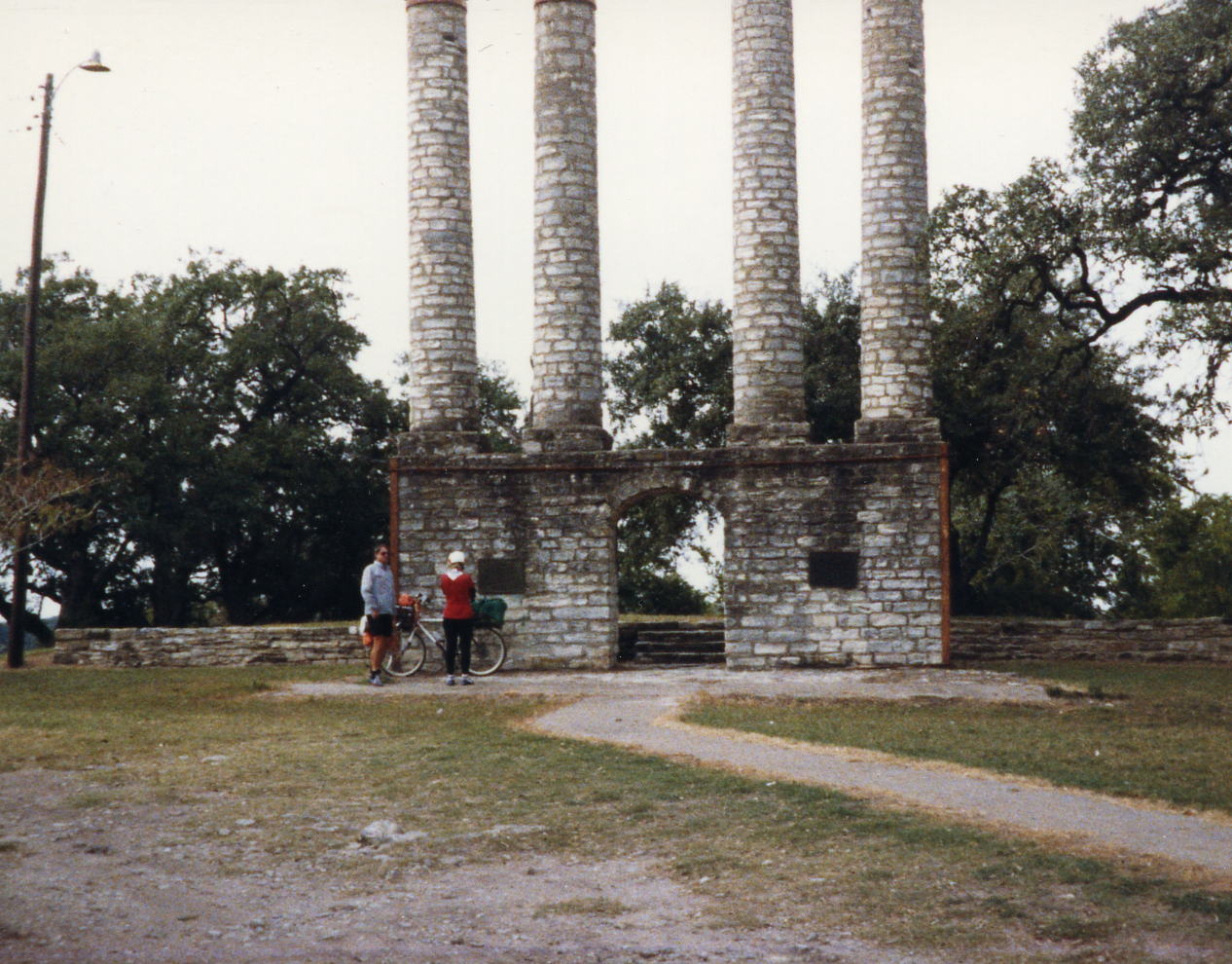
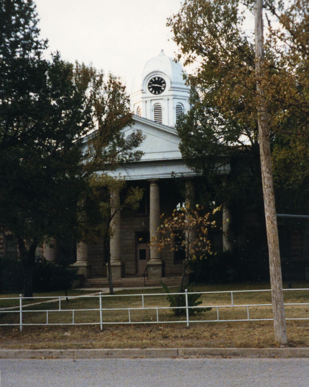
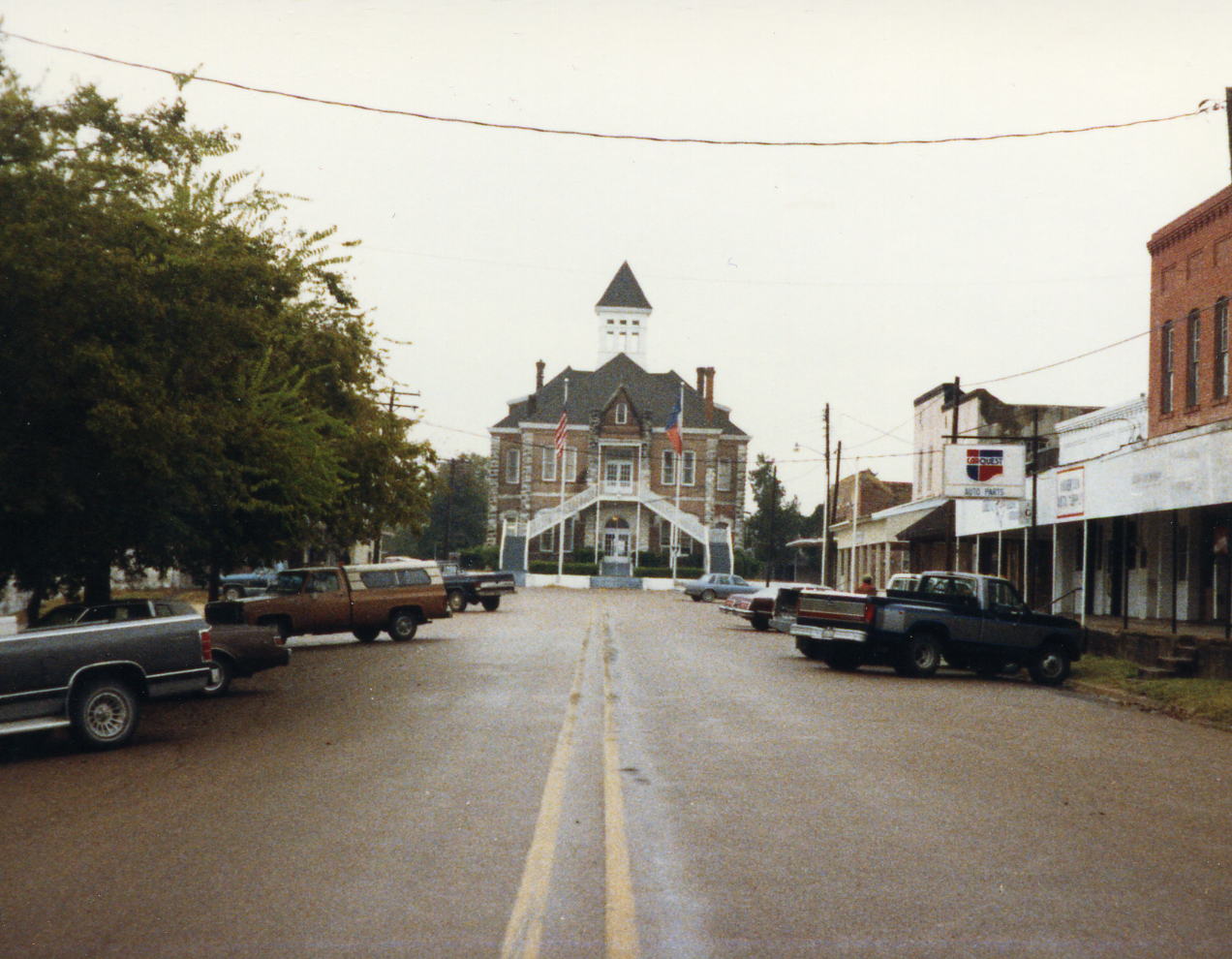 This is the remains of Old Baylor College about a mile east of Gay Hill, TX. The County Court House and most of downtown Navasota, TX. I loved the Court Houses of Texas, I think you could spend months just traveling around the state to see them all.
23 Oct: Navasota to Cleveland, TX
Roads: TX Bus 6, TX-105, TX-90, Farm Road 1174, Loop 429, Farm Road 149, Farm Road 1375, Farm Road 150, US 75 & Farm Road 1725
Distance 75.0
Camp: Motel in Cleveland
Route
The planned overnight stop was to be a tent camp in the Double Lakes Recreation Area but we had rain all day and the tour organizer asked the riders if they would rather motel it. The vote was for a motel so we added about 10 miles to the days planned ride and spent the night in Cleveland, TX. A lot of the day was riding through Sam Houston National Forest but it looked much like what we had been riding through for the past days.
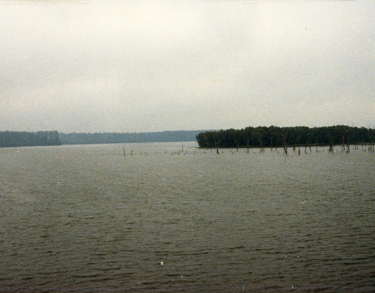 We were getting a lot of rain this day when we went by Lake Conroe but it was so rare to not have trees beside the road that I had to stop and get a picture.
24 Oct: Cleveland to Orange, TX
Roads:Farm Road 787, Farm Road 1293, Farm Road 418, Farm Road 92, Loop 498, Us 96, Farm Road 105, Farm Road 1132, N Frontage Road @ Farm Road 1136 S Frontage Road, Bus 90, Park Av & 8th St
Distance: 104.0 miles
Camp: The Orange House
Route
I have simplified the road directions shown above (there were some unmarked roads) and the map is an approximation of our route. A very long day with complicated route instructions that covered 2 - pages. I did make it however!
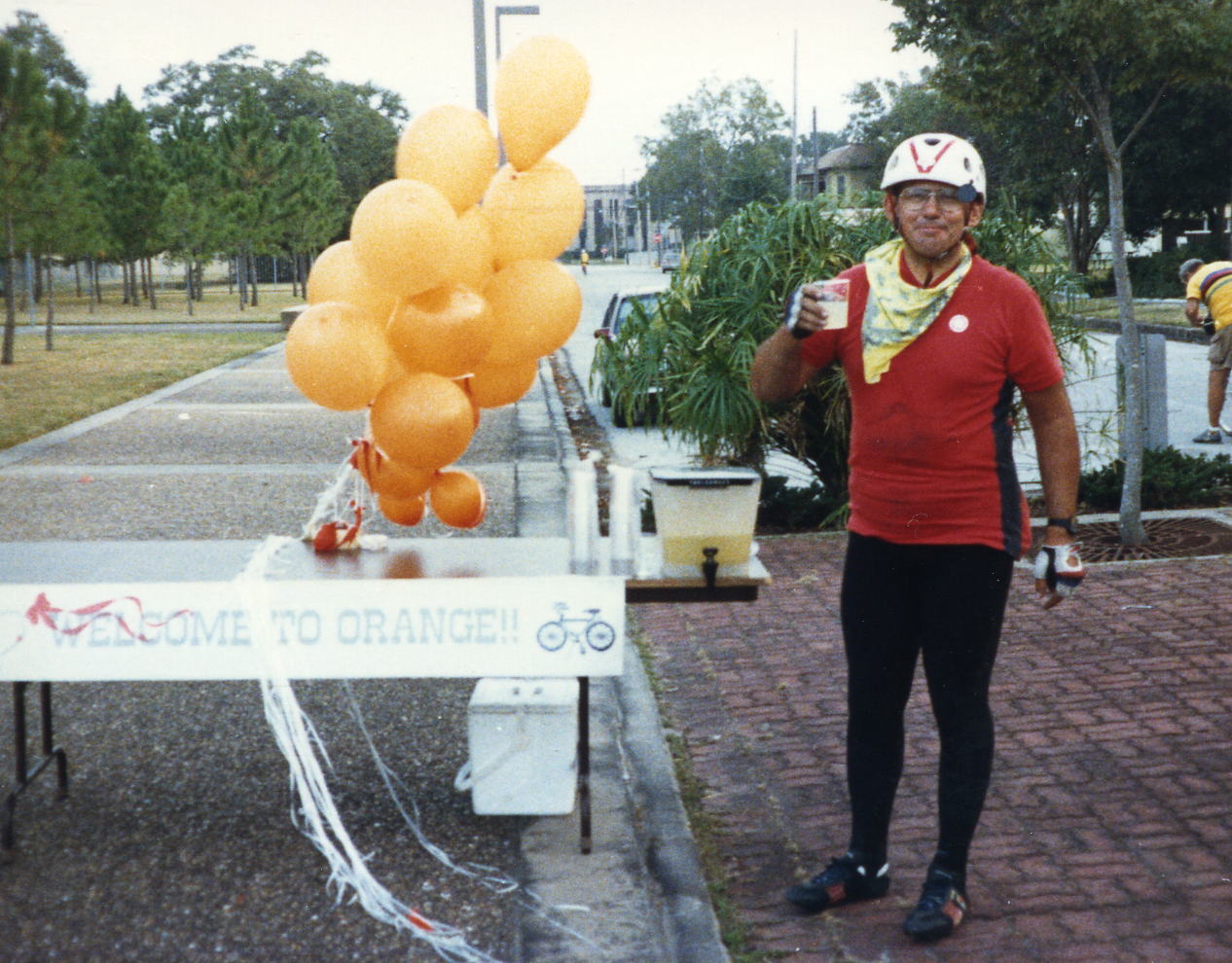 The Orange City Hall where our Trans Texas Tour terminated. Yours truly having a celebratory cup of orange juice at the completion of a Century Ride the last day and a thousand mile tour.
25 Oct: Orange, TX
I am reasonably sure that the tour organizer gave me a van ride to the Houston Airport where I caught a plane back to Ontario, CA and then home to Upland, CA at that time.
Epilogue: The more I have thought about this tour over the years the more I have decided that I should have stopped in Austin. I liked the West Texas portion but the eastern part of the state was not enjoyable for me. That did not put me off from bicycle touring and I started looking for my next adventure soon after going back to work.